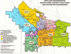
Portland Neighborhood Map
Shows neighborhood associations of Portland, Oregon.
444 miles away
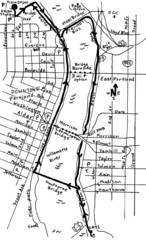
Portland Oregon downtown walk Map
Walk from the Amtrak Station to the Oregon Museum of Science and Industry. 4 miles round trip...
444 miles away
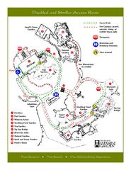
Portland Japanese Garden Map
So Far My favorite Japanese Garden
444 miles away
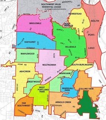
Portland, Oregon Neighborhood Map
444 miles away
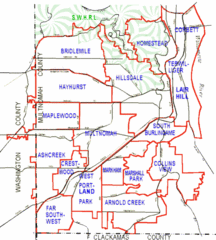
Portland, Oregon Neighborhood Map
444 miles away
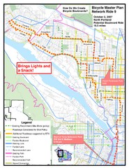
Portland, Oregon Bike Map
444 miles away
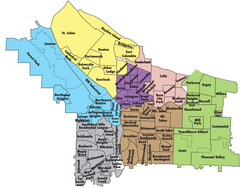
Portland, Oregon Neighborhood Map
444 miles away
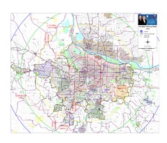
Portland, Oregon Tourist Map
444 miles away
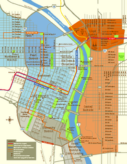
Central Portland, Oregon Map
Tourist map of Portland, Oregon. Shows museums, sports arenas, parks, and public transportation.
444 miles away
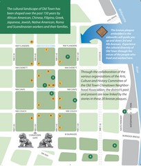
Old Town-China Town Map
Portland's oldest neighborhoods and history are easily seen in Old Town-China Town.
444 miles away
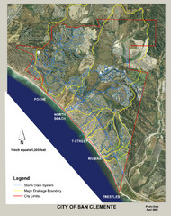
San Clemente Storm Drainage Map
Storm Drainage Map for San Clemente city. Includes color-coded zones of storm drain systems, major...
444 miles away
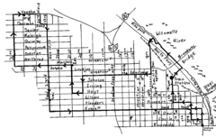
Pearl District Walking Map, Portland Oregon Map
Walk through the Pearl District, along the Willamette River and up to 23rd Street. Detour to the...
445 miles away

Maywood Park Oregon Road Map
445 miles away
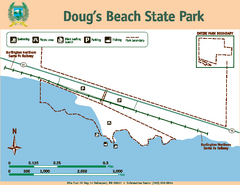
Dougs Beach State Park Map
Map of park with detail of trails and recreation zones
445 miles away
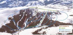
Pomerelle Ski Area Ski Trail Map
Trail map from Pomerelle Ski Area, which provides downhill, night, and terrain park skiing. It has...
445 miles away
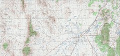
Delta Quad Sheet Detail 1972 Map
446 miles away
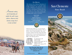
San Clemente State Beach Map
Map of beach and park with detail of trails and recreation zones
446 miles away
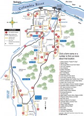
Hood River County Fruit Loop map
35-mile scenic drive through the valley's orchards, forests, farmlands, and friendly...
446 miles away
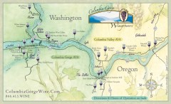
Columbia Gorge Wine Map
Wineries of the Columbia River Gorge area, Oregon.
447 miles away
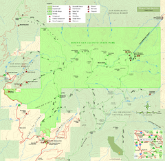
Mount San Jacinto State Park Map
Map of park with detail of trails and recreation zones
447 miles away
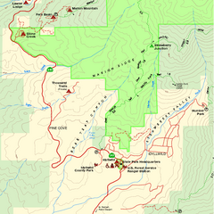
Mount San Jacinto State Park SW Map
Map of SW region of park with detail of trails and recreation zones
447 miles away
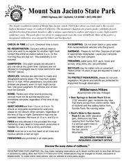
Mount San Jacinto State Park Campground Map
Map of campground region of park with detail of trails and recreation zones
447 miles away
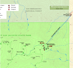
Mount San Jacinto State Park NE Map
Map of NE region of park with detail of trails and recreation zones
447 miles away
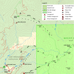
Mount San Jacinto State Park NW Map
Map of NW region of park with detail of trails and recreation zones
447 miles away
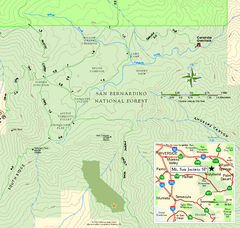
Mount San Jacinto State Park SE Map
Map of SE region of park with detail of trails and recreation zones
447 miles away
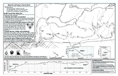
Forest Park Mountain Biking Map
Forest Park now includes over 5,100 wooded acres making it the largest, forested natural area...
448 miles away
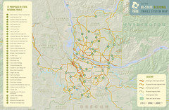
Bi-State Regional Trail System Plan Map
Shows plan for developing 37 Bi-State Regional Trails
448 miles away
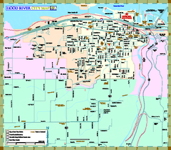
Hood River Map
Tourist map of city of Hood River, Oregon.
449 miles away
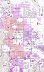
Palm Springs California City Map
449 miles away
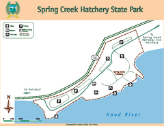
Spring Creek Hatchery State Park map
Map of park with detail of trails and recreation zones
451 miles away
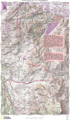
Palm Canyon Epic Trail Map
Upper Trailhead Map. Topo map marked with detail route and notes for ride.
452 miles away
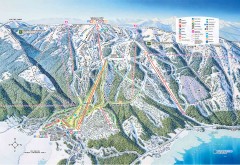
Tamarack Ski Trail Map
Official ski trail map of Tamarack ski area from the 2007-2008 season.
455 miles away
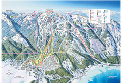
Tamarack Resort Ski Trail Map
Trail map from Tamarack Resort, which provides downhill, nordic, and terrain park skiing. It has 7...
455 miles away

Zion Canyon Map
A detailed map of the Zion Canyon in Zion National Park
455 miles away
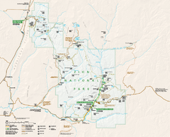
Zion National Park Official map
Official park map of Zion National Park. Shows trails, roads, and all park facilities.
457 miles away
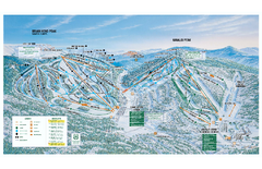
Brian Head Ski Trail Map
Official ski trail map of Brian Head ski area from the 2007-2008 season.
458 miles away
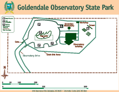
Goldendale State Park Map
Map of park with detail of trails and recreation zones
458 miles away
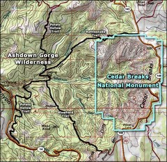
Topo Map of Ashdown Gorge Wilderness, including...
Cedar Breaks is similar to Bryce Canyon in many ways, but is more of an amphitheater than a canyon...
458 miles away
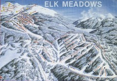
Elk Meadows Resort Ski Trail Map
Trail map from Elk Meadows Resort.
459 miles away


