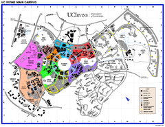
University of California at Irvine Map
University of California at Irvine Campus Map. All areas shown.
426 miles away
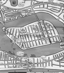
Balboa Island 2007 approx. Map
426 miles away

Limestone Canyon & Whiting Ranch Wilderness...
427 miles away
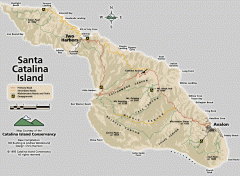
Santa Catalina Island road and trail map
Shows all roads, trails, and campgrounds on Santa Catalina Island.
428 miles away
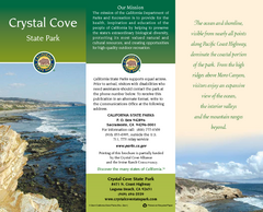
Crystal Cove State Park Map
Map of park with detail of trails and recreation zones
429 miles away
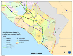
Orange County Map
432 miles away
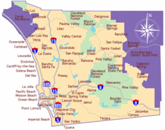
Laguna Beach Tourist Map
433 miles away
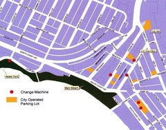
Downtown Laguna Beach Tourist Map
433 miles away
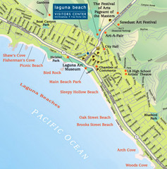
Laguna Beach Tourist Map
433 miles away
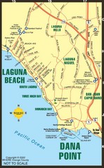
Laguna Beach Tourist Map
433 miles away
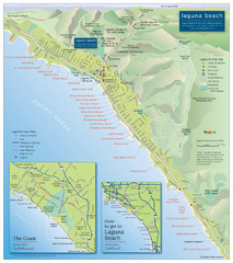
Laguna Beach Tourist Map
433 miles away
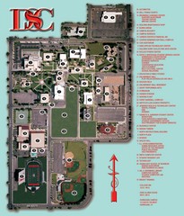
Dixie State College Campus Map
Campus Map
433 miles away
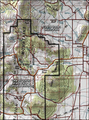
City of Rocks Topo Map
This topo map does not do justice to City of Rocks which is a wonderful reserve that is managed by...
434 miles away
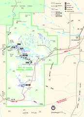
City of Rocks Park Map
This is the official Map for the reserve
434 miles away
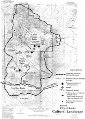
Sites of Cultural Importance, City of Rocks Area...
434 miles away
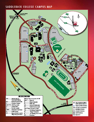
Saddleback College Map
435 miles away
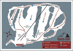
Cooper Spur Ski Area Ski Trail Map
Trail map from Cooper Spur Ski Area.
435 miles away

General Thomas F. Riley Wilderness Park Map
435 miles away
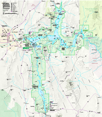
Lake Mead National Recreation Area Map
435 miles away

Lake Oswego Oregon Road Map
437 miles away

King City Oregon Road Map
437 miles away

Happy Valley Oregon Road Map
437 miles away
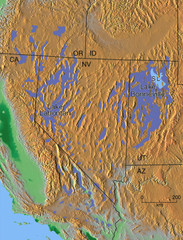
Pleisocene Lakes of western U.S. Map
438 miles away
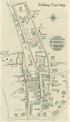
San Juan Capistrano walking tour Map
Architectural walking tour map of San Juan Capistrano, California.
438 miles away
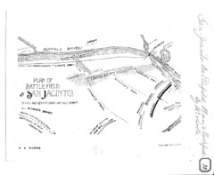
The Battle of San Jacinto, Texas Historical Map
438 miles away
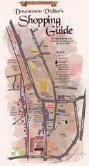
San Juan Capistrano Shopping Center Guide Map
439 miles away

Tigard Oregon Road Map
439 miles away
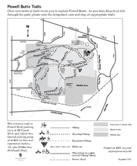
Powell Butte Nature Park Trail Map
Trail map of Powell Butte Nature Park. Shows over 9 miles of trails
440 miles away
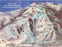
Soldier Mountain Ski Trail Map
Trail map from Soldier Mountain, which provides downhill and terrain park skiing. It has 3 lifts...
440 miles away
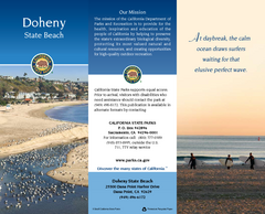
Doheny State Beach Map
Map of beach with detail of trails and recreation zones
440 miles away
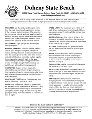
Doheny State Beach Campground Map
Map of beach and park with detail of trails and recreation zones
440 miles away
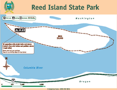
Reed Island State Park Map
Map of park with detail of trails and recreation zones
443 miles away
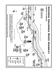
Historic Columbia River Highway Map
Official map from the US Forest Service. Shows the Corbett to Dodson stretch of Highway 30 with...
443 miles away
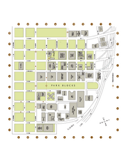
Portland State University Map
Campus Map of Portland State University. All buildings shown.
443 miles away
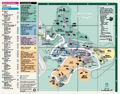
Oregon Zoo Map 2009
443 miles away
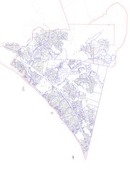
San Clemente Tract Map
Tract Map of San Clemente, California. Includes roads, buildings, highways and zip code zones.
444 miles away
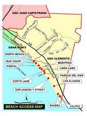
San Clemente Beach Map
444 miles away
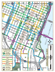
South Downtown Portland Bike Map
Biking map of southern downtown Portland, Oregon. Shows bike paths, bike parking, and bike shops.
444 miles away
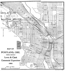
Portland, Oregon Map
Map of Portland, Oregon during centennial exposition of the Lewis & Clark Exploration...
444 miles away
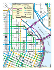
North Downtown Portland Bike Parking Map
Biking map of northern downtown Portland, Oregon. Shows bike paths, parking, and stores.
444 miles away

