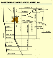
Downtown Bakersfield Redevelopment Area Map
The Downtown Redevelopment Area was established in 1972 and expanded in 1974, 1976, and 1979. It...
289 miles away

Orange Grove RV Park, Bakersfield California Map
289 miles away

Bakersfield City Limits Map
289 miles away
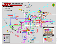
Bakersfield California Bus System Map (G.E.T. Bus)
Entire system map of all routes Golden Empire Transit offers in the City of Bakersfield, California.
289 miles away
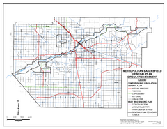
Metropolitan Bakersfield General Plan &ndash...
This map depicts the Circulation Element of the Metropolitan Bakersfield General Plan. This is a...
289 miles away
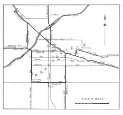
Bakersfield, 1944 Map
Official California State Division of Highways Map
289 miles away
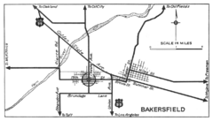
Bakersfield, 1934 Map
Official California State Division of Highways Map
289 miles away
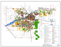
City of Bakersfield Zoning Map
This map depicts zoning for the City of Bakersfield. This map is not the official zoning map for...
289 miles away
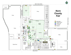
Kern County Fair Map
291 miles away
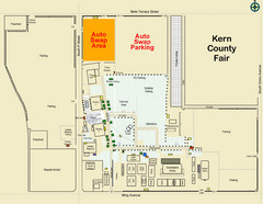
Bakersfield's Auto Swap Meet Map
291 miles away

Buena Vista Lakes Map
Buena Vista Aquatic Recreation Area is located off of Taft Highway, 23 miles southwest of...
293 miles away

Buena Vista Aquatic Recreation Area, Lake Webb...
293 miles away

California Aquaduct Map in Kern County
The California Aqueduct is the principal water conveyance structure for the California State Water...
294 miles away
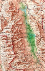
Death Valley National Park Map
298 miles away

Snowmobiling Map, Elko County, Nevada
Map of snowmobiling opportunities in Elko County, Nevada. Snowmobiling areas, roads, and towns are...
299 miles away
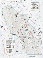
Death Valley National Park map
Official NPS map of Death Valley National Park. Shows all roads (paved and unpaved), 4 wheel drive...
302 miles away
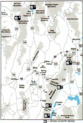
Cross-country Skiing, Elko County, Nevada Map
Map of cross-country skiing opportunities in Elko County, Nevada. Shows skiing locations, roads...
303 miles away
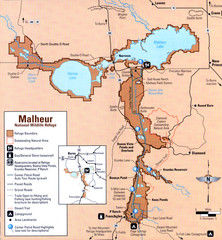
Malheur National Wildlife Refuge Map
Detailed Map of the Malheur Wildlife Refuge in Oregon showing places of interest, roads and...
303 miles away
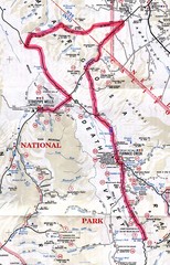
Death Valley Guide Map
303 miles away
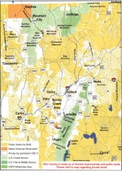
Land Use Map of Elko County, Nevada
Land use map of Elko County, Nevada. Shows lands classified as public or private, and owners of...
305 miles away
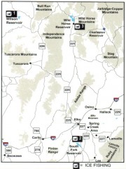
Icefishing Map, Elko County, Nevada
Map of ice fishing locations in Elko County, NV. Shows reservoirs, roads and towns.
306 miles away
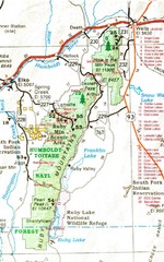
Ruby Mountains Area Map
Included are the communities of Elko, Wells, Deeth, Jiggs, Lee, Lamoille and Spring Creek. Some...
308 miles away

Death Valley National Park Map
309 miles away
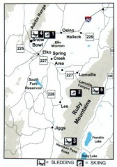
Skiing and Sledding in Elko County, Nevada Map
Map of skiing and sledding opportunities in Elko County, Nevada, showing skiing and sledding...
309 miles away
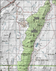
Ruby Mountains Wilderness Map
Overview map of Ruby Mountains Wilderness and Lamoille Canyon
310 miles away
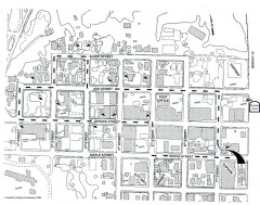
Myrtle Point walking tour Map
Walking tour map of the Historic homes of Myrtle Point in the Coquille Valley of Oregon.
310 miles away
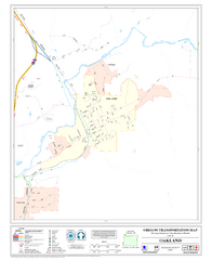
Oakland Oregon Road Map
313 miles away
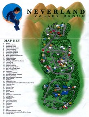
Michael Jackson's Neverland Ranch Map
Map shows all points of interest at Michael Jackson's Neverland Ranch near Los Olivos, CA.
314 miles away
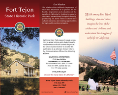
Fort Tejon State Historic Park Map
Map of park with detail of trails and recreation zones
314 miles away
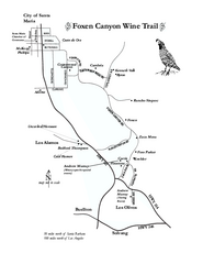
Foxen Canyon Wine Trail Map
Foxen Canyon area wineries and vineyards, near Santa Barbara, California.
315 miles away
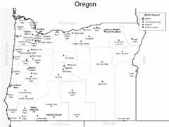
Oregon Airport Map
318 miles away
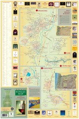
Oregon Winery Map / Local Side
319 miles away
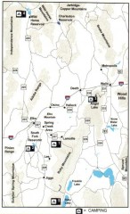
Camping in Elko County, Nevada Map
Map of camping opportunities in Elko County, Nevada, showing camp grounds, roads and towns.
322 miles away
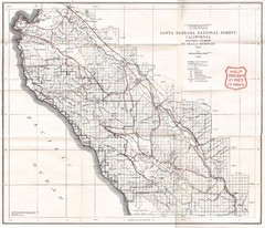
Santa Barbara National Forest 1924 Map
Los Padres National Forest Map. Prior to 1936 it was known as the Santa Barbara National Forest.
323 miles away
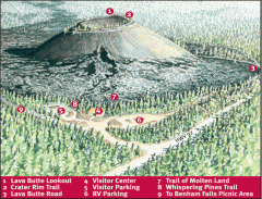
Newberry National Volcanic Monument - Lava Lands...
Map of Lava Butte which rises 500 feet above the visitor center. This cinder cone erupted 7,000...
326 miles away
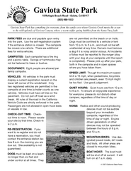
Gaviota State Park Campground Map
Map of campground region of park with detail of trails and recreation zones
330 miles away
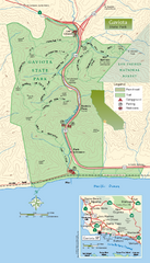
Gaviota State Park Zoom Map
Zoom map of park with detail of trails and recreation zones
330 miles away
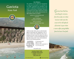
Gaviota State Park Map
Map of park with detail of trails and recreation zones
330 miles away
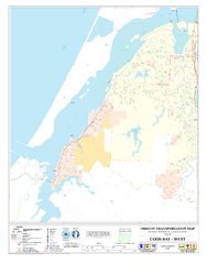
West Coos Bay Oregon Road Map
330 miles away
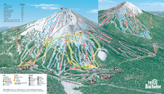
Mt. Bachelor Ski Trail map
Official ski trail map of Mount Bachelor ski area from the 2006-2007 season.
332 miles away

