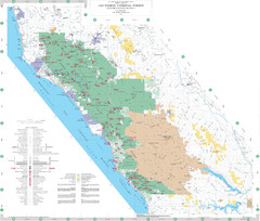
Los Padres National Forest Map - North
Overview map of the northern section of Los Padres National Forest in the Monterey Ranger District...
217 miles away
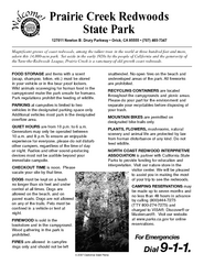
Prairie Creek Redwoods State Park Campground Map
Map of campground region of park with detail of trails and recreation zones
218 miles away

California Agricultural Region Map
219 miles away
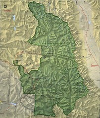
King Canyon and Seqouia Nationa Parks Map
220 miles away
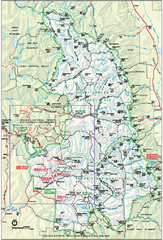
Sequoia National Park map and Kings Canyon...
Official park map of Sequoia National Park and Kings Canyon National Park.
221 miles away
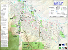
Ashland Trails Map
Trail map of Ashland, Oregon. Shows bicycle routes and public parks and trails.
223 miles away

Limeklin State Park Map
Map of park with detail of trails and recreation zones
223 miles away
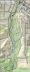
Lithia Park Trail Map
Trail map of Lithia Park in town of Ashland, Oregon. Adjacent to the Oregon Shakespeare Festival.
223 miles away
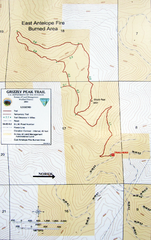
Grizzly Peak Trail Map
Topographic trail map of Grizzly Peak near Ashland, Oregon. Shows trails and distances. From...
226 miles away
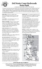
Del Norte Coast Redwoods State Park Campground Map
Map of park with detail of trails and recreation zones
234 miles away

Bear Creek Greenway Map
Trail map of the Bear Creek Greenway connecting Central Point to Ashland, Oregon. Will eventually...
235 miles away
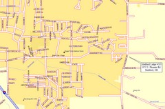
Medford, Oregon City Map
235 miles away
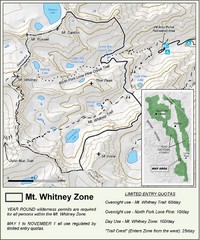
Mt. Whitney Zone Map
Zone map of Mt. Whitney area. Shows trail from Whitney Portal and Zone requiring Limited Use...
238 miles away
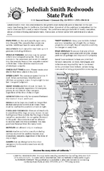
Jedediah Smith Redwoods State Park Campground Map
Map of campground region of park with detail of trails and recreation zones
238 miles away
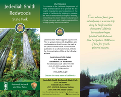
Jedediah Smith Redwoods State Park Map
Map of park with detail of trails and recreation zones
238 miles away
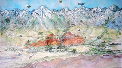
Lone Pine Map
Panorama tourist map of town of Lone Pine, California with surrounding area including the Alabama...
244 miles away
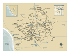
Paso Robles wine country map
Map of Paso Robles area vineyards and wineries.
248 miles away

Colonel Allensworth State Historic Park Map
Map of park with detail of trails and recreation zones
249 miles away
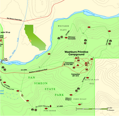
San Simeon State Park East Map
Map of east region of park with detail of trails and recreation zones
250 miles away
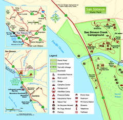
San Simeon State Park West Map
Map of west region of park with detail of trails and recreation zones
250 miles away

San Simeon State Park Map
Map of park with detail of trails and recreation zones
251 miles away
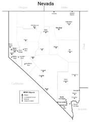
Nevada Airports Map
251 miles away
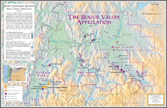
Oregon Rogue Valley wineries Map
Southern Oregon's Rogue Valley wineries
252 miles away
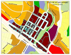
City of Atascadero Map
259 miles away
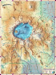
Crater Lake National Park map
Great map of Crater Lake National Park shows all trails, viewpoints, mountains, roads, campgrounds...
263 miles away
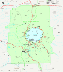
Crater Lake National Park official map
Official map of Crater Lake National Park. Shows hiking trails, elevations of peaks, roads, and...
263 miles away
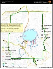
Crater Lake National Park Map
264 miles away
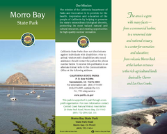
Morro Bay State Park Map
Map of park with detail of trails and recreation zones
268 miles away
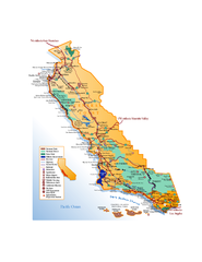
California Central Coast Map
Large tourist map of California's Central Coast. From Monterey to Santa Barbara. Shows all...
268 miles away
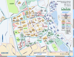
Cal Poly Campus Map
Cal Poly University at San Luis Obispo Campus Map. Includes all buildings, streets, sports fields...
271 miles away
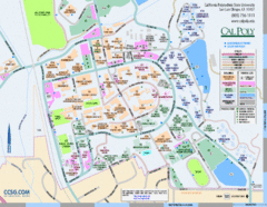
Cal Poly Campus Map
Campus map of California Polytechnic State University in San Luis Obispo, CA
271 miles away
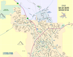
San Luis Obispo City Map - Northern Portion
City map of northern portion of San Luis Obispo, California
272 miles away
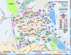
California Polytechnic State University Map
California Polytechnic State University Campus Map. All buildings shown.
273 miles away

Steens Mountain Topo Map
Topography map of the east side of Steens mountain in Oregon.
273 miles away

Upper Kern River Area Map
This beautiful 35 mile stretch of the Upper Kern River from Lake Isabella to Quaking Aspen offers a...
274 miles away
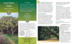
Los Osos Oaks State Reserve Map
Map of reserve with detail of trails and recreation zones
274 miles away
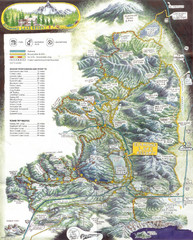
Diamond Lake Tourist Map
279 miles away
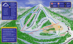
Alta Sierra at Shirley Meadows Ski Trail Map
Official ski trail map of Alta Sierra at Shirley Meadows ski area
279 miles away

