
Montery Bay Sea Floor Map
185 miles away

Laguna Seca Raceway Map
Overview map of the Laguna Seca Raceway. Shows track, parking, and facilities.
186 miles away
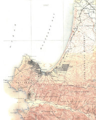
Monterey Map
186 miles away
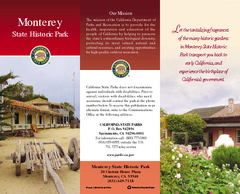
Monterey State Historic Park Map
Map of park with detail of trails and recreation zones
186 miles away
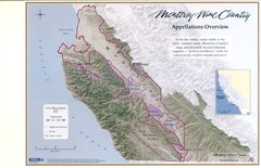
Monterey Wine Country: Appellation Overview Map
The Monterey region is world-famous for unparalleled scenic beauty, golf, and cuisine. Millions of...
186 miles away
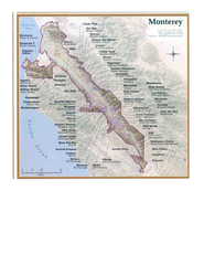
Monterey Wine Country: Appellation Overview Map
The Monterey region is world-famous for unparalleled scenic beauty, golf, and cuisine. Millions of...
186 miles away
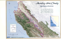
Monterey Wine Country: Appellation Overview Map
The Monterey region is world-famous for unparalleled scenic beauty, golf, and cuisine. Millions of...
186 miles away
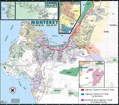
Monterey Area Map
Shows Monterey / Carmel area. Has legend on it with route highlighted to Naval housing.
187 miles away
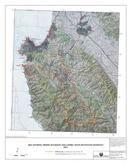
Monterey Peninsula and Carmel River Watershed...
This map contains a digital raster graphic topographic base map of the Monterey Peninsula Water...
189 miles away

San Joaquin Valley Air Basin Map
This map is used to track air monitoring locations in periodic progress reports.
189 miles away
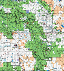
Clip10 Map
Visitor Maps of Modoc National Park, eastern part of the park includes all roads, camping areas...
189 miles away
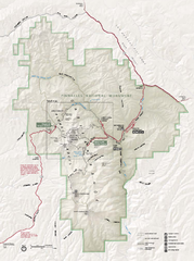
Pinnacles National Monument Map
189 miles away
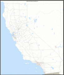
California Zip Code Map
Check out this Zip code map and every other state and county zip code map zipcodeguy.com.
191 miles away
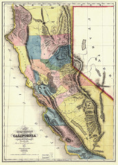
1851 California Regional Map
Great quality map of Californian regions in 1851.
191 miles away
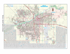
Bakersfield, California City Map
191 miles away
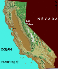
California elevation Map
California map showing elevations by contours, with Lake Tahoe identified.
191 miles away
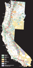
Pacific Crest Trail Route Overview Map
Western United States Map showing National Forests, State Parks, National Parks, Indian...
191 miles away
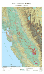
Dairy Locations and Herd Size for the Central...
Map of dairy locations, displayed by herd size in California's Central Valley. Base map...
191 miles away
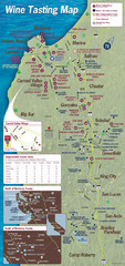
Monterey area wineries map
Map of wineries with public tasting rooms in the Monterey area
192 miles away
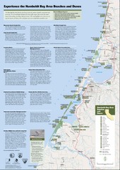
Humboldt Bay Area Beaches and Dunes Map
Humboldt Bay Beaches & Dunes Map & Guide
194 miles away
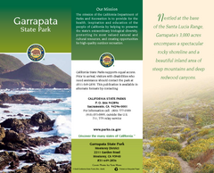
Garrapata State Park Map
Map of park with detail of trails and recreation zones
196 miles away
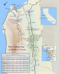
Wine tasting map of Monterey County
Wine tasting map of Monterey County, California, showing vineyards, wineries, and approximate drive...
196 miles away
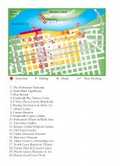
Old Town, Eureka, California Map
Tourist map of the Old Town area of Eureka, California. Shows various attractions including murals...
197 miles away
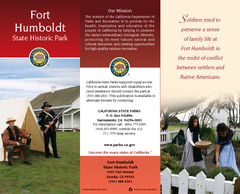
Fort Humboldt State Historic Park Map
Map of park with detail of trails and recreation zones
198 miles away
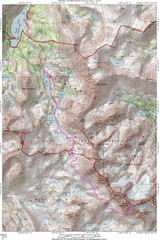
North Palisade South Lake Route Topo Map
Topo map of route from South Lake to North Palisade, 14,242 ft.
200 miles away

Nevada Map
204 miles away

Redwood National Park Map
205 miles away
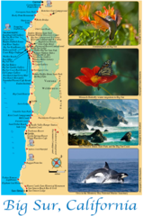
Big Sur Map
Tourist map of Highway 1 area near Big Sur, California
209 miles away

Lakeview Oregon Road Map
209 miles away
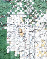
Clip07 Map
Visitor Maps of Klamath, central-western part of the park. Includes all roads, camp grounds...
210 miles away
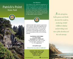
Patrick's Point State Park Map
Map of park with detail of trails and recreation zones
210 miles away
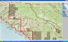
Timber Top, Big Sur Map
Route we climbed to Timber Top in Big Sur. Very steep trail.
211 miles away
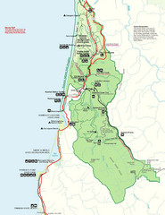
Prairie Crek State Park Map
211 miles away

BTS Route Map
Map of BTS bus routes throughout Klamath Falls
212 miles away
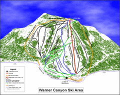
Warner Canyon Ski Trail Map
Trail map from Warner Canyon, which provides downhill skiing.
213 miles away
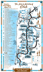
Orick Redwood National Park Map
213 miles away
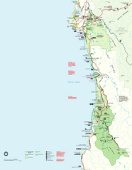
Redwood National Park Map
Official NPS map of Redwood National Park, California. Also shows Jedediah Smith Redwoods State...
213 miles away
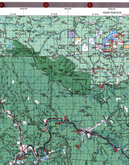
Klamath National Forest Map
Visitor Map of Klamath, western part of the park. Includes all roads, lakes, rivers and camping...
216 miles away
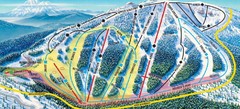
Mt. Ashland Ski Trail Map
Ski trail map of Mt. Ashland ski area near Ashland, Oregon
216 miles away
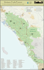
Ventana Wilderness Trails Map
Trail map of the Ventana Wilderness east of Big Sur. Also shows trails in the Silver Peak...
217 miles away

