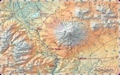
Mt. Shasta Scenic Area map
Great map of the Mt. Shasta region. Shows roads (including 4WD), mountains, lakes, and hiking...
163 miles away
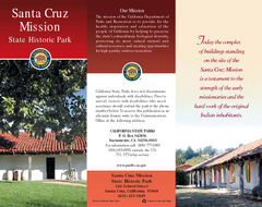
Santa Cruz Mission State Historic Park Map
Map of park and mission
163 miles away

Santa Cruz, California City Map
163 miles away
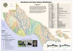
Steelhead and Coho Salmon Distribution Map...
Shows the current distribution of steelhead and resident rainbow trout and coho salmon in Santa...
163 miles away
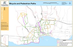
Santa Cruz, CA Bike Map
164 miles away
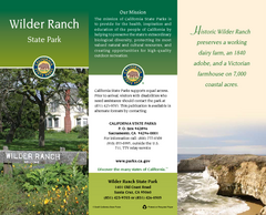
Wilder Ranch State Park Map
Map of park with detail of trails and recreation zones
165 miles away
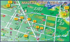
Madera wine map
Tourist map of Madera, California showing Madera Vinters and area wineries.
165 miles away
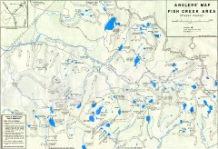
Fish Creek Area Anglers' Map
Hand-drawn fishing map of lakes, peaks, and trails in the Fish Creek Area of the John Muir...
165 miles away
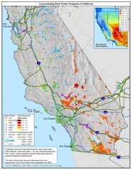
Concentrating Solar Power Prospects California Map
Shows power plants, concentrating solar resources, and transmission lines for all of California...
165 miles away
Sunset & Manresa State Beaches Map
Map of beaches and parks with detail of trails and recreation zones
165 miles away
Natural Bridges State Beach Map
Map of beach and park with detail of trails and recreation zones
166 miles away
San Juan Bautista State Historic Park Map
Map of park with detail of trails and recreation zones
166 miles away
Richardson Grove State Park Campground Map
Map of campground region of park with detail of trails and recreation zones
166 miles away
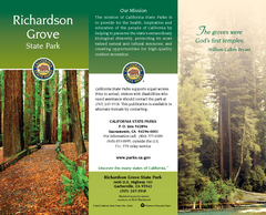
Richardson Grove State Park Map
Map of park with detail of trails and recreation zones
166 miles away
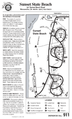
Sunset State Beach Campground Map
Map of park with detail of trails and recreation zones
167 miles away
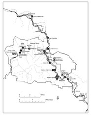
Humboldt Redwoods State Park Map
Park map of Humboldt Redwoods State Park, California. Shows Avenue of the Giants, trailheads and...
169 miles away
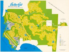
Shelter Cove Map
Shelter Cove Subdivision Map. Shows all streets, houses, commercial buildings, gas stations, and...
169 miles away
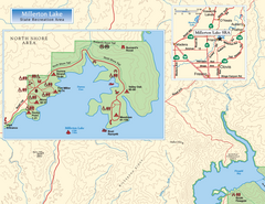
Millerton Lake State Recreation Area NW Map
Map of NW region of park with detail of trails and recreation zones
170 miles away

Millerton Lake State Recreation Area NE Map
Map of NE region of park with detail of trails and recreation zones
170 miles away
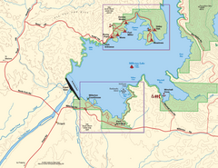
Millerton Lake State Recreation Area SW Map
Map of SW region of park with detail of trails and recreation zones
170 miles away
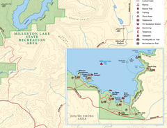
Millerton Lake State Recreation Area SE Map
Map of SE region of park with detail of trails and recreation zones
170 miles away
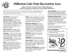
Millerton Lake State Recreation Area Campground...
Map of campground region of park with detail of trails and recreation zones
170 miles away

Millerton Lake State Recreation Area Park Map
Map of park with detail of trails and recreation zones
170 miles away
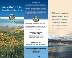
Millerton Lake State Recreation Area Map
Map of park with detail of trails and recreation zones
170 miles away

Fremont Peak State Park Map
Map of park with detail of trails and recreation zones
172 miles away
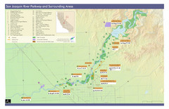
San Joaquin River Parkway Map
Map of the San Joaquin River Parkway. "The San Joaquin River Parkway is a mosaic of parks...
172 miles away
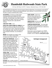
Humboldt Redwoods State Park Campground Map
Map of campground region park with detail of trails and recreation zones
173 miles away
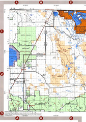
Modoc National Forest Map
Forest Visitor Map of the western most part of Modoc National Park. Includes county boundaries...
177 miles away
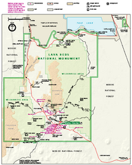
Lava Beds National Monument official park map
Official park map of Lava Beds National Monument. Shows trails, roads, cave entrances, and lava...
178 miles away
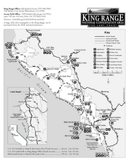
King Range National Conservation Area Trail Map
Trail map of the King Range National Conservation Area, home of the Lost Coast, California. Shows...
179 miles away

Sierra High Route Map
Guide to the Sierra High Route, one of the most challenging treks in the Sierras
179 miles away
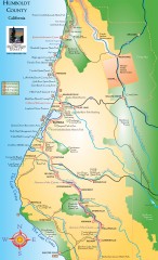
Humboldt County, California Map
Tourist map of Humboldt County, California. Shows parks, wildlife refuges, visitor centers, and...
180 miles away
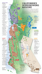
California Wine Map
Wine region map of state of California. Shows 100 American Viticultural Areas (AVAs). There are 4...
181 miles away
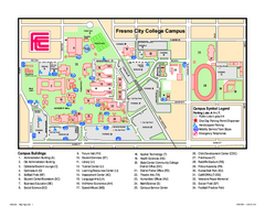
Fresno City College Campus Map
Fresno City College Campus Map. Shows all areas.
183 miles away

Toro County Park Map
Trails of Toro County Park, Salinas Ca.
184 miles away
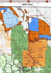
Modoc National Park Map
Visitor Map of Modoc National Park--Western Part. Includes the parameters of the Lava Beds...
184 miles away
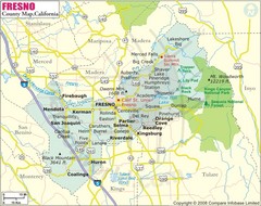
Fresno, California City Map
185 miles away
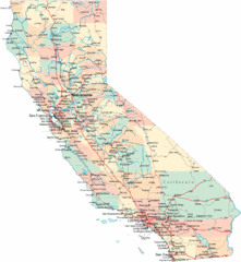
California Road Map
185 miles away
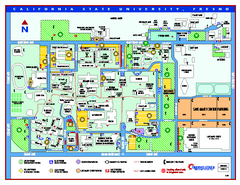
California State University - Fresno Map
California State University - Fresno Campus Map. All areas shown.
185 miles away


