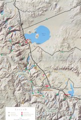
Eastern Sierra Trailhead Map - Lee Vining and...
Shows ranger stations and major trailheads in the eastern Sierra Nevada in the Mono Lake and...
147 miles away
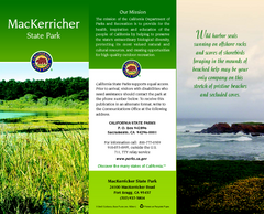
MacKerricher State Park Map
Map of park with detail of trails and recreation zones
147 miles away

Pacific Crest Trail Map
Shows entire route of 2,650 mile Pacific Crest Trail from Mexico to Canada.
148 miles away
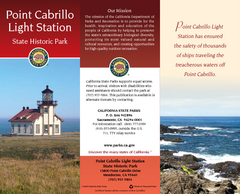
Point Cabrillo Light Station State Historic Park...
Map of park with detail of trails and recreation zones
148 miles away
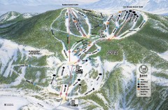
June Mountain Ski Trail Map
Official ski trail map of June Mountain ski area from the 2007-2008 season.
148 miles away
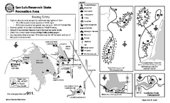
San Luis Reservoir State Recreation Area...
Map of campground region of park and reservoir with detail of trails and recreation zones
149 miles away

San Luis Reservoir State Recreation Area Map
Map of park and reservoir with detail of trails and recreation zones
149 miles away
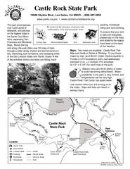
Castle Rock State Park Map
Map of park with detail of trails and recreation zones
149 miles away
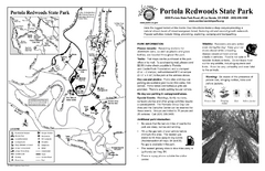
Portola Redwoods State Park Campground Map
Map of campground region of park with detail of trails and recreation zones
149 miles away
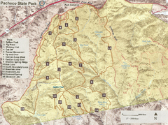
Pacheco State Park Trail Map
Map of park with details of different trails
150 miles away
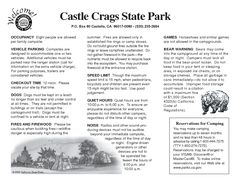
Castle Crags State Park Map
Map of park with detail of trails and recreation zones
150 miles away
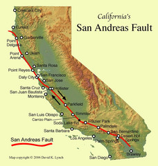
San Andreas Fault, California Map
151 miles away

Pacheco State Park Map
Map of park with detail of trails and recreation zones
152 miles away
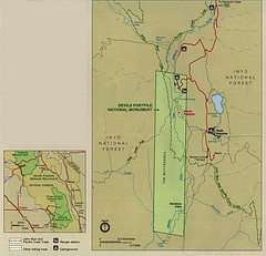
Devil's Postpile National Monument Map
154 miles away
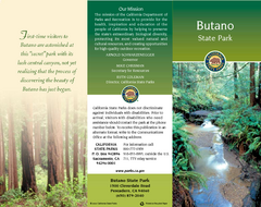
Butano State Park Map
Map of park with detail of trails and recreation zones
154 miles away
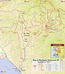
Big Basin Redwoods State Park Trail Map
Topographical trail map of Big Basin Redwoods State Park. Shows roads, trails, natural and other...
154 miles away
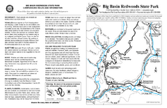
Big Basin Redwoods State Park Map
Map of park with detail of trails and recreation zones
155 miles away

Mammoth Mountain Ski Trail Map
Trail map from Mammoth Mountain, which provides downhill, nordic, and terrain park skiing. It has...
155 miles away
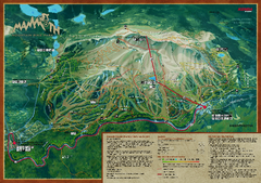
Mammoth Mountain Bike Park Map
Shows all trails at the Mammoth Mountain Bike Park.
155 miles away
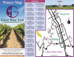
Gilroy Wine Tasting Map
155 miles away
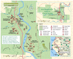
Richardson Grove State Park Map
Park map of Richardson Grove State Park, California. Shows trails, campgrounds, and other...
156 miles away
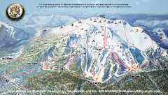
Mammoth Mountain Ski Trail map 2005
Official ski trail map of Mammoth Mountain ski area from the 2005-2006 season.
156 miles away

Mammoth Mountain Downhill Skiing Trails Map
Downhill skiing trails on Mammoth Mountain, near Mammoth Lakes, California. Shows trails and their...
157 miles away
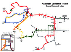
Mammoth Transit Map
Map of Mammoth transit system
157 miles away

Ano Nuevo State Park Map
Map of park with detail of trails and recreation zones
157 miles away
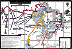
Mammoth Town Map
Map of Mammoth, including shuttle lines
157 miles away
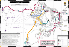
Mammoth Town Map
Town of Mammoth Lakes with shuttle lines included
158 miles away
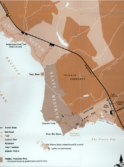
Ano Nuevo State Park Map
Map of park with detail of trails and recreation zones
158 miles away
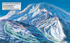
Mt. Shasta Ski Park Ski Trail Map
Official ski trail map of Mount Shasta Ski Park ski area
158 miles away
Pigeon Point Light Station State Historic Park Map
Map of park with detail of trails and recreation zones
158 miles away

California Counties Map
158 miles away
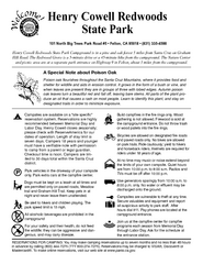
Henry Cowell Redwoods State Park Campground Map
Map of campground region of park with detail of trails and recreation zones
159 miles away
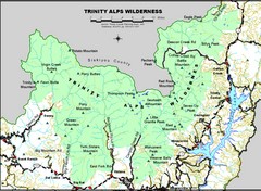
Trinity Alps Wilderness Map
Overview map of the Trinity Alps Wilderness near Weaverville, CA
159 miles away
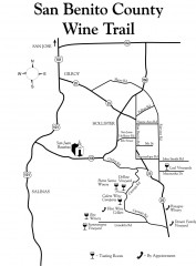
San Benito County Wine Trail Map
Wineries in the San Benito County, California area.
160 miles away
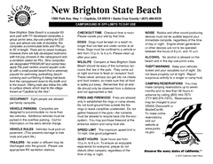
New Brighton State Beach Campground Map
Map of campground region of beach/park with detail of trails and recreation zones
162 miles away
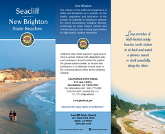
Seacliff & New Brighton State Beaches Map
Map of beaches and parks with detail of trails and recreation zones
162 miles away
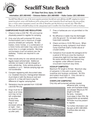
Seacliff State Beach Campground Map
Map of campground region of beach and park with detail of trails and recreation zones
162 miles away
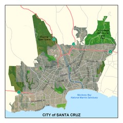
Santa Cruz City Limits Map
Map shows the city limits boundries of Santa Cruz, California
163 miles away
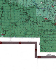
Klamath National Forest Map
Visitor Map of Klamath, eastern part of the forest, includes all roads, camp grounds, creeks, and...
163 miles away


