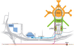
San Francisco International Airport Map
132 miles away

John Muir Trail Elevation Map
Profile, Elevation, Landmarks and Mileage for the John Muir Trail entertainment not accurate enough...
132 miles away
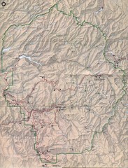
Yosemite National Park Map
Yosemite National Park Map. Shows location of all hiking trails, camp grounds, visitor center and...
132 miles away
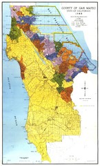
San Mateo County Map
Official county map of San Mateo, California. Scale 1"=5000'
133 miles away
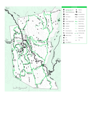
Joseph D. Grant County Park Map
Trail map of Joseph D Grant County Park in Santa Clara County, California
134 miles away
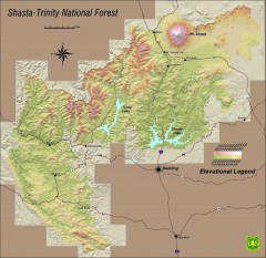
Shasta Trinity National Forest Elevation Map
Shaded relief map of Shasta-Trinity National Forest in northern California
134 miles away
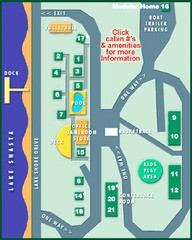
Tsasdi Resort - Shasta Lake Map
Map of the grounds of Tsasdi Resort, lakehead, CA.
134 miles away

Palo Alto Baylands Nature Preserve Map
Map of the Palo Alto Baylands Nature Preserve in Palo Alto, CA. Shows trails, including part of...
134 miles away
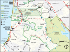
Sweeney Ridge Map
Trail map of Sweeney Ridge, part of the Golden Gate National Recreational Area.
135 miles away
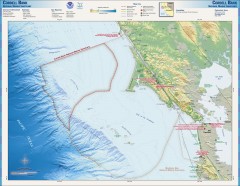
Cordell Bank National Marine Sanctuary Map
Topo and bathymetric map of the Cordell Bank National Marine Sanctuary, located 60 miles northwest...
135 miles away
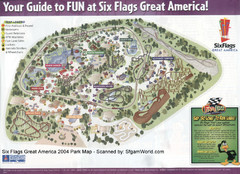
Six Flags Great America Map
135 miles away
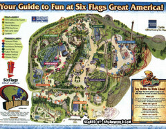
Six Flags Great America Map
135 miles away

Relative Motion of Pacific and North American...
Diagram illustrating the plate-tectonic setting of southern California (image source: USGS general...
135 miles away
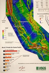
California Faults and Earthquake Probablity...
The Uniform California Earthquake Rupture Forecast map hangs at a press conference where...
136 miles away
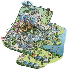
Raging Waters San Jose Map
Simple map of this fun water park for the whole family!
136 miles away
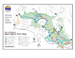
Water Dog Lake Park Trail Map
Trail map of Water Dog Lake Park. Open to mountain biking.
136 miles away

San Mateo County Mid-County Trail Map
Trail map of mid-county trails in San Mateo County, California.
136 miles away
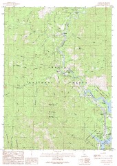
Lamoine Quad - Shasta Lake Map
Topographic map, Lamoine Quadrangle, California 1990. Area of map includes a portion of Shasta Lake...
136 miles away

Mi-Wok OHV Trail Map
Trail Maps for Off Road Bikes in Stanislaus National Forest
136 miles away
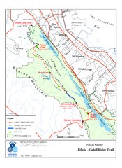
Fifield-Cahill Ridge Trail Map
Trail map of the Fifield-Cahill Ridge Trail in the San Francisco Peninsula Watershed.
137 miles away
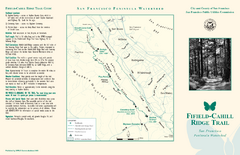
Fifield-Cahill Ridge Trail Map
Trail map and brochure of the Fifield-Cahill Ridge Trail in the San Francisco Peninsula Watershed.
137 miles away
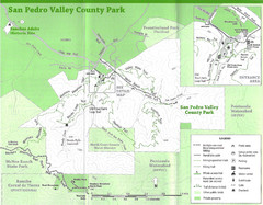
San Pedro Valley County Park Map
Trail map of San Pedro Valley County Park. 1,100 acre park with miles of trails and waterfall...
137 miles away
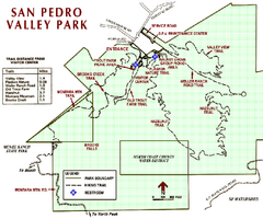
San Pedro Valley Park Map
Park map of San Pedro Valley County Park in San Mateo County, California.
137 miles away
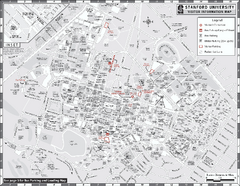
Stanford University Map
Stanford University Campus Map. All buildings shown.
137 miles away
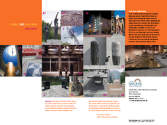
Public Art in Downtown San Jose, California Map
Shows locations of public art in downtown San Jose, California, as well as public transportation...
137 miles away
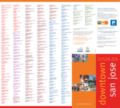
Walking Guide to Downtown San Jose, California Map
Tourist walking map of downtown San Jose, California. Lists and shows locations of dining, art...
137 miles away
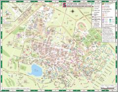
Stanford University Map
A map of the Stanford University campus.
137 miles away
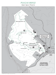
Pulgas Ridge Open Space Preserve Map
Trail map of Pulgas Ridge Open Space Preserve. 366 acres and 6 miles of trails
137 miles away

Motorcycle Parking in Downtown San Jose...
Motorcycle parking map of downtown San Jose, California. Shows locations and inventory of parking...
137 miles away
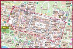
Cardinal Walk Map
Map of Stanford University campus with Cardinal Walk detail
137 miles away
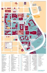
Santa Clara University Campus Map
Campus map of Santa Clara University
137 miles away
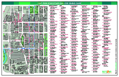
Dining in Downtown San Jose, California Map
Map of dining opportunities in downtown San Jose, California. Shows locations and telephone numbers...
138 miles away
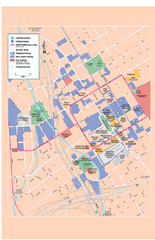
Downtown San Jose, California Map
Tourist map of downtown San Jose, California. Museums, theaters, parks, and other points of...
138 miles away
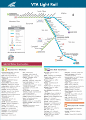
VTA Light Rail Map
138 miles away
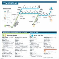
Santa Clara Light Rail Map
138 miles away
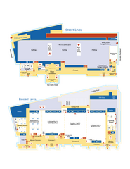
McEnery Convention Center, San Jose, California...
Floorplan map of McEnery Convention Center in San Jose, California.
138 miles away
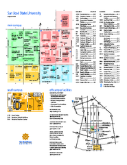
San Jose State University Map
Campus Map of San Jose State University in California. All buildings are shown.
138 miles away
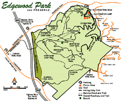
Edgewood County Park Trail Map
Trail map of Edgewood Park and Preserve in Redwood City, California.
138 miles away
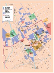
San Jose Downtown map
San Jose sowntown street map showing public transportation and parking.
138 miles away
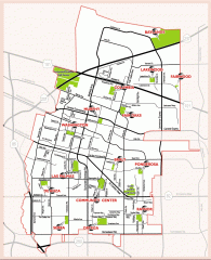
Sunnyvale map 94087 - City Parks
City parks map for Sunnyvale, California 94087. Go to the Sunnyvale Parks and Recreation site to...
138 miles away

