Nevada County Economic Resource Council Activity...
The ERC supports many different businesses in western Nevada County. We provide business assistance...
0 miles away
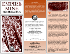
Empire Mine State Historic Park Map
Map of park with detail of trails and recreation zones
1 mile away
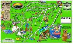
Harmony Ridge Resort Map
7 miles away
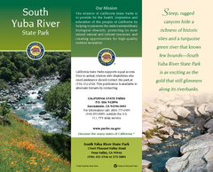
South Yuba River State Park Map
Map of park with detail of trails and recreation zones
8 miles away
Auburn State Recreation Area Map
Map of park with detail of of trails and recreation zones
20 miles away
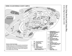
Sierra College Campus Map
Sierra College Campus Map. All buildings shown.
30 miles away
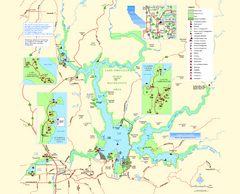
Lake Oroville State Recreation Area Map
Map of recreation area with detail of trails and recreation zones
34 miles away
Lake Oroville State Recreation Area Map
Map of recreation area with detail of trails and recreation zones
34 miles away
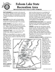
Folsom Lake State Recreation Area Campground Map
Map of park with detail of trails and recreation zones
35 miles away
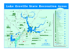
Lake Oroville State Recreation Area Map
Recreation overview map of Lake Oroville State Recreation Area near Oroville, California. Show all...
35 miles away
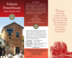
Folsom Powerhouse State Historic Park Map
Map of park with detail of trails and recreation zones
36 miles away
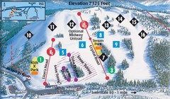
Soda Springs Ski Trail Map
Trail map from Soda Springs, which provides downhill and terrain park skiing. It has 2 lifts...
37 miles away

Granite Chief Wilderness Map
Trail map of Granite Chief Wilderness in Lake Tahoe region. Shows trails (inlcuding Pacific Crest...
39 miles away
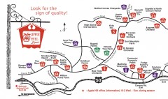
Apple Hill tourist map
Map of Apple Hill growers in Camino, California. Shows vineyards and orchards.
39 miles away
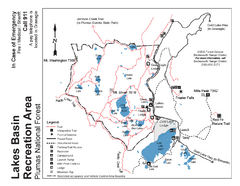
Lakes Basin Recreation Area Trail Map
Trail map of Lakes Basin Recreation Area in Plumas National Forest near Graeagle, California...
39 miles away
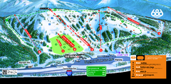
Boreal Mountain Resort Ski Trail Map
Trail map from Boreal Mountain Resort, which provides downhill, night, and terrain park skiing. It...
39 miles away
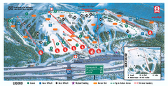
Boreal Ski Trail Map
Official ski trail map of Boreal ski area
39 miles away
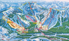
Sugar Bowl Resort Ski Trail Map
Trail map from Sugar Bowl Resort, which provides downhill and terrain park skiing. It has 12 lifts...
40 miles away
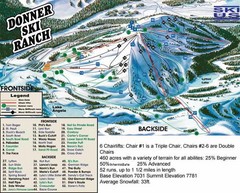
Donner Ski Ranch Ski Trail Map
Trail map from Donner Ski Ranch, which provides downhill and terrain park skiing. It has 6 lifts...
40 miles away
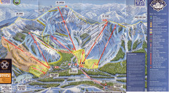
Sugar Bowl Ski Trail Map
Ski trail map of Sugar Bowl ski area from the 2008-09 season. Scanned.
40 miles away
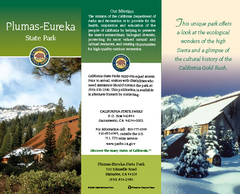
Plumas-Eureka State Park Map
Map of park with detail of trails and recreation zones
42 miles away
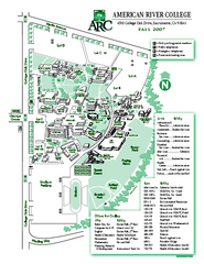
American River College Campus Map
American River College Campus Map. Shows all buildings.
42 miles away
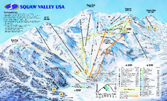
Squaw Valley USA Trail Map
Trail map of Squaw Valley ski area in Lake Tahoe, California
43 miles away
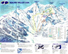
Squaw Valley Ski Trail Map
Scan of ski trail map of Squaw Valley ski area from the 2000-2001 season.
44 miles away

Tahoe Donner Ski Trail Map
Trail map from Tahoe Donner, which provides downhill, night, and nordic skiing. It has 3 lifts...
44 miles away
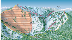
Alpine Meadows Ski Area Backside Ski Trail Map
Trail map from Alpine Meadows Ski Area, which provides downhill and terrain park skiing. It has 13...
45 miles away
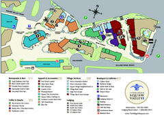
Squaw Valley Base Village Map
Village map of base of Squaw Valley Ski Resort, Lake Tahoe, California. Shows all restaurants...
45 miles away
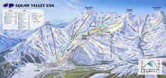
Squaw Valley USA Ski Trail Map
Trail map from Squaw Valley USA, which provides downhill, night, nordic, and terrain park skiing...
45 miles away
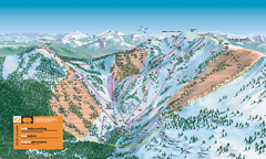
Alpine Meadows Ski Trail Map (Front)
Official ski trail map of Alpine Meadows ski area from the 2005-2006 season.
45 miles away
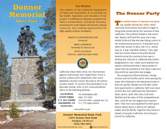
Donner Memorial State Park Map
Map of park with detail of trails and recreation zones
45 miles away
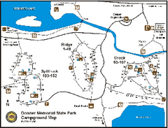
Donner Memorial State Park Campground Map
Map of park with detail of trails and recreation zones
45 miles away
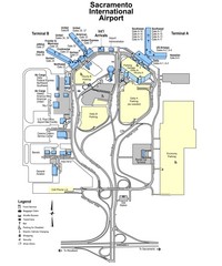
Sacramento International Airport Map
46 miles away
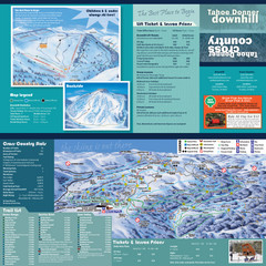
Tahoe Donner Cross Country Ski Trail Map
Ski trail map of Tahoe Donner Association. Shows both downhill and cross-country ski trails...
46 miles away
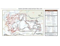
Tahoe Donner Ski Trail Map
Official ski trail map of Tahoe Donner Association. Shows both downhill and cross-country ski...
46 miles away
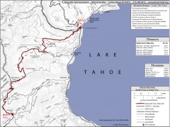
Tahoe Rim Trail: Barker Pass to Tahoe City Map
Topographic hiking map of the Barker Pass-Tahoe City leg of the Tahoe Rim Trail. Shows trailheads...
48 miles away
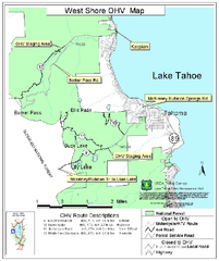
West Shore Lake Tahoe Off-highway Vehicle Map
Off-highway vehicle map of the West Shore of Lake Tahoe. Roads open to motorcycles, ATVs, and 4x4s...
48 miles away
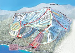
Homewood Ski Trail Map
Official ski trail map of Homewood ski area from the 2007-2008 season.
49 miles away
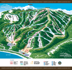
Homewood Mountain Resort Ski Trail Map
Trail map from Homewood Mountain Resort, which provides downhill and terrain park skiing. It has 7...
49 miles away
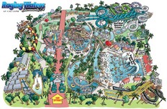
Raging Waters Sacramento Map
Fun and amusing water park for the whole family!
50 miles away


