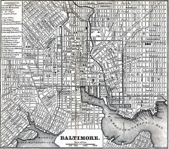
Antique Map of Baltimore from 1869
Antique map of Baltimore Maryland from Appletons' Hand-Book of American Travel. Published in...
136 miles away
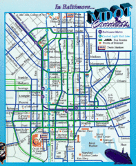
Baltimore, Maryland City Map
136 miles away
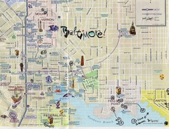
Baltimore Tourist Map
136 miles away
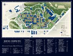
The Johns Hopkins University Map
The Johns Hopkins University Campus Map. All buildings shown.
136 miles away
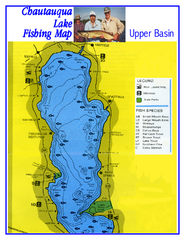
North Chautauqua Lake Fishing Map
Fishing map of northern Chautauqua Lake, New York. Shows marinas, boat ramps, state parks, and...
136 miles away
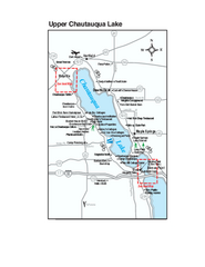
Upper Chautauqua Lake Map
Tourist map of upper Chautauqua Lake, New York. Shops, lodging, and other points of interest in the...
136 miles away
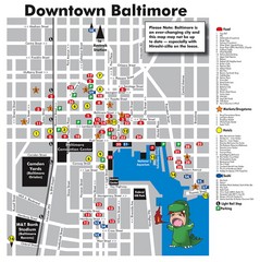
Downtown Baltimore Tourist Map
Map of Food, Hotels and Major Attractions surrouding the Baltimore Convention Center in Baltimore...
136 miles away
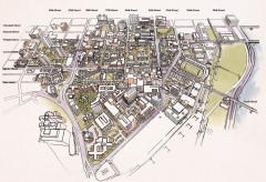
University of Pennsylvania 3D campus map
Aerial perspective of the UPenn campus. Shows street names but not building names. To view...
136 miles away
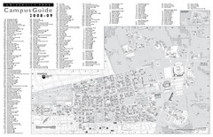
Penn State University Park Campus Map
136 miles away
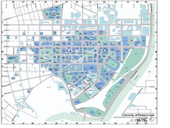
university of pennsylvania Map
136 miles away
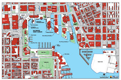
Baltimore Harbor Map
Guide to Baltimore, Maryland harbor
136 miles away
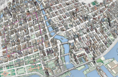
map a
136 miles away
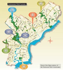
Fairmount Park System Map
136 miles away
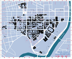
University of Pennsylvania Map
University of Pennsylvania Campus Map. All buildings shown.
137 miles away

Rochester, New York City Map
137 miles away

Downtown Rochester, New York Map
Tourist map of downtown Rochester, New York. Various areas of interest, parking, and streets are...
137 miles away
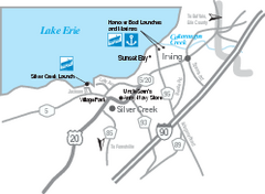
Silver Creek and Irving Map
Tourist map of Silver Creek and Irving, New York. Shows shops, boat ramps, and marinas.
137 miles away
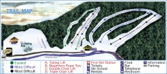
Holiday Mountain Ski Trail Map
Official ski trail map of Holiday Mountain ski area
137 miles away
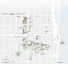
Independence National Historical Park Official Map
Official NPS map of Independence National Historical Park in Pennsylvania. Map shows all areas...
137 miles away
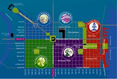
Philadelphia Tourist Map
137 miles away
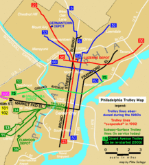
Philadelphia Tourist Map
137 miles away
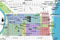
Philadelphia Tourist Map
137 miles away
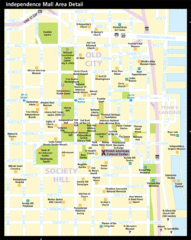
Independence Hall, Philadelphia Tourist Map
137 miles away
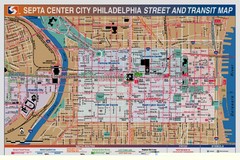
Philadelphia Tourist Map
137 miles away
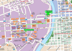
Philadelphia Tourist Map
137 miles away
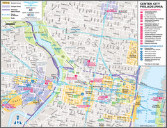
Philadelphia Tourist Map
137 miles away
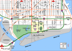
Philadelphia City Map
137 miles away
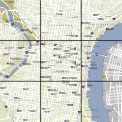
Philadelphia, Pennsylvania City Map
137 miles away
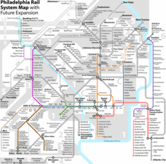
Philadelphia Rail System Map
Philadelphia Rail System Map Version 3.1 with future expansion.
137 miles away
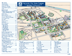
Drexel University Map
Drexel University Campus Map. All buildings shown.
137 miles away
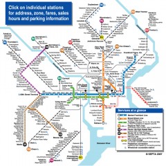
Philadelphia Rail System map
Official SEPTA map of the Philadelphia Rail System. Includes station addresses and fares, sales...
137 miles away

Seven Springs Mountain Resort Ski Trail Map
Trail map from Seven Springs Mountain Resort.
137 miles away
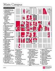
Temple University Map
Campus Map of Temple University. All buildings shown.
138 miles away
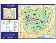
Lums Pond State Park Map
Clear legend and map of this wonderful state park.
138 miles away
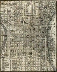
Antique map of Philadelphia from 1842
Antique map of "Philadelphia" from Tanner, H.S. The American Traveller; or Guide Through...
138 miles away
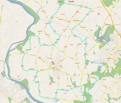
SugarLoaf Mountain Poolsville Loop Map
Area map of the 45 or 60 mile bike ride of Poolsville Loop around Sugarloaf Mountain.
138 miles away
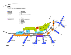
Philadelphia International Airport Terminal Map
Official Map of Philadelphia International Airport. Shows all terminals.
138 miles away
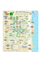
Historic Philadelphia, Pennsylvania Map
Map of historic area in Philadelphia, Pennsylvania, showing churches, museums, and other historical...
138 miles away
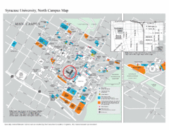
Syracuse University, North Campus Map
Campus map of Syracuse University, North Campus. Maxwell School of Executive Education is...
138 miles away
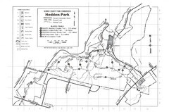
Hedden Park Map
Hedden County Park Trail Map
138 miles away

