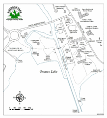
Emerson Park Map
122 miles away
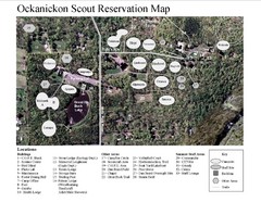
Camp Okanickon Scout Reservation Map
Location Map for Boy Scout Camp in Pennsylvania
122 miles away
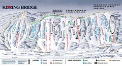
Kissing Bridge Ski Trail Map
Trail map from Kissing Bridge.
123 miles away
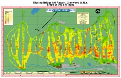
Kissing Bridge Ski Slope Map
Map of Kissing Bridge ski area; shows steepness of slopes with color-coding.
123 miles away
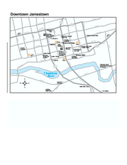
Downtown Jamestown Map
Tourist map of Downtown Jamestown, New York. Shows shops, parking, cinemas, hotels, and government...
123 miles away

Upper Bucks County, Pennsylvania Tourist Map
Cities within the Upper Bucks County in Pennsylvania
123 miles away
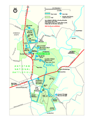
Antietam National Battlefield Official Map
Official NPS map of Antietam National Battlefield in Maryland. Open all year.
123 miles away
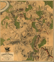
Antietam Battlefield Map
Map of the battlefield of Antietam/Sharpsburg. Shows Union and "Rebel" forces on...
123 miles away
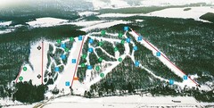
Cockaigne Ski Resort Ski Trail Map
Trail map from Cockaigne Ski Resort.
125 miles away
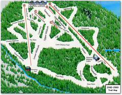
Laurel Mountain Ski Resort Ski Trail Map
Trail map from Laurel Mountain Ski Resort.
126 miles away
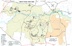
Ridley Creek State Park Map
Detailed recreation map for Ridley Creek State Park in Pennsylvania
126 miles away
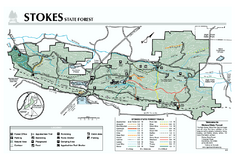
Stokes State Forest map
Trail map of Stokes State Park in New Jersey.
126 miles away

White Clay Creek Preserve map
White Clay Creek Preserve State Park recreation and trail map
126 miles away
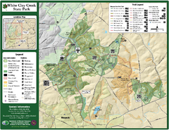
White Clay Creek State Park Map
Clear map and legend of this beautiful state park.
127 miles away

Fort Washington State Park map
Map of Fort Washington State Park in Pennsylvania.
127 miles away
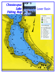
Southern Chautauqua Lake Fishing Map
Fishing map of southern Chautauqua Lake, New York. Shows marinas, boat ramps, state parks and fish...
128 miles away
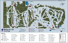
Buffalo Ski Club Trail Map
128 miles away
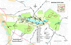
Keystone State Park Map
Detailed recreation map for Keystone State Park in Pennsylvania
128 miles away
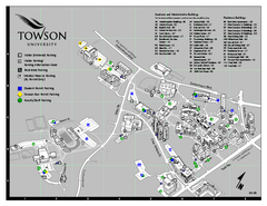
Towson University Map
Towson University Campus Map. All areas shown.
129 miles away
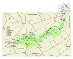
Oil Creek State Park map
Detailed recreation map for Oil Creek State Park in Pennsylvania
129 miles away
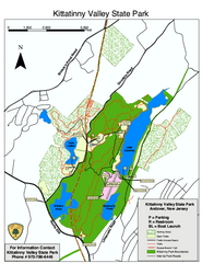
Kittatinny Valley State Park trail map
Trail map of Kittatinny Valley State Park in New Jersey. Shows hunting areas and trails.
129 miles away
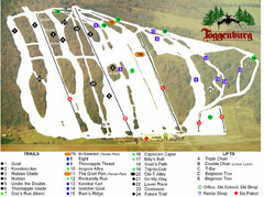
Toggenburg Ski Center Ski Trail Map
Trail map from Toggenburg Ski Center.
129 miles away
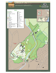
Brandywine Creek State Park Map
Easy to read map and legend of this beautiful state park.
129 miles away

Linn Run State Park map
Detailed map of Linn Run State Park and Laurel Mountain State Park in Pennsylvania
129 miles away
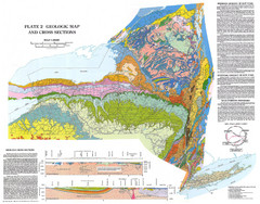
New York State Geologic Map
1:1,000,000 scale geological map of New York State
129 miles away

University of Delaware Map
University of Delaware Campus Map. All buildings shown.
130 miles away
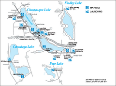
Marinas and Boat Ramps on Chautauqua and...
Recreation map of Chautauqua, Findley, Cassadaga, and Bear Lakes, New York. Shows marinas and boat...
131 miles away
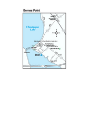
Bemus Point Map
Tourist map of Bemus Point, NY. Shows lodging, parks, shops, restaurants, and other points of...
131 miles away
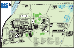
Rochester Institute of Technology Campus Map
Map of RIT campus.
132 miles away
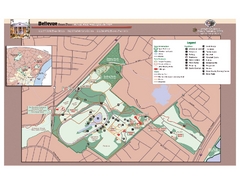
Bellevue State Park Map
Beautiful park with easy to read details.
133 miles away
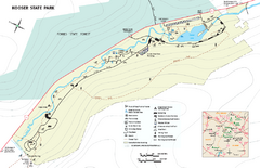
Kooser State Park Map
Detailed recreation map for Kooser State Park in Pennsylvania
133 miles away

St. John Fisher College Map
Campus map
133 miles away
Harpers Ferry National Historical Park Official...
Official NPS map of Harpers Ferry National Historical Park in West Virginia-Maryland. Map shows all...
133 miles away
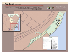
Fox Point State Park Map
Clear and simple state park map.
134 miles away
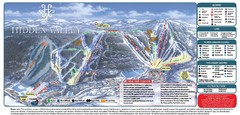
Hidden Valley Ski Trail Map
Trail map from Hidden Valley.
134 miles away

Tyler State Park map
Detailed recreation map for Tyler State Park in Pennsylvania
134 miles away

Brantling Ski Slopes Ski Trail Map
Trail map from Brantling Ski Slopes.
135 miles away
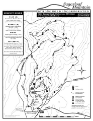
Sugarloaf Mountain Map
135 miles away

Philadelphia Germantown Map
135 miles away
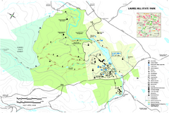
Laurel Hill State Park Map
Detailed recreation map for Laurel Hill State Park in Pennsylvania
135 miles away

