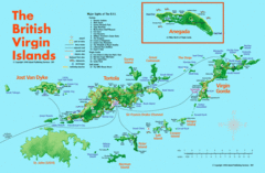
British Virgin Islands Tourist Map
Tourist map of British Virgin Islands with list of major attractions
1795 miles away
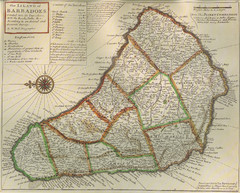
Old-time Map of Barbados
1796 miles away

Barbados Map
1796 miles away
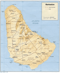
Barbados Tourist Map
1796 miles away
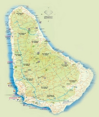
Barbados Tourist Map
Tourist map of Barbados. A bit fuzzy.
1796 miles away
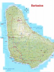
Barbados Road Map
Detailed road map of Barbados. Shows all towns. A scan of lower quality.
1796 miles away
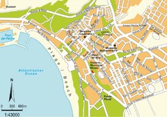
Agadir city Map
1796 miles away

Barbados Map
1797 miles away

Barbados Tourist Map
1798 miles away
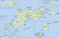
Map of Tortola Island
Tourist map of Tortola, the main island of the British Virgin Islands. Shows national parks and...
1798 miles away
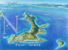
Peter Island BVI Map
1798 miles away
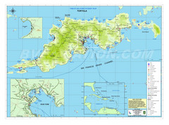
Tortola British Islands Tourist Map
Places of interest.
1798 miles away
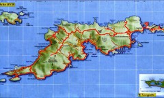
Tortola Island Map
1798 miles away
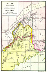
Maine Boundary Controversy 1782-1842 Map
Here you can all the British and American claims and proposals to settle the Maine boundary with...
1799 miles away
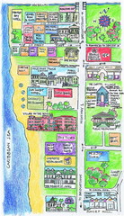
Holetown Tourist Map
Tourist map of town of Holetown
1800 miles away
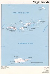
Map of the Virgin Islands
Map of the Virgin Islands
1801 miles away
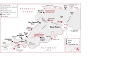
West Tortola Driving Tour Map
1801 miles away
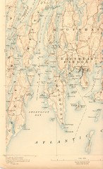
Boothbay Island Map
Topographical map of Boothbay Island and surrounding areas
1802 miles away
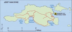
Jost Van Dyke map
Map of Jost Van Dyke island of the British Virgin Islands in the Caribbean.
1803 miles away

St. Lawrence Tourist Map
Tourist map of town of St. Lawrence, Barbados
1804 miles away

Bridgetown Tourist Map
Tourist map of central Bridgetown, Barbados. Shows shops and businesses.
1804 miles away
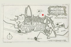
Bridgetown 1776 Map
1804 miles away
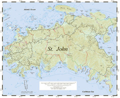
St. John Trail Map
Topographical trail map of St. John in the US Virgin Islands.
1807 miles away
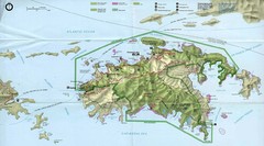
Virgin Islands National Park Tourist Map
1807 miles away
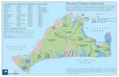
Martha's Vineyard Watershed Map
1808 miles away
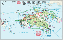
Virgin Islands National Park Map
Official NPS map of Virgin Islands National Park in the Virgin Islands. Map shows main island and...
1808 miles away
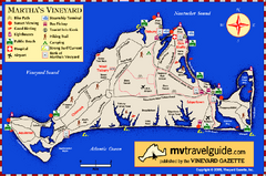
Martha's Vineyard Island Map
Tourist map of island of Martha's Vineyard, Massachusetts.
1809 miles away
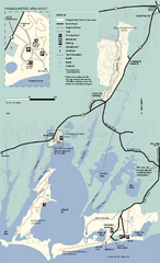
Waquoit Bay National Estuarine Research Preserve...
Trail map of Waquoit Bay National Estuarine Research Preserve in Massachusetts.
1809 miles away
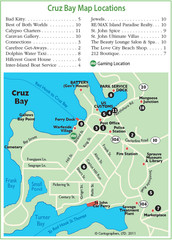
Cruz Bay St. John Map
1810 miles away
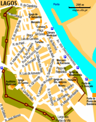
Lagos City Map
Clear road map of this beautiful city.
1811 miles away
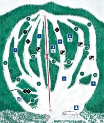
CPA Haute Gaspesie Ski Trail Map
Trail map from CPA Haute Gaspesie, which provides downhill skiing. This ski area has its own...
1811 miles away
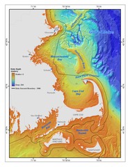
Massachusetts Bay sea floor Map
1812 miles away
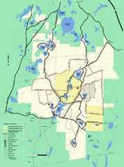
Myles Standish State Forest Winter trail map
Myles Standish State Forest winter use trail map.
1815 miles away
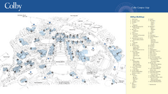
Colby College Campus Map
Official map of the Colby College campus. Colby's campus, on 714 acres overlooking the city of...
1816 miles away
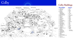
Colby College Campus Map
Official map of the Colby College campus. Colby's campus, on 714 acres overlooking the city...
1816 miles away
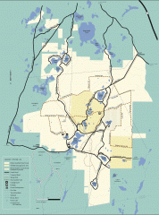
Myles Standish State Forest winter trail map
Winter activity map of all the trails and roads in Myles Standish State Park, MA. Cross country...
1816 miles away
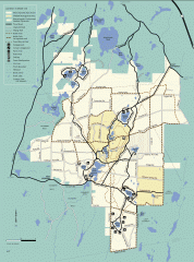
Myles Standish State Forest summer trail map
Map of all the trails and roads in Myles Standish State Park, MA. 15 miles of bicycle trails, 35...
1816 miles away
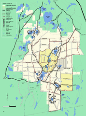
Myles Standish State Forest trail map
Summer trail map for Myles Standish State Forest.
1816 miles away


