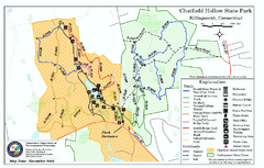
Chatfield Hollow State Park map
Trail map of Chatfield Hollow State Park
1907 miles away
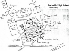
Rockville High School Map
Hand-drawn map of Rockville High School includes all buildings, Parking Lots, and sports fields.
1907 miles away

Camp Morgan Trail Map
1907 miles away
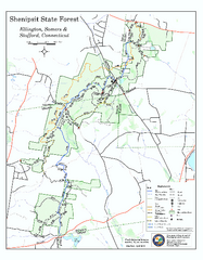
Trail map of Shenipsit State Forest
Trail map of Shenipsit State Forest in Connecticut.
1908 miles away
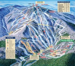
Mt. Sunapee Ski Trail Map
Official ski trail map of Mt. Sunapee ski area from the 2007-2008 season.
1908 miles away
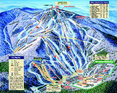
Mount Sunapee Ski Area Ski Trail Map
Trail map from Mount Sunapee Ski Area.
1908 miles away
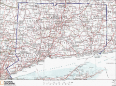
Connecticut State Parks Map
This is statewide map for Connecticut state parks. Go to the source website for detailed hiking...
1909 miles away
Appalachian National Scenic Trail Map
Scenic trail Maine to Georgia
1910 miles away
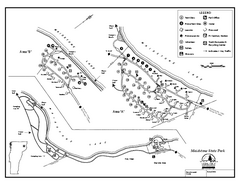
Maidstone State Park Campground Map
Campground map of Maidstone Lake State Park in Campground
1910 miles away
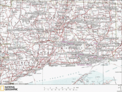
Connecticut Canoeing and Kayaking Lakes Map
A map of the lakes and ponds that are open for canoeing and kayaking in Connecticut. For detailed...
1910 miles away
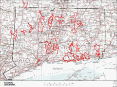
Connecticut Road Cycling Routes Map
A map of road cycling routes throughout Connecticut. Follow the link below for detailed route maps...
1910 miles away

Puerto Rico Tourist Map
Tourist map for Puerto Rico showing major roads, cities and the airport.
1911 miles away
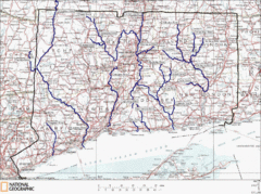
Connecticut Rivers and Coastal Paddling Map
This is a map of paddling areas for rivers and coastal kayaking. Follow the link below for...
1911 miles away
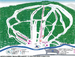
Granite Gorge Ski Trail Map
Trail map from Granite Gorge. This ski area opened in 2005.
1911 miles away
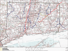
Connecticut Long Distance Trails Map
A map of long distance trails throughout Connecticut. Go to the website below for detailed trail...
1911 miles away

Guilford Bus Services Map
1911 miles away
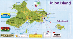
Union island tourist Map
1911 miles away
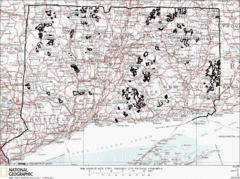
Connecticut State Forests Map
This is a map of all of the state forest boundaries in Connecticut. Follow the source web address...
1911 miles away
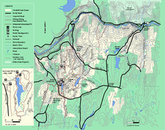
Wendell State Forest trail map
Trail map of Wendell State Forest in Massachusetts.
1911 miles away
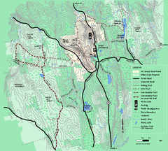
Mt. Grace State Forest trail map
Trail map of Mt. Grace State Forest near Warwick, Massachusetts.
1911 miles away
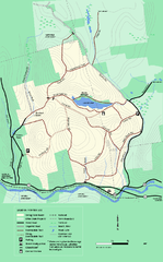
Erving State Park winter use map
Winter use map of the Erving State Park in Massachusetts
1912 miles away
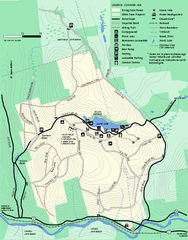
Erving Summer trail map
Summer use map of Erving State Park in Massachusetts.
1912 miles away
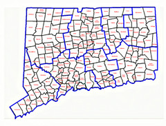
Connecticut Town Map
1913 miles away
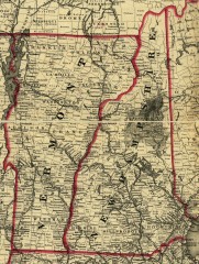
Map of New Hampshire and Vermont 1860
Map of New Hampshire and Vermont, 1860
1913 miles away
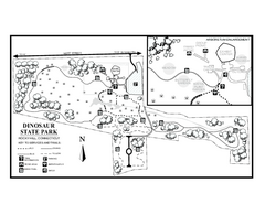
Dinosaur State Park map
Trail map of Dinosaur State Park in Connecticut.
1914 miles away
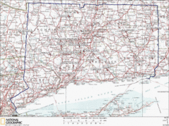
Connecticut Rock Climbing Locations Map
A map of most of the important rock climbing and bouldering areas in Connecticut. Click the link...
1914 miles away
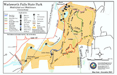
Wadsworth Falls State Park map
Trail map of Wadsworth Falls State Park in Connecticut.
1914 miles away
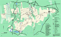
Mount Holyoke Range State Park Map
Trail map of Holyoke Range State Park.
1914 miles away
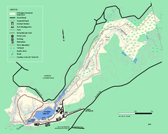
Chicopee State Park trail map
Chicopee State Park trail map
1914 miles away
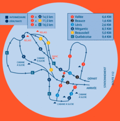
Club de ski de Beauce Nordic Ski Trail Map
Trail map from Club de ski de Beauce, which provides downhill and nordic skiing. This ski area has...
1915 miles away
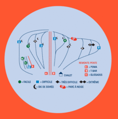
Club de ski de Beauce Ski Trail Map
Trail map from Club de ski de Beauce, which provides downhill and nordic skiing. This ski area has...
1915 miles away
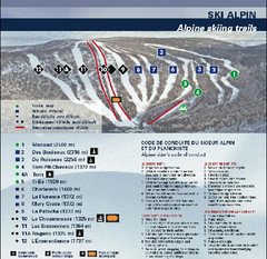
Mont Grand Fonds Ski Trail Map
Trail map from Mont Grand Fonds, which provides downhill and nordic skiing. This ski area has its...
1915 miles away
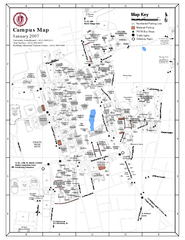
University of Massachusetts - Amherst Map
Campus Map of the University of Massachusetts - Amherst. All buildings shown.
1916 miles away
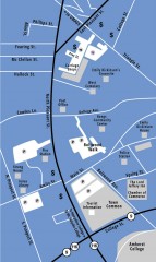
Downtown Amherst, Massachusetts Map
Tourist map of downtown Amherst, Massachusetts, showing attractions, government buildings, atms...
1916 miles away

Wadsworth Athenium Museum Location Map
Wadsworth Athenium visitor location map with locations of major buildings, streets, parks, and...
1916 miles away
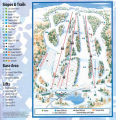
Powder Ridge Ski Area Ski Trail Map
Trail map from Powder Ridge Ski Area.
1916 miles away
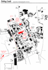
University of Massachusetts Amherst Parking Map
Map of the University of Massachusetts. Includes all buildings, streets, and parking information.
1916 miles away
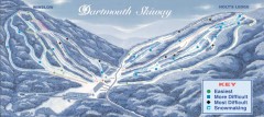
Dartmouth Skiway Trail Map
Official ski trail map of the Dartmouth Skiway. The Skiway is owned by Dartmouth College. Over...
1917 miles away
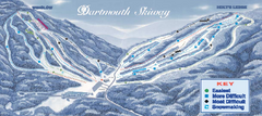
Dartmouth Skiway Ski Trail Map
Trail map from Dartmouth Skiway.
1917 miles away

Mauritania topography Map
1917 miles away

