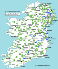
Road Map of Ireland
Road map of Ireland showing all motorways and major roads.
232 miles away
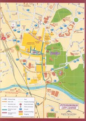
Peterborough City Center Map
City map of central Peterborough, England
233 miles away
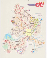
Peterborough Stage Coach Citi Bus Map
234 miles away
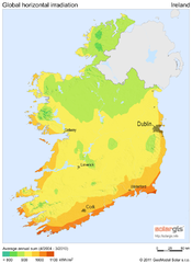
Solar Radiation Map of Ireland
Solar Radiation Map Based on high resolution Solar Radiation Database: SolarGIS. On the Solar Map...
236 miles away
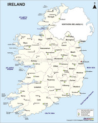
Ireland Political Map
236 miles away
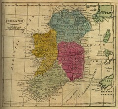
1808 Ireland Historical Map
236 miles away
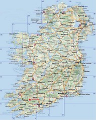
Ireland Tourist Map
236 miles away
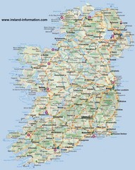
Ireland Travel Map
Map of Ireland detailing cities, major roads and airports.
236 miles away
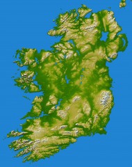
Ireland Topo Map
Shading and color-coding of topographic height.
236 miles away
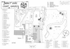
Abbey Dore Court Garden Map
237 miles away
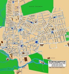
Northampton Town Map
Street map of Northampton from the late Victorian period
241 miles away
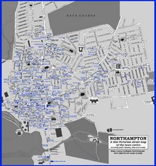
Northampton Town Map
Map of Northampton from the late Victorian period with public houses, inns, hotels, and pubs all...
241 miles away
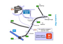
Central Northampton, England Tourist Map
Central Northampton in England
241 miles away
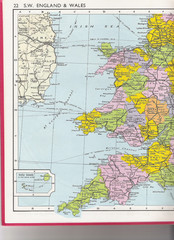
Wales Political Map
Map of Wales and southwest England
244 miles away
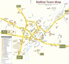
Ballina Town Map
244 miles away
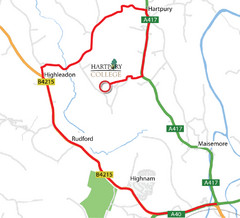
Hartpury College Directions Map
Map of location of Hartpury College campus and surrounding roads.
245 miles away
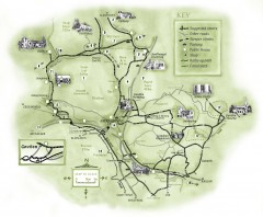
Abergavenny Cycle Map
Shows suggested easy cycling routes, other roads, steeper climbs, parking, public houses, shops...
246 miles away
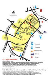
Gloucester City Park Map
248 miles away
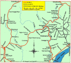
Monmouth and Wye Valley Railways Map
Map showing the 3 major railway lines and the cities with stops of Monmouth, UK.
253 miles away
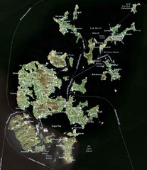
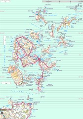
Orkney Islands Map
Guide to the Orkney Islands, northern most islands of the United Kingdom
254 miles away
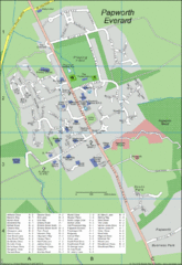
Papworth Everard Tourist Map
255 miles away
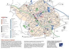
Milton Keynes Region Tourist Map
Tourist map of region around Milton Keynes, UK. Shows railway stations, out of town shopping, and...
257 miles away

Cawston, Norfolk Guide Map
259 miles away
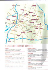
Cotswold England Tourist Map
The Cotswolds are situated in the Heart of England less than 2 Hours Drive from London. Map shows...
261 miles away
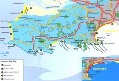
Swansea Area Tourist Map
261 miles away
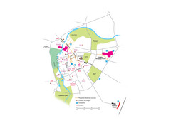
Cambridge City Centre Map
Locations and areas in Cambridge, England
263 miles away
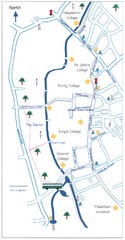
Cambridge Walking Map
Hand drawn tourist walking map of Cambridge, UK
263 miles away
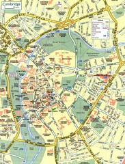
Cambridge Street Map
Street map of central Cambridge, England. Shows University of Cambridge.
263 miles away
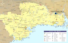
Waterford Tourist Map
This map and key allow you to find a high number of activities and points of interest in this fun...
263 miles away
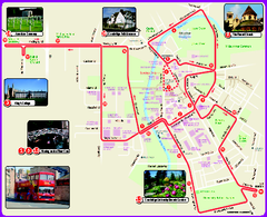
Cambridge Bus Tour Map
Cambridge Bus Tour Map - City Sightseeing
264 miles away
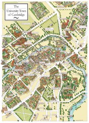
Cambridge England Map
Map of Cambridge, showing all the Colleges
264 miles away
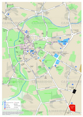
Cambridge Area Map
City map of Cambridge, England. Shows public facilities.
264 miles away
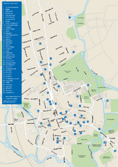
University of Oxford Campus Map
campus map
266 miles away
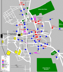
Oxford City Map
Oxford University and surrounding city
266 miles away
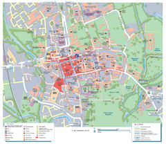
Oxford City Map
Tourist street map of Oxford
266 miles away
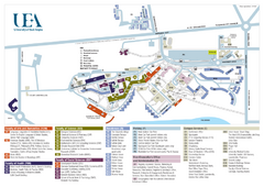
U. of East Anglia Map
269 miles away
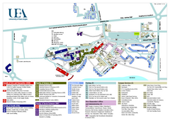
University of East Anglia Map
269 miles away
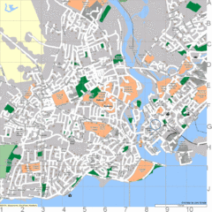
Galway, Ireland Tourist Map
269 miles away
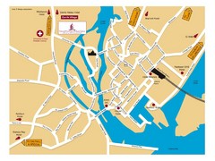
Galway, Ireland Tourist Map
269 miles away

