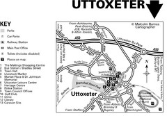
Uttoxeter Town Centre Map
183 miles away
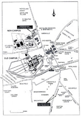
Maynooth Housing and Accommodation Map
Shows housing estates and accommodations in Maynooth, Ireland, home of the National University of...
188 miles away
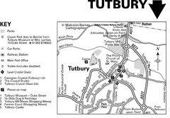
Tutbury Town Centre Map
188 miles away
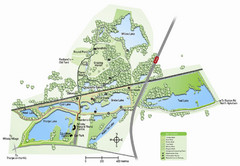
Whisby Nature Park Map
Shows park as of January 2009.
189 miles away
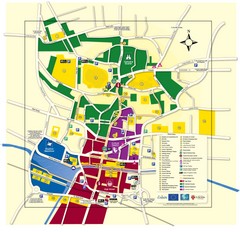
Lincoln Tourist Map
Tourist map of Lincoln, England. Shows points of interest.
189 miles away
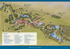
Weston Park Estate Map
191 miles away
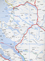
Elphin Map
193 miles away
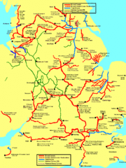
UK Broad Beam Canal Map
Guide to UK waterways that accommodate a barge
197 miles away
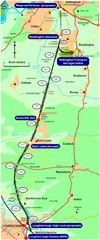
Nottingham Transport Map
A map showing train stations in Loughborough to Nottingham. Includes surrounding roads, towns...
198 miles away
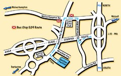
Bentley Map
Location map for Bentley. Includes roads, bus stops, and directions to Bentley Pavilion.
201 miles away

Woodhall Spa Map
Street map of Woodhall Spa
202 miles away

Owenea Fishery Map
Road Map of Owenea Fishery. Shows the location of the Owenea Fishery including all roads, towns...
202 miles away
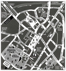
Loughborough Town Centre Map
202 miles away
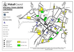
Downtown Walsall Parking Map
202 miles away
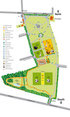
Palfrey Park Map
Detail map of Palfrey Park
203 miles away

Main Historic Sites in Wales Map
Welsh Historic Monuments map (CADW) showing roads, cities and the main castles and abbeys in Wales.
205 miles away
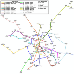
Birmingham Transit Map
Guide to bus lines in Birmingham, UK
208 miles away
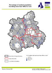
West Midlands Travel Time Statistics Map
Percentage of residents who travel to work in West Midlands, England
209 miles away
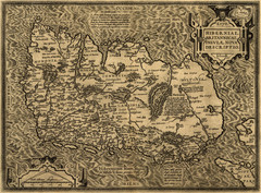
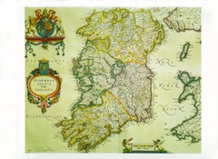
Ortelius’ Map of Ireland (1598)
Abraham Ortelius' map of Ireland in 1598.
209 miles away

Birmingham City Map
Street map of Birmingham, England. Shows buildings, hospitals, parking, and schools.
210 miles away
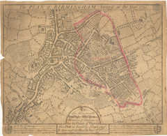
1731 Birmingham Map
Guide to historic Birmingham, UK
210 miles away
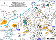
Central Birmingham Map
210 miles away
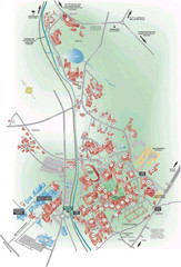
University of Birmingham Map
Guide to Birmingham University and surrounds
211 miles away
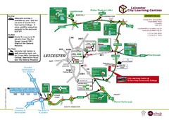
Leicester City Learning Centres Map
212 miles away
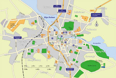
Sligo City Map
Map of Sligo with tourist information
215 miles away
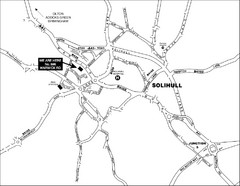
Solihull Town Map
216 miles away
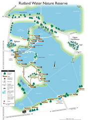
Map of Rudlin Nature Reserve
Full-color map of Rudlin Water Nature Reserve that includes the locations off all Footpaths...
219 miles away
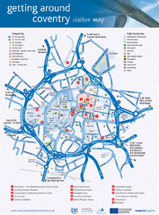
Coventry Tourist Map
Tourist map of central Coventry, England. Shows points of interest.
220 miles away
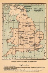
England War of the Roses Map
Guide to battle sites, encampments and treaties of the War of the Roses in England
221 miles away
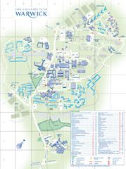
University of Warwick Campus Map
Near Coventry, West Midlands
222 miles away
Delaine Bus Route Map
Map of bus routes throughout from Borne to Peterborough
226 miles away
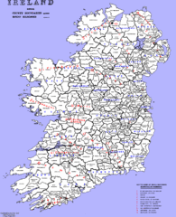
Ireland County/ Barony Map
Barony and County Map of Ireland
228 miles away
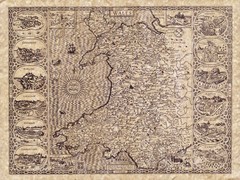
Old Maps - Wales Map
Includes illustrations of individual Welsh county towns.
228 miles away
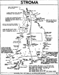
Stroma Tourist Map
229 miles away
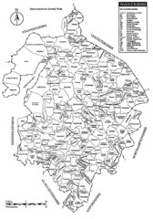
Warwichshire, England Region Map
230 miles away
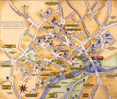
Stratford-upon-Avon Tourist Map
Tourist map of Stratford-upon-Avon, UK. Shows points of interest.
231 miles away
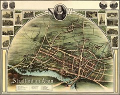
1902 Stratford-upon-Avon Map
Map of William Shakespeare's birthplace
232 miles away
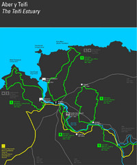
Cardigan Walks Map
Trail map of 6 circular walks in the Cardigan area ranging between four and a half and six and a...
232 miles away

