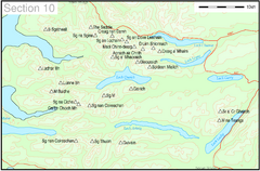
Munro Colour Contour Map Sec10
The list of hills and the grid references are from Wikipedia. The coastline is derived from data...
137 miles away
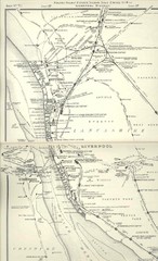
Liverpool Railway Map
Guide to historic rail lines around Liverpool
137 miles away
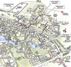
University of York Campus Map
Relevant landmarks and main roads and buildings
137 miles away
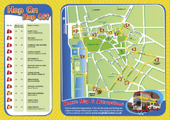
Liverpool Bus Tour Map
137 miles away
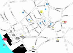
Merseytravel Headquarters Location Map
137 miles away
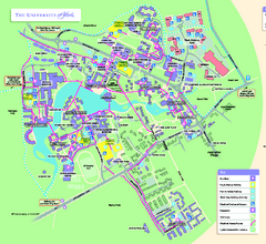
University of York Map - Heslington Campus
Campus map of the University of York Heslington Campus near York, England.
138 miles away
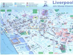
John Moores University Map
Campus map of John Moores University, Liverpool, UK
138 miles away
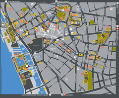
Liverpool Tourist Map
Tourist map of central Liverpool, England, UK. Shows points of interest.
138 miles away
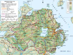
Northern Ireland General Map
Guide to Northern Ireland, major cities, topography and roads
138 miles away
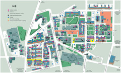
University of Liverpool Map
Campus Map
138 miles away
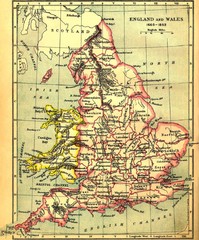
1660-1892 England and Wales Map
Guide to England and Wales from 1660-1892, showing topographic information
138 miles away
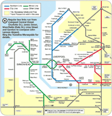
Liverpool Subway Map
Guide to Liverpool Merseyrail lines and stations
138 miles away
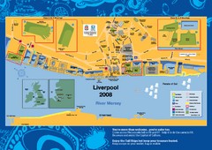
The Tall Ships Race in Liverpool Map
139 miles away
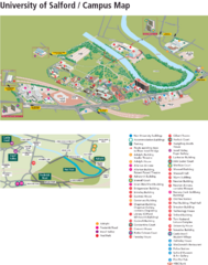
University of Salford Map
139 miles away
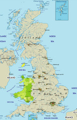
Wales Map
Guide to Wales and major cities in the United Kingdom
139 miles away
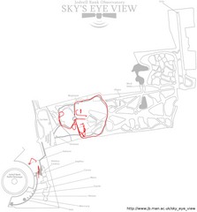
Jodrell Bank Observatory Map
Map of the Jodrell Bank Observatory. Shows location of parking lot, layout of the observatory...
140 miles away
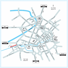
Manchester Overview Map
140 miles away
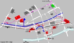
Manchester Map
140 miles away
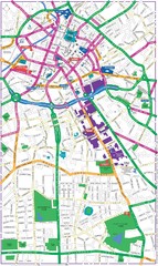
Manchester Map
140 miles away
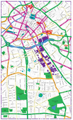
Manchester Tourist Map
Tourist map of Manchester, UK. Shows points of interest.
140 miles away
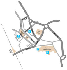
Wakefield Center Street Map
Crude street map of center of Wakefield, UK.
141 miles away
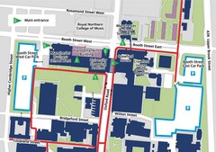
Manchester Business School Map
Map of Machester Business School at University of Manchester
141 miles away
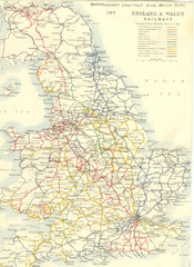
1887 - Prinicipal Railways in England and Wales...
Railways in England and Wales in 1887
141 miles away
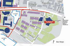
University of Manchester Map
Map of the University of Manchester with the Whitworth Art Gallery highlighted.
141 miles away
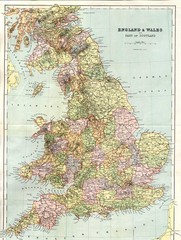
England and Wales Map
Guide to England, Wales and part of Scotland, showing counties
143 miles away
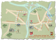
Wythenshawe Heritage Trail map
Northenden Circular Walk trail at Wythenshawe Park.
144 miles away
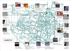
Huntly Town Collection Map
Visual public art in Huntly, Scotland. With photos. From site: "Artists working with Deveron...
145 miles away
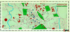
Armagh Ireland Street Map
Street Map of Armagh City, Ireland showing tourist information center, streets, churches and...
147 miles away
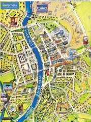
Inverness City Map
Pictorial map of Inverness
148 miles away
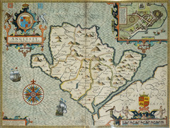
Anglesey Map
150 miles away
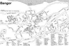
Bangor University Map
Map with numbered index to buildings on the campus of Bangor University in the United Kingdom.
151 miles away
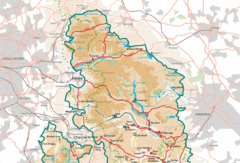
Peak District National Park Map
National Park map.
154 miles away
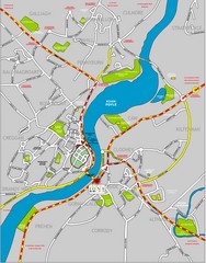
Londonderry Map
155 miles away
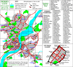
Derry/Londonderry Map
156 miles away
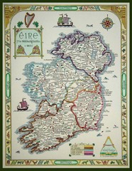
Hand-Drawn Ireland Map
Guide to Ireland and Northern Ireland, in Gaelic
157 miles away
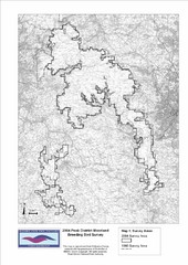
Bird Survey Map
Map of survey areas in the Peak District Moorland. Shows survey areas of 1990 and 2004.
157 miles away
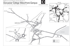
Doncaster College Waterfront Campus Map
B&W Printable version of the Doncaster College Waterfront Campus showing parking and vehicular...
158 miles away
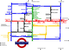
Doncaster Pup Guide Map
158 miles away
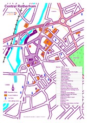
Central Rotherham Map
159 miles away
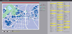
University of Sheffield Map
Campus map
159 miles away

