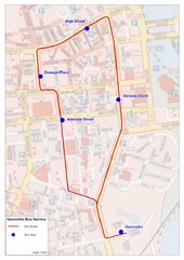
Gasworks/Belfast city centre shuttle Bus Map
Shuttle Bus service map between the Gasworks Estate and Belfast city centre.
113 miles away
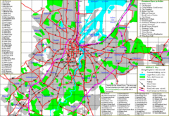
Belfast Map
113 miles away
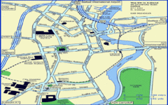
Belfast City Map
City map of Belfast with tourist information
113 miles away
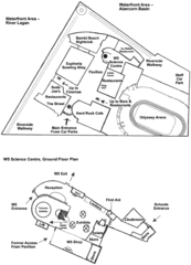
Odyssey Complex Public Service Attraction Visitor...
Odyssey complex site map, displaying the locations of all attractions, restaurants, stores...
113 miles away
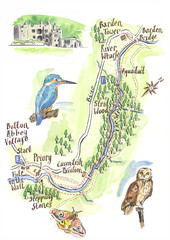
A walk around Bolton Abbey Yorkshire Map
A walk around Bolton Abbey in Yorkshire, Uk. Produced for Dales Life Magazine.
113 miles away
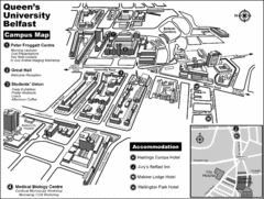
Queen's University Belfast Campus Map
Campus map of Queen's University Belfast in Belfast, Northern Ireland
113 miles away
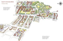
Queen's University Belfast Map
Guide to campus and botanical gardens
113 miles away
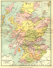
Scotland Counties Map
Map of Scotland and its counties
114 miles away
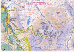
Ben Nevis Trail map
Map of the mountain track to the summit of Ben Nevis, the highest mountain in Scotland and the...
115 miles away
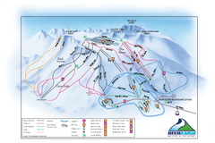
Nevis Range Ski Trail Map
Trail map from Nevis Range.
116 miles away
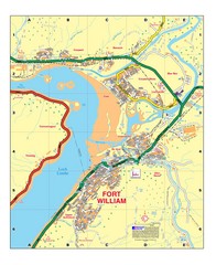
Fort William, Scotland Map
Map shows Fort William including all streets, train tracks, rivers, and streams.
119 miles away
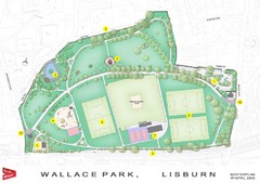
Wallace Park Map
119 miles away
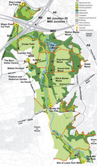
Cuerden Valley Park Map
120 miles away
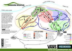
Cairn Gorm Ski Trail Map
Trail map from Cairn Gorm.
120 miles away
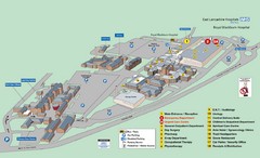
Royal Blackburn Hospital Map
Maps of Royal Blackburn
120 miles away
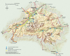
Cairngorms National Park Map
This map shows the boundaries of the Cairngorms National Park, which stretch from Grantown on Spey...
121 miles away
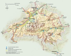
Cairngorms National Park Map
Official map of Cairngorms National Park, Britain's largest National Park at 3800 sq km. 4 of...
122 miles away
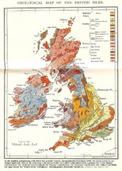
British Isles Geological Map
Old British Isles geological map
122 miles away
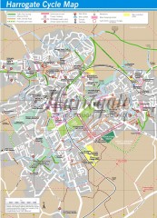
Harrogate Cycling Map
Shows traffic free cycling routes, advisory routes, traffic calmed roads, cycle lanes, bike shops...
122 miles away
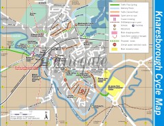
Knaresborough Cycling Map
Shows traffic free cycling routes, advisory routes, traffic calmed roads, cycle lanes, bike shops...
123 miles away
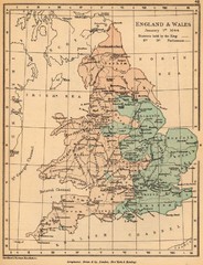
1644 England and Wales Political Map
Map showing districts held by teh King versus the Parliament during the Puritan Revolution
123 miles away

Isle of Bute Guide Map
124 miles away

Rossendale Hospital Map
Campus map of hospital
125 miles away
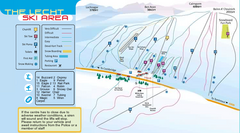
The Lecht Ski Trail Map
Trail map from The Lecht.
125 miles away
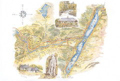
Invergarry Tourist Map
Tourist map of Invergarry, Scotland
128 miles away
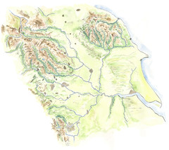
Yorkshire topography Map
129 miles away
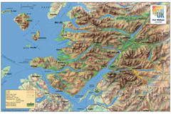
Fort William Area Shaded Relief Map
Shaded relief map of the Fort William, Lochaber, Scotland area. Shows roads, peaks, and vegetation...
131 miles away
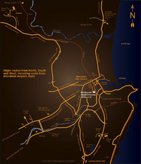
Aberdeen City Map
City map of Aberdeen with accommodations
132 miles away

Schematic UK Postcode Map
Shows all postcode areas in the United Kingdom in shape of UK with London extracted.
133 miles away
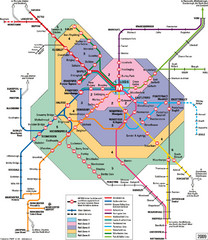
Leeds Metro Train Diagram Map
Metro system map for Leeds, England and surrounding cities.
133 miles away
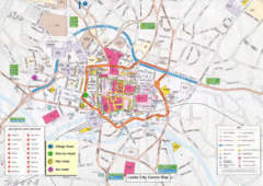
Leeds Tourist Map
Tourist map of city center of Leeds, UK
133 miles away
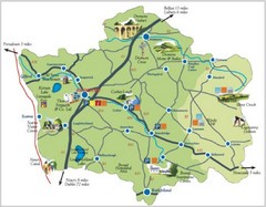
Banbridge District Tourism Map
Shows the locations of the main visitor attractions in the Banbridge District of Northern Ireland...
133 miles away
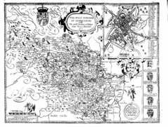
1610 Yorkshire County Historical Map
A 1610 map of Yorkshire Country in the United Kingdom
134 miles away
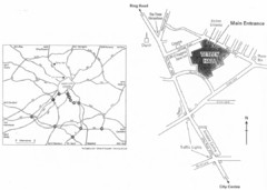
University of Leeds Campus Map
Various buildings on the University of Leeds campus
134 miles away
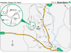
Aberdeen Airport Map
135 miles away
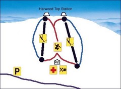
Harwood Sketch Ski Trail Map
Trail map from Harwood.
135 miles away
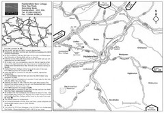
Huddersfield New College Location Map
135 miles away
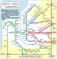
Merseyside Tube Map
136 miles away
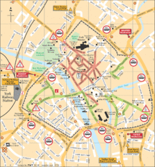
York Tourist Map
136 miles away
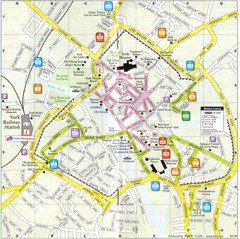
York England Tourist Map
Tourist map of York England showing roads, tourist sites ad railways.
136 miles away

