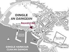
Dingle Town Map
Simple tourist map for Dingle Town, Ireland showing streets and places of interest.
358 miles away
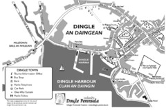
Dingle Town Map
358 miles away

St Ives Cornwall Tourist Map
A large, detailed map of St. Ives. Marked with street names and many of the basic services such as...
367 miles away
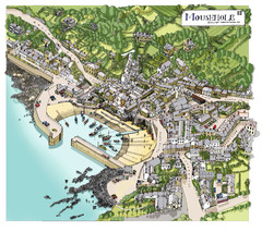
Mousehole map
Map of Mousehole. Aerial map of Mousehole, Cornwall.
377 miles away
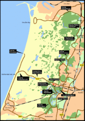
Nationaal Park Zuid-Kennemerland Map
Park overview map of Zuid-Kennemerland National Park (NPZK), Netherlands
384 miles away

Europe Political Map
385 miles away
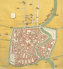
Haarlem City Map
Haarlem city center map from 1550
389 miles away
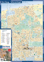
The Hague Tourist Map
Tourist map of The Hague, Netherlands. Shows points of interest.
389 miles away
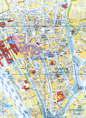
Utrecht, Netherlands Tourist Map
390 miles away
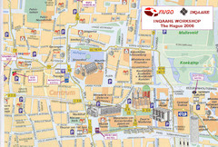
Den Haag, Netherlands Tourist Map
390 miles away
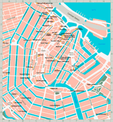
Den Haag, Netherlands Tourist Map
390 miles away
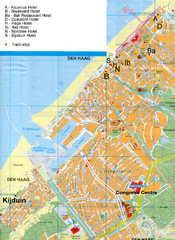
The Hague Hotel Map
Hotel map of The Hague, Netherlands. Shows tram stops. Congress centre highlighted.
390 miles away
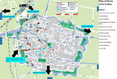
Leiden Tourist Map
Tourist map of downtown Leiden, The Netherlands. Shows some hotels and other points of interest.
393 miles away
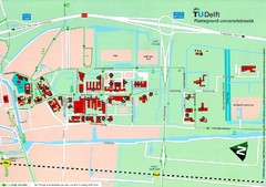
Delft University of Technology Map
395 miles away
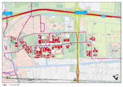
Delft University of Technology Campus Map
396 miles away
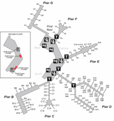
Amsterdam Airport Schipol Map
396 miles away
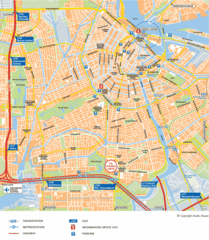
Amsterdam Tourist Map
398 miles away
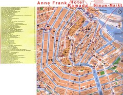
Amsterdam Tourist Map
398 miles away
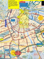
Amsterdam Hotel Map
398 miles away
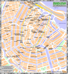
Amsterdam Coffee Shops Map
398 miles away
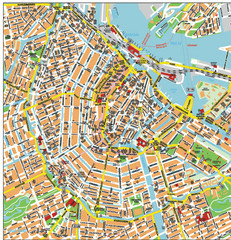
Amsterdam City Tourist Map
398 miles away
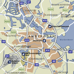
Amsterdam Airport Tourist Map
398 miles away
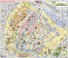
Amsterdam City Tourist Map
398 miles away
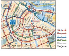
Amsterdam Transit Map
398 miles away
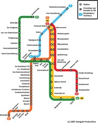
Amsterdam Metro Map
398 miles away
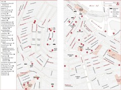
Amsterdam Tourist Map
Main attractions for sightseers in Amsterdam
398 miles away
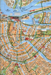
Amsterdam Center Map
398 miles away
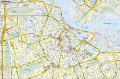
Amsterdam Map
Street map of Amsterdam, Netherlands.
398 miles away
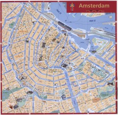
Amsterdam Tourist map
Shows major tourist points of interest. Scanned.
398 miles away
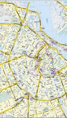
Amsterdam Central City Map
City map of Amsterdam Central
398 miles away
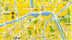
North Bruges Map
Map of northern part of Bruges city
398 miles away
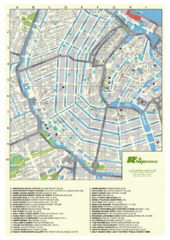
Amsterdam Map
Guide to cannabis cafes in Amsterdam
398 miles away
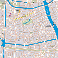
De Pijp Neighborhood Map
De Pijp neighborhood in Amsterdam map
398 miles away
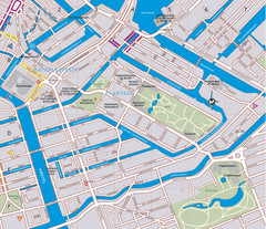
Waterlooplein, Plantage and Oosterpark Tourist Map
Waterlooplein, Plantage and Oosterpark neighborhoods in Amsterdam
398 miles away
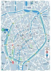
Brugge Tourist Map
Tourist map of Brugges, Belgium. Shows buildings and streets.
398 miles away
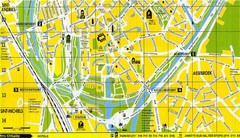
South Bruges Map
Map of the southern part of Bruges city
399 miles away
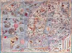
"Carta Marina" Scandinavian Marine Map
An ornate map of sea monsters, sinking ships, snakes, wolves and Scandinavia
402 miles away

14th Century Northern Europe Map
403 miles away
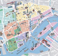
Rotterdam Tourist Map
Tourist map of Rotterdam, Netherlands. Largest port in Europe.
403 miles away
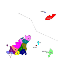
Guernsey Parish Map
Guide to the parishes of Guernsey, a British Crown Dependency in the English Channel
406 miles away

