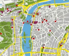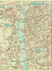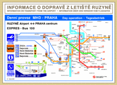
Prague Airport to Metro Map
126 miles away
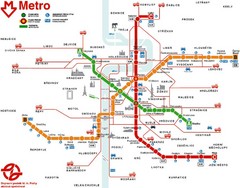
Prague Metro Map
126 miles away
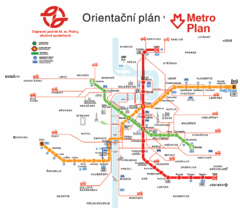
Prague Metro Map
126 miles away
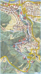
Transportation near Prague Map
Locations and destinations of transportation in and near Prague
126 miles away
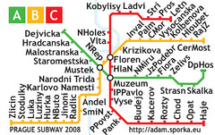
Prague Metro Map 2008 (for small displays)
Small version of Prague metro map of mobile phones, etc.
126 miles away
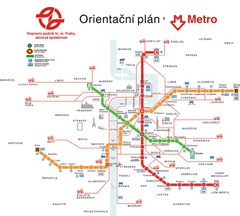
Prague Public Transport Map
Public transportation in Prague
126 miles away
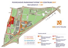
BB Centrum Map (Czech)
BB Centrum is one of the largest and most successful developments in the Czech Republic. This new...
126 miles away
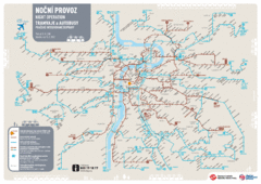
Tram Night Operation Map
126 miles away
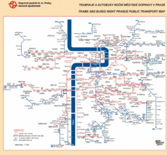
Prague Night Public Bus Tram Map
126 miles away
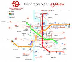
Prague Metro and Strret Car Map
Overview of Prague's metro and bus lines. Date unknown.
126 miles away
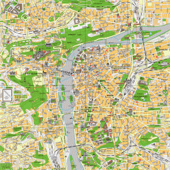
Prague City Center Map
Street map of Prague's city center. Shows tourist points of interest including landmark...
126 miles away
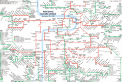
Prague Night Tram and Bus Lines Map
126 miles away
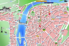
Prague Old Town Map
Tourist map of Old Town Prague, Czech Republic
127 miles away
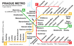
Prague Metro 2008 Map
127 miles away
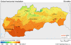
Solar Radiation Map of Slovakia
Solar Radiation Map Based on high resolution Solar Radiation Database: SolarGIS. On the Solar Map...
131 miles away
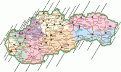
Slovakia Map
131 miles away

Czech Republic Map
132 miles away
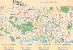
Cracow City Map
City map of Cracow with hotels
133 miles away
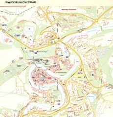
Cesky Krumlov Czech Republic Tourist Map
Tourist map of Cesky Krumlov, Czech Republic. Shows wc, buildings of historical interest and...
133 miles away
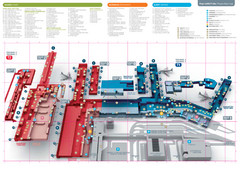
Praugue Airport Map
133 miles away
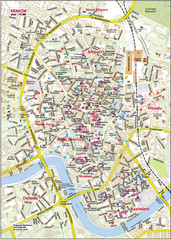
Krakow City Center Map
134 miles away
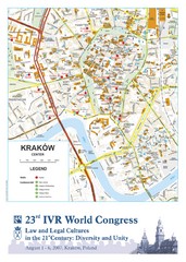
Krakow Map
Map of the city of Krakow. Includes streets, buildings, hotels, and parks.
134 miles away
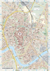
Krakow City Map
City map of central Krakow, Poland.
134 miles away
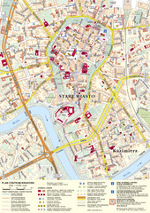
Krakow Tourist Map
Tourist map of central Krakow, Poland. Shows tourist routes and site of historic interest.
134 miles away
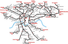
Krakow Bus Routes Map
134 miles away
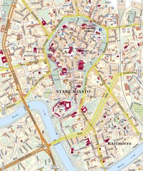
Krakow Tourist Map
134 miles away
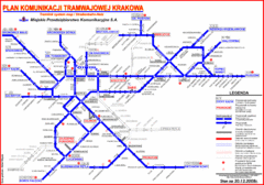
Cracow Tramlink Map (Polish)
134 miles away
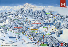
Annaberg Ski Trail Map
Trail map from Annaberg.
135 miles away
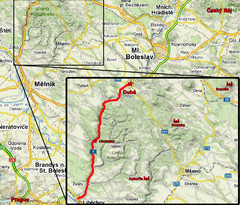
Czech Republic Tourist Map
135 miles away
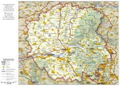
Duna-Ipoly Nemzeti National Park Map
Reference map of Duna-Ipoly Nemzeti National Park and surrounding area north of Budapest, Hungary
137 miles away
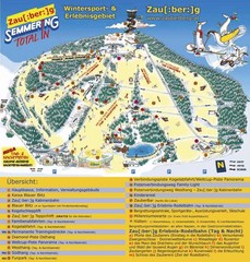
Semmering Ski Trail Map
Trail map from Semmering.
138 miles away
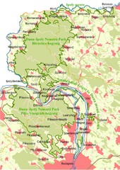
Duna-Ipoly Nemzeti Park Map
Overview map of Duna-Ipoly Nemzeti Park (Danube-Ipoly National Park) north of Budapest, Hungary
139 miles away
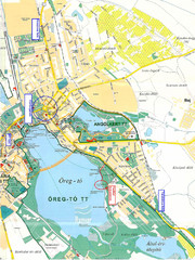
Tatai Öreg-tó Map
139 miles away
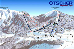
Ötscher Lackenhof Ski Trail Map
Trail map from Ötscher Lackenhof.
140 miles away
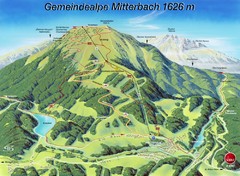
Mitterbach-Gemeindalpe Summer Ski Trail Map
Trail map from Mitterbach-Gemeindalpe.
142 miles away
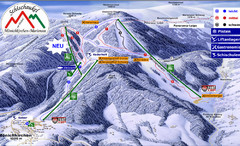
Mönichkirchen Ski Trail Map
Trail map from Mönichkirchen.
143 miles away
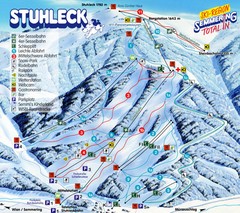
Stuhleck – Spital am Semmering Ski Trail Map
Trail map from Stuhleck – Spital am Semmering, which provides downhill skiing. This ski area...
144 miles away
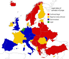
Legal Status of Cannabis in Europe Map
Shows legal status of marijuana in each European country.
148 miles away

