vienna public transport Map
93 miles away
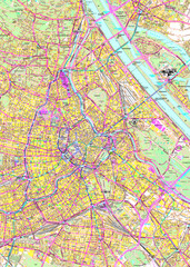
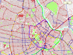
Vienna Street Map
Street map of Vienna, Austria
93 miles away
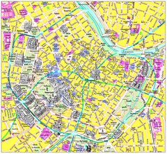
Vienna Inner City Tourist Map
Tourist map of inner city Vienna, Austria. 3D drawings of major buildings and palaces.
93 miles away
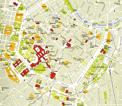
Vienna centre Map
93 miles away
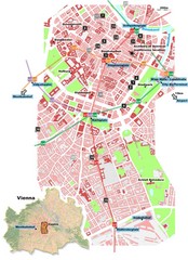
Vienna City Center Map
Map of Vienna city center
94 miles away
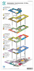
Vienna University of Technology Building Map
Building map of the Institute of Software Technology and Interactive Systems at the Vienna...
94 miles away
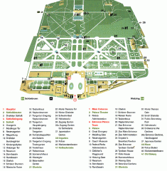
Schonbrunn Palace map
From Wikipedia: Schonbrunn Palace (German: Schloss Schonbrunn) in Vienna is one of the most...
96 miles away
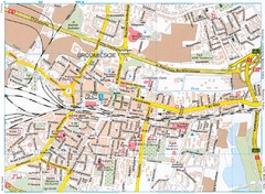
Katowice Tourist Map
Tourist map of central Katowice, Poland. Shows points of interest.
102 miles away
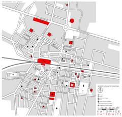
Kattowitz Tourist Map
Tourist map of Kattowitz, Poland. Shows points of interest.
102 miles away
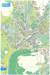
Banska Bystrica Tourist Map
Tourist map of central Banska Bystrica, Slovakia. Shows points of interest. Scanned.
106 miles away
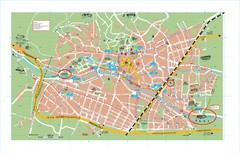
Baden City Map
City map of Baden, Austria. Shows sites of Sommer-Eurovision Sports, to take place in Baden from...
108 miles away
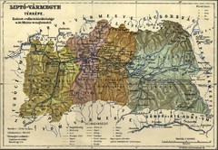
1910 Hungarian Map
Guide to area of Slovakia, previously part of Hungary
108 miles away
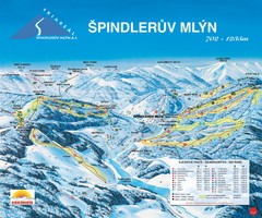
Špindlerův Mlýn Ski Trail Map
Trail map from Špindlerův Mlýn.
109 miles away
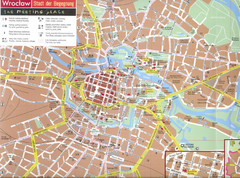
Wroclaw Tourist Map
Tourist map of central Wrocław, Poland. Shows points of interest.
113 miles away
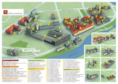
Wroclaw University of Technology Campus Map
114 miles away
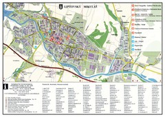
Liptovsky Mikulas Tourist Map
Tourist map of Liptovsky Mikulas, Slovakia
118 miles away
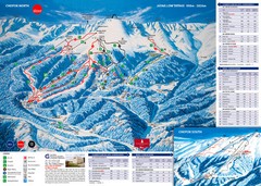
Jasná Ski Trail Map
Trail map from Jasná.
118 miles away
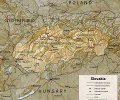
Slovakia country map
Map of Slovakia with surrounding countries. Shows boundaries, major cities, and shaded with...
119 miles away
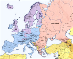
Traditional European Religious Majorities by...
Shows the traditional religious majorities by region in Europe.
119 miles away
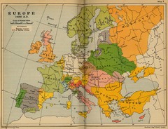
Europe 1490 Historical Map
120 miles away
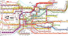
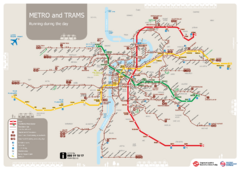
Prague Metro Map
Guide to Prague public transportation
125 miles away
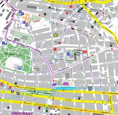
Praha Tourist Map
125 miles away
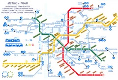
Prague (Praha) Metro Map
Guide to Prague Metro
126 miles away
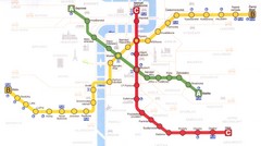
Prague Downtown Metro Map
Guide to public transportation in Prague
126 miles away
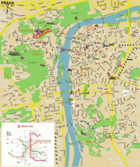
Prague (Praha) Tourist Map
Guide to major streets, points of interest and Metro
126 miles away
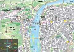
Prague Historical Center Map
Tourist map of the historical center of Prague, Czech Republic. Shows points of interest.
126 miles away
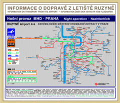
Prague Ruzyne Airport Night Public Transportation...
126 miles away
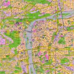
Prague Tourist Map
Tourist map of Prague, Czech Republic.
126 miles away
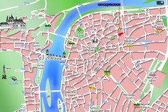
Old Prague Tourist Map
Simplified tourist map of old Prague, Czech Republic. Shows major landmarks, metro stations, and...
126 miles away
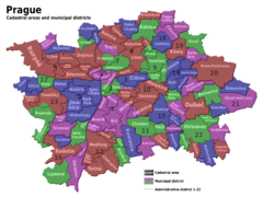
Prag Districts Map
126 miles away
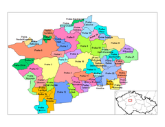
Prag Districts Map
126 miles away
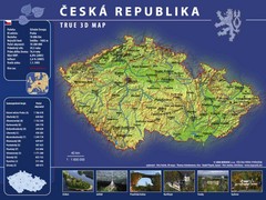
Prague, Czech Republic Tourist Map
126 miles away
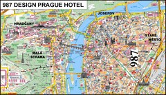
Prague, Czech Republic Tourist Map
126 miles away
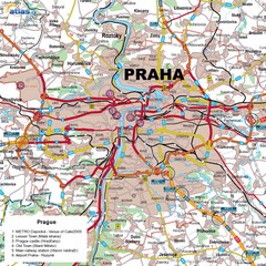
Prague, Czech Republic Tourist Map
126 miles away
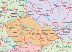
Czech Republic Tourist Map
126 miles away
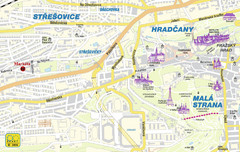
Prague Tourist Map
126 miles away
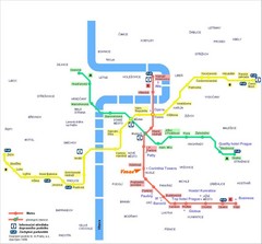
Prague Hotel Map
126 miles away

