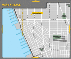
West Village New York City Hotel Map
6 miles away
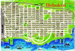
Hoboken Walking Tour map
Walking tour map of Hoboken, NJ. Shows points of interest.
6 miles away
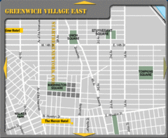
Greenhich Village New York City Hotel Map
6 miles away
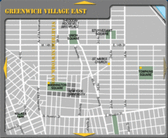
East Greenwich Village New York City Tourist Map
6 miles away
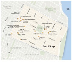
East Village walking tour map
Walking tour of the East Village in New York City, showing points of interest.
6 miles away
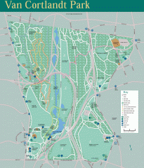
Van Cortlandt Park Trail Map
Trail map of Van Cortlandt Park in the Bronx. Covers 573 acres.
7 miles away
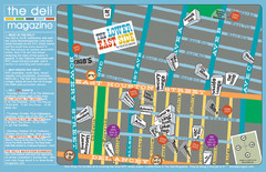
Deli Magazine's Lower East Side Music venues...
7 miles away
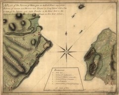
Oyster Bay and Huntington, Huntington Bay Map
A plan of the Narrows of Hells-gate in the East River, near which batteries of cannon and mortars...
7 miles away
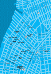
Williamsburg Art Gallery map
Map of Williamsburg and Greenpoint art galleries in Brooklyn, New York. Shows subway stops as well.
7 miles away
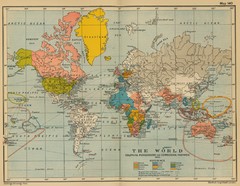
Colonial Posessions and Commercial Highways 1910...
Historical world map (1910) of various colonization and highway expansion
7 miles away
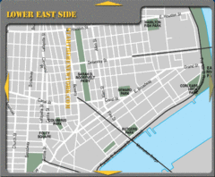
Lower Eastside New York City Hotel Map
7 miles away
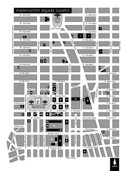
New York University Map
Campus map of New York University. All buildings included.
7 miles away
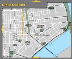
Lower Eastside New York City Tourist Map
7 miles away
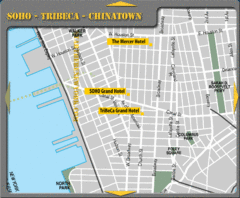
Chinatown New York City Hotel Map
7 miles away
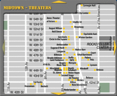
Broadway Theatre New York City Map
8 miles away

Manhattan Bus Map
8 miles away
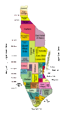
New York Neighborhoods Map
8 miles away
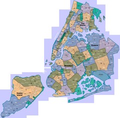
New York: A City of Neighborhoods Map
This is a map of NYC's Community Districts and neighborhoods. This map is pasted together from...
8 miles away

Sanitary & Topographical Map of the City and...
The 1865 Viele Map of Manhattan is still used today to locate springs and streams that have long...
8 miles away
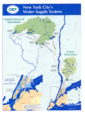
New York City's Water Supply System Map
Map of the reservoirs, aqueducts, and tunnels that supply water to NYC.
8 miles away
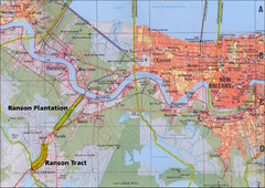
New Orleans Tourist Map
8 miles away
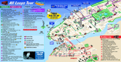
New York City Bus Tour Map
8 miles away
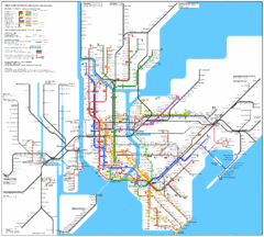
New York City Subway Map
8 miles away
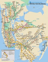
New York City Public Transportation Map
8 miles away
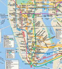
New York City Subway Map
8 miles away

Battery Park City Map
8 miles away
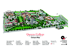
Queens College Campus Map
3D map of Queens College campus. All buildings shown.
8 miles away
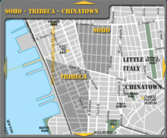
Chinatown New York City Tourist Map
8 miles away

Downtown Manhattan Tourist Map
Detailed tourist map of Downtown Manhattan showing points of interest and modes of transportation
8 miles away
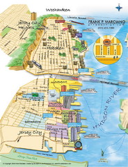
Jersey City, New Jersey City Map
Sketch of Jersey City and Hoboken, New Jersey
8 miles away
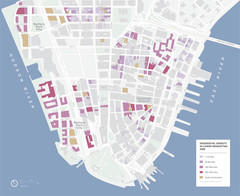
Lower Manhattan Map
8 miles away
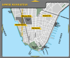
Lower Manhattan New York City Hotel Map
8 miles away
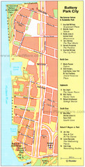
Battery Park City Map
City map of Battery Park City, an area of Manhattan, with art highlighted
8 miles away
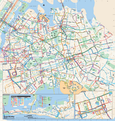
Queens, New York Bus Map
Official MTA Bus Map of Queens, NY. Shows all routes.
8 miles away
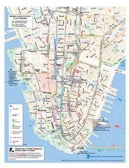
Lower Manhattan Public Transportation Map
Official MTA map of subway, bus, and ferry routes in Lower Manhattan.
8 miles away
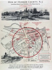
Antique map of Jersey City from 1925
Antique map of Jersey City, New Jersey from 1925.
8 miles away
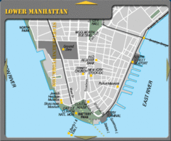
Lowe Manhattan New York City Tourist Map
8 miles away
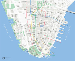
Lower Manhattan Map
8 miles away
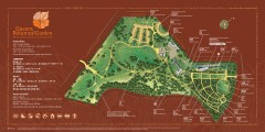
Queens Botanical Garden Map
Shows facilities and names of different gardens. In many languages.
8 miles away
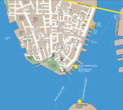
Lower Manhattan Area Map
9 miles away

