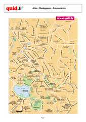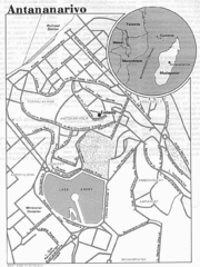
Antananarivo, Madagascar Tourist Map
2068 miles away
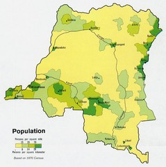
Zaire Population Map
This map clearly marks the distribution of Zaire's population.
2080 miles away
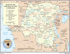
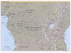
Democratic Republic of Congo Map
Overview map of the Democratic Republic of Congo (DRC).
2080 miles away
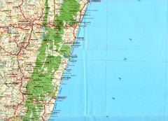
Antananarivo region Map
2093 miles away
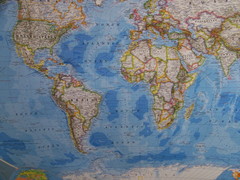
Southern Hemisphere World Map
2094 miles away
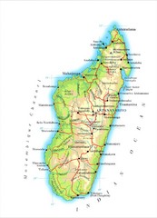
Madagascar Map
Guide to the African country of Madagascar
2111 miles away
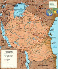
Tanzania Map
2179 miles away
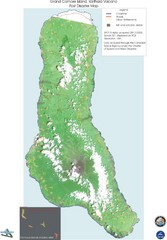
Grand Comore Island Volcanic Eruption Map
Karthala volcanic eruption post disaster map on Grand Comore Island, 8/12/2005
2198 miles away
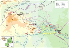
Seleous Game reserve, northern portion Map
Shows the northern part of the Seleous Game reserve in Tanzania around the Rufiji River and Beho...
2200 miles away

Grand Comore Island Topography Map
2203 miles away

Comoros Islands Map
2207 miles away
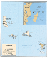
Mayotte Regional Map
Guide to the area around Mayotte
2214 miles away
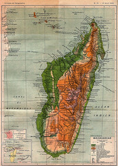
1895 Madagascar Map
Historic map of Madagascar
2215 miles away
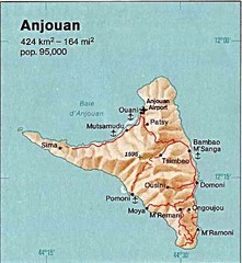
Anjouan Island topography Map
2222 miles away
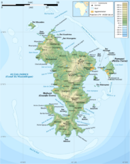
Mayotte Topographic Map
Guide to the island nation of Mayotte
2224 miles away
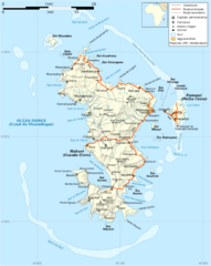
Mayotte Map
Guide to the country of Mayotte, an overseas collectivity of France
2225 miles away

Mayotte tourism Map
2227 miles away
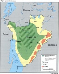
Burundi Agricultural Map
Map of Burundi's major agricultural areas
2228 miles away
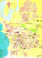
Bujumbura City Map
2229 miles away
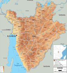
Burundi Physical Map
2240 miles away
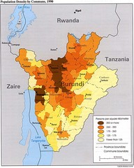
Burundi Population Density Map
Map of Burundi's population density by commune
2241 miles away
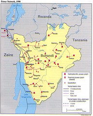
Burundi Power Plant Map
Map marking hydroelectric and thermal power plants, plus transmission lines.
2241 miles away
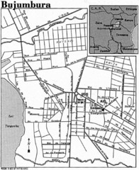
Burundi City Map
Simple city map labeling road systems.
2241 miles away

Early East and Central Africa Map - Slug Map
Sketch of a Map from 1 & deg;N. to 15 & deg;S. Latitude and from 23 & deg; to 43 &...
2243 miles away
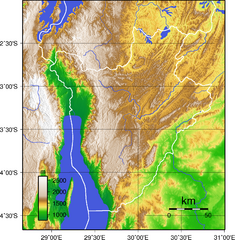
Burundi Topography Map
Color-coded physical relief map of country of Burundi
2248 miles away
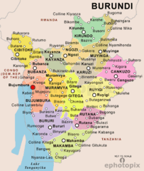
Burundi Political Map
2252 miles away
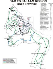
Dar Es Salaam Road Map
Map of road network in Dar Es Salaam, Tanzania
2300 miles away
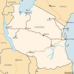
Railways in Tanzania Map
Railway network of Tanzania Map licensed on Creative Commons Share Alike License 3.0 You can...
2300 miles away
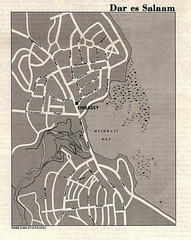
Dar es Salaam, Tanzania Tourist Map
2300 miles away
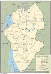
Rwanda and Burundi Guide Map
2303 miles away
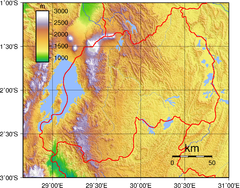
Rwanda Topography Map
2310 miles away
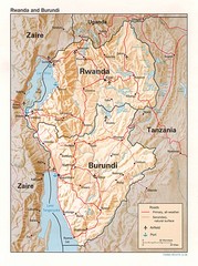
Rwanda Topographic Map
Guide to the African country of Rwanda
2329 miles away
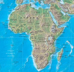
Physical Africa Map
2333 miles away
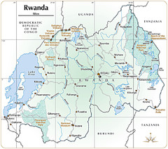
Rwanda Parks and Rainforest Map
2333 miles away
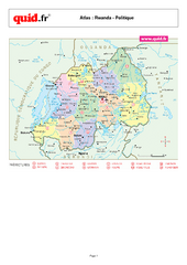
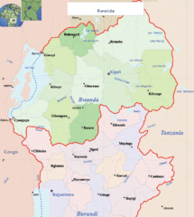
Rwanda Regional Map
Map of Rwanda with detail of regional divides
2334 miles away
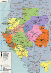
Gabon Regional Map
Guide to the regions of Gabon
2334 miles away
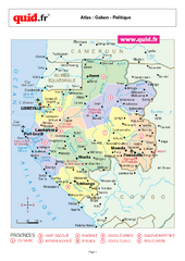
Gabon Regional Map
Map of Gabon with detail of regional divides
2336 miles away

