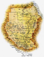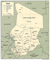
Lake Chad water levels Map
3283 miles away
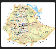
Ethiopia Map
3293 miles away

Sudan Darfur Province Map
Map of Sudan's Darfur province including high level of details for villages. Source(s...
3296 miles away
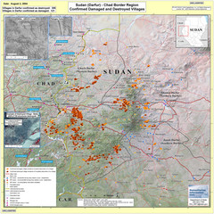
Villages Destroyed in Darfur, Sudan Map
Guide to villages destroyed as of August 2, 2004 in the Darfur region of Sudan
3299 miles away
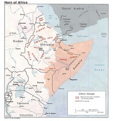
Horn of Africa Ethnic Groups Map
Map of ethnic groups throughout Horn of Africa region
3300 miles away
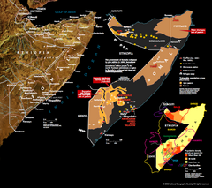
Somalia Conflict Map 2002
Shows conflict related information in Somalia from 2001-2002.
3304 miles away
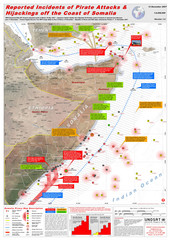
Somali Pirate Attacks Map as of Dec 12, 2007
Shows reported incidents of pirate attacks and hijackings off the coast of Somalia from Jan 2005...
3305 miles away

Ehtiopia Political Map
3309 miles away
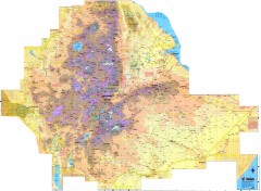
Ethiopia Elevation Map
Color coded elevation map of Ethiopia
3314 miles away
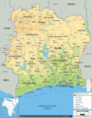
Ivory Coast Physical Map
3316 miles away
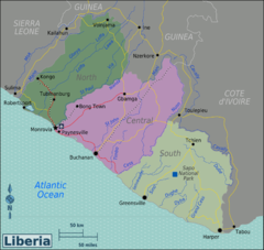
Liberia Regions Map
3320 miles away
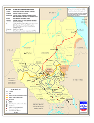
Sudan Oil and Gas Map
Map of Sudan's oil and gas concession holders
3330 miles away
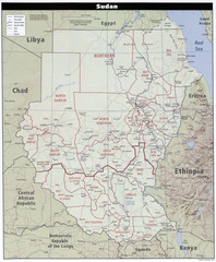
Sudan Map
Clear map of this amazing African nation.
3330 miles away
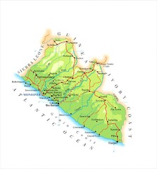
Liberia Topography Map
3339 miles away
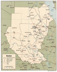
Sudan Map
Railroads, tracks, cities and borders are are marked on this clear map and legend.
3343 miles away
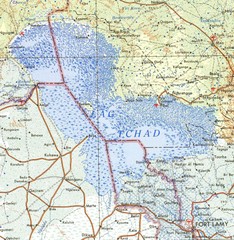
Niger Lake Chad Map
3344 miles away
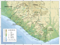
Liberia Physical Map
3370 miles away
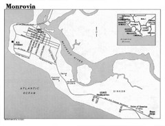
Monrovia Overview Map
Overview map of Monrovia, Liberia
3379 miles away
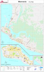
Monrovia City Map
City map of Monrovia, Liberia
3380 miles away
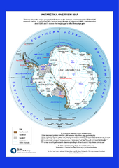
Antarctica Overview Map
Overview map of Antarctica shows geological features and US and UK research stations
3387 miles away
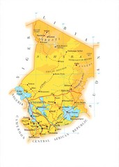
Chad Country Map
Guide to the country of Chad
3404 miles away

Lake Tana Map
3409 miles away
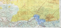
Lake Chad and Eastern Niger Physical Map
Physical map covers Lake Chad and East Niger. Shows roads and topography. Portion of Sheet 13...
3430 miles away

Burkina Faso Map
Guide to the country of Burkina Faso
3448 miles away
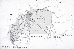
Burkina Faso Ethnic Map
Guide to ethnic regions of Burkina Faso
3449 miles away
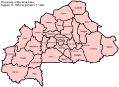
Burkina Faso Provinces Map
Guide to the provinces of Burkina Faso, from August 15, 1984-January 1, 1997
3455 miles away
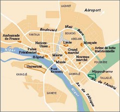
Niamey City Map
Simple map of this small city in Niger.
3455 miles away
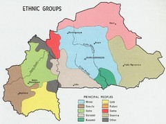
Upper Volta Ethnic Groups Map
3456 miles away
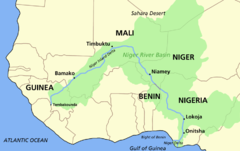
Niger river basin Map
3470 miles away
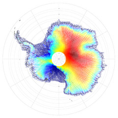
Antarctica Land and Ice Elevation Map
The colors on the map above represent ICESat’s measurements of Antarctica’s topography...
3476 miles away
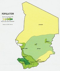
Chad Population Map 1964
Guide to the population of Chad, according to the 1964 census
3506 miles away

Niger Map
3508 miles away
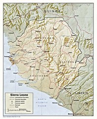
Sierra Leone Map
Guide to the African country of Sierra Leona
3531 miles away
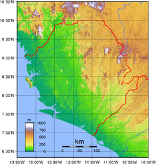
Sierra Leona Topography Map
Purely topographic map of Sierra Leone, with country outline
3533 miles away
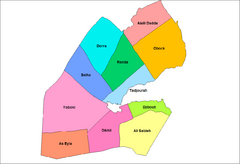
Djibouti District Map
Guide to the districts of Djibouti
3534 miles away
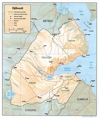
Djibouti Map
Guide to the African country of Djibouti
3541 miles away
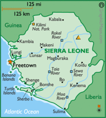
Sierra Leone Map
Cities and towns of Sierra Leone.
3541 miles away
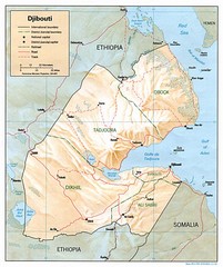
Djibouti, Africa Region Map
3544 miles away

