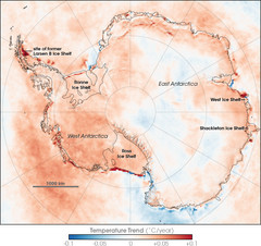
Antarctic Temperature Trend 1981-2007 Map
2921 miles away
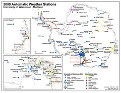
Antarctic Automatic Weather Stations Map
Map of all automatic weather stations in Antarctica
2921 miles away
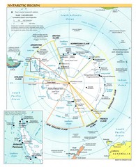
Antarctic Region Map
2921 miles away
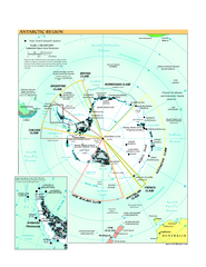
Antarctica Political Map 2005
Political map of Antarctica showing all country claims and bases.
2921 miles away
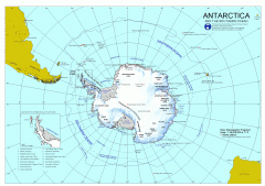
Antarctica Map
Overview map of Antarctica and the Southern ocean
2921 miles away
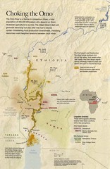
Omo River Ethiopia Map
Choking of the Omo River from National Geographic Magazine
2951 miles away
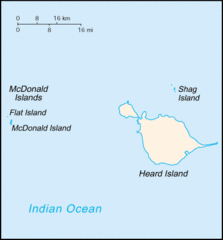
Heard Island and McDonald Islands Tourist Map
2952 miles away
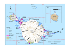
Heard Island and McDonald Islands Map
Map of Heard Island and McDonald Islands with place names, contours and the location of glaciers...
2970 miles away
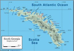
South Georgia and the South Sandwich Islands Map
Guide to the South Georgia and South Sandwich Islands, a British overseas territory and penguin...
2984 miles away
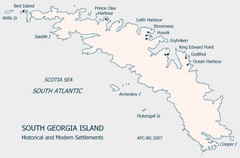
South Georgia Island Settlement Map
Shows historical and modern settlements on South Georgia Island
2985 miles away
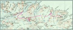
South Georgia Island Shackleton Route 1916 Map
Detailed view of South Georgia Island showing explorer Shackleton's 1916 overland route for...
2992 miles away
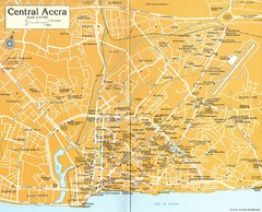
Central Accra Tourist Map
Tourist map of Accra, Ghana showing hotels, embassies, airline offices and neighborhoods.
2993 miles away
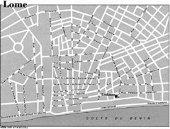
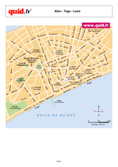
Lome, Togo Tourist Map
2993 miles away
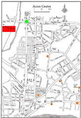
Accra Ghana Map
City center map of Accra, Ghana with tourist attractions identified on the map with street level...
3002 miles away
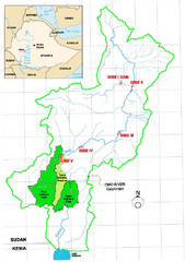
Omo River Drainage area Map
3028 miles away
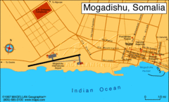
Mogadishu, Somalia Tourist Map
3042 miles away
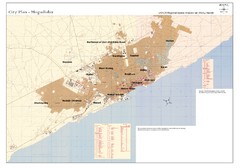
Mogadishu, Somalia Tourist Map
3042 miles away
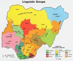
Nigeria Linguistic groups 1979 Map
3054 miles away
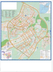
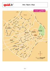
Abuja City Tourist Map
Tourist map of Abuja, Nigeria. Mostly illegible.
3062 miles away
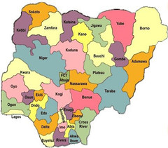
Nigeria political regions Map
3080 miles away
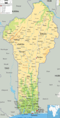
Benin Physical Map
3083 miles away
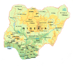
Nigeria Map
3086 miles away
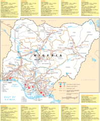
Nigeria electric grid Map
3090 miles away
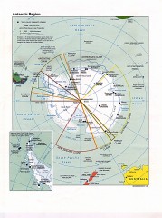
Antarctic Region Political Map 1997
Map centered on South Pole shows all country claims in Antarctica. Also shows year-round research...
3101 miles away

Togo Topography Map
3110 miles away

Mahe Island Map
3121 miles away

Seychelles Map
3121 miles away
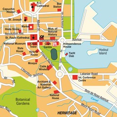
Port Victoria city Map
3122 miles away
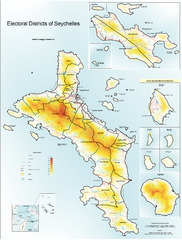
Seychelles Electoral Map
Shows electoral districts of the Seychelles Islands in the middle of the Indian Ocean.
3129 miles away
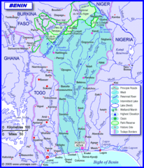
Benin road Map
3131 miles away
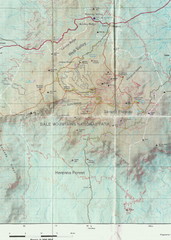
Bale Mountains National Park Map
3131 miles away
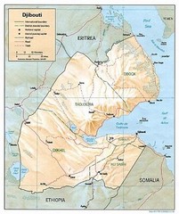
Djibouti Tourist Map
3135 miles away
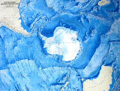
Ocean Floor Around Antarctica Map
Relief map of ocean floor around Antarctica
3138 miles away
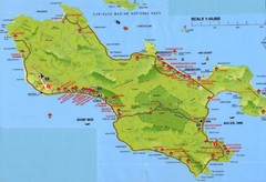
Grand Anse tourist Map
3150 miles away
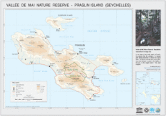
Vallee de Mai nature Reserve Map
3151 miles away

