
Downtown Oakland, California Map
Tourist map of downtown Oakland, California. Shows museums, parks, neighborhoods of interest and...
104 miles away
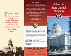
California State Capitol Museum Map
Map of museum and park
104 miles away
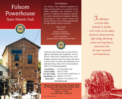
Folsom Powerhouse State Historic Park Map
Map of park with detail of trails and recreation zones
104 miles away
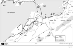
Bay Area, CA Bike Map
104 miles away
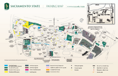
California State University at Sacramento Map
California State University at Sacramento Campus Map. All buildings shown.
104 miles away
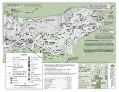
Tilden Regional Park Map - South
105 miles away
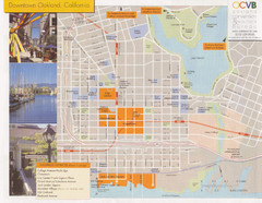
Oakland Tourist Map
Tourist map of downtown Oakland, California. Shows shopping districts.
105 miles away
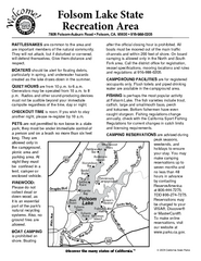
Folsom Lake State Recreation Area Campground Map
Map of park with detail of trails and recreation zones
105 miles away
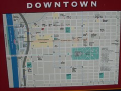
Downtown Sacramento City Map
City map of downtown Sacramento, California. From 2007 photo.
105 miles away
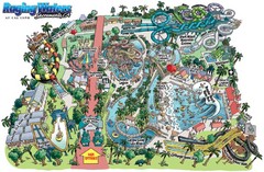
Raging Waters Sacramento Map
Fun and amusing water park for the whole family!
105 miles away
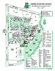
American River College Campus Map
American River College Campus Map. Shows all buildings.
105 miles away
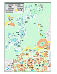
University of California, Berkeley Visitor Map
Colorful Map that illustrates the location of all buildings, parking areas, and streets in and...
105 miles away
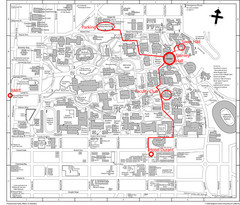
UC Berkely Campus Map
105 miles away
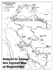
Grizzly Peak Century North Loop Route Map
Road bike route map of the north loop in the Grizzly Peak Century Ride. From site: "The...
105 miles away
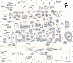
UC Berkeley Map
UC Berkeley campus map
105 miles away
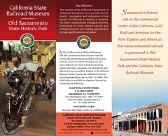
California Railroad Museum Map
Map of historic museum
105 miles away
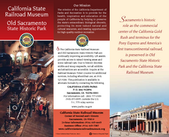
Old Sacramento State Historic Park Map
Map of park and museum with detail of trails and recreation zones
105 miles away
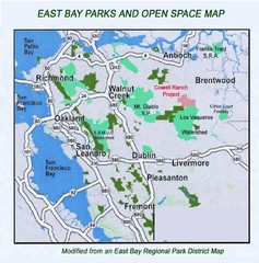
Eastbay Parks and Open Spaces Map
105 miles away

Limeklin State Park Map
Map of park with detail of trails and recreation zones
106 miles away
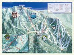
Sierra-at-Tahoe Ski Trail Map
Official ski trail map of Sierra-at-Tahoe ski area from the 2007-2008 season.
106 miles away
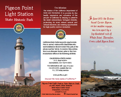
Pigeon Point Light Station State Historic Park Map
Map of park with detail of trails and recreation zones
106 miles away
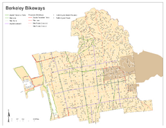
Bikeway Network of Berkeley, California Map
Map of current and proposed bike paths, lanes, and boulevards in Berkeley, California.
106 miles away
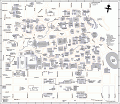
University of California at Berkeley Map
Campus map of the University of California at Berkeley. All buildings shown.
106 miles away
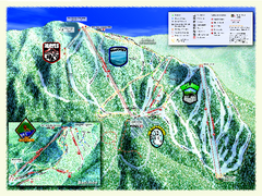
Sierra-at-Tahoe Ski Trail Map
Trail map from Sierra-at-Tahoe, which provides downhill and terrain park skiing. It has 12 lifts...
106 miles away
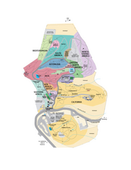
UC Botanical Gardens Map
Unfortunately this is a copy of an interactive map, so is slightly blurred at full size
106 miles away
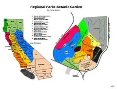
Tilden Regional Park and Native Plant Garden Map
106 miles away
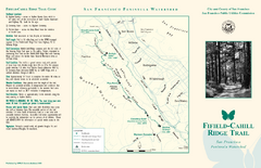
Fifield-Cahill Ridge Trail Map
Trail map and brochure of the Fifield-Cahill Ridge Trail in the San Francisco Peninsula Watershed.
106 miles away
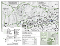
Tilden Regional Park Map - North
106 miles away

Rockville Hills Regional Park Map
Trail Map, Two small lakes, picnic areas
107 miles away
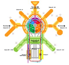
San Francisco Initernational Airport SFO Terminal...
AirTrain, airline, and gate locations map of SFO.
107 miles away
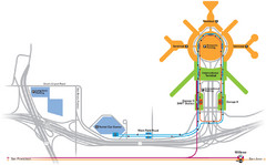
San Francisco International Airport Map
107 miles away
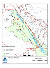
Fifield-Cahill Ridge Trail Map
Trail map of the Fifield-Cahill Ridge Trail in the San Francisco Peninsula Watershed.
107 miles away
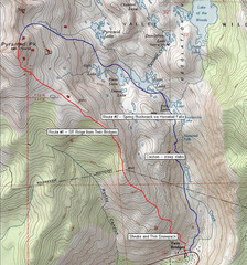
Pyramid Peak Ski Route Map
Backcountry ski route map of Pyramid Peak 9983 ft in the Desolation Wilderness near Lake Tahoe...
107 miles away
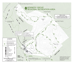
Kennedy Grove Recreation Area Trail Map
222-acre park
107 miles away
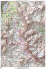
North Palisade South Lake Route Topo Map
Topo map of route from South Lake to North Palisade, 14,242 ft.
108 miles away
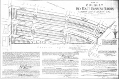
1914 Bouquet Key Route Business Block Map
This map shows the borders of the Bouquet Business District in Contra Costa County, CA
108 miles away
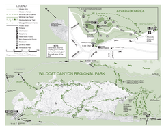
Wildcat Canyon Regional Park Map
108 miles away
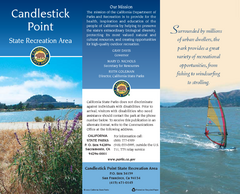
Candlestick Point Recreation Area Map
Map of park with detail of trails and recreation zones
108 miles away
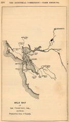
Antique map of San Francisco from 1901
"Milk Map of San Franciso, Cal., Showing Productive Area of Supply." From Report of the...
109 miles away
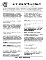
Half Moon Bay State Beach Campground Map
Map of beach with detail of trails and recreation zones
109 miles away

