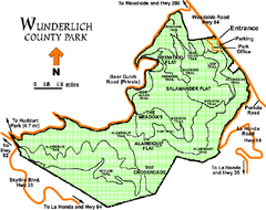
Wunderlich County Park Map
Trail map of Wunderlich County Park near Woodside, California. "The Alambique Trail offers a...
99 miles away
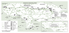
Redwood Regional Park Map
Trail map of Redwood Regional Park in Oakland, California. Shows hiking, horse, and bike trails.
99 miles away
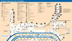
Oakland International Airport (OAK) Map
Terminal map. Shows all airport services and facilities
99 miles away
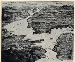
1936 San Francisco Bay Area Map Part 1
Guide to the San Francisco Bay Area in 1936, hand drawing over photograph
100 miles away
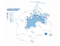
Lafayette Reservoir Recreation Area Map
100 miles away
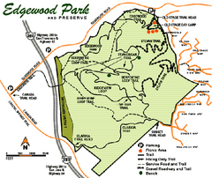
Edgewood County Park Trail Map
Trail map of Edgewood Park and Preserve in Redwood City, California.
100 miles away
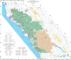
Los Padres National Forest Map - North
Overview map of the northern section of Los Padres National Forest in the Monterey Ranger District...
100 miles away
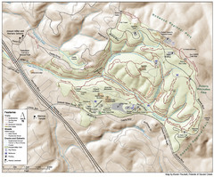
Joaquin Miller Park Map
Trail map of Joaquin Miller Park in Oakland, California. 500 acre park 9 miles from downtown...
100 miles away
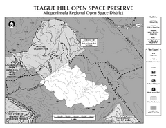
Teague Hill Open Space Preserve Map
Trail map of Teague Hill Open Space Preserve near Woodside, California. Only one trail enters a...
100 miles away
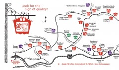
Apple Hill tourist map
Map of Apple Hill growers in Camino, California. Shows vineyards and orchards.
100 miles away
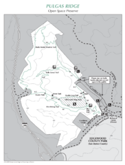
Pulgas Ridge Open Space Preserve Map
Trail map of Pulgas Ridge Open Space Preserve. 366 acres and 6 miles of trails
101 miles away
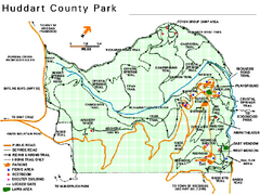
Huddart County Park Map
Trail map of Huddart County Park near Woodside, California.
101 miles away
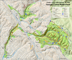
Sausal Creek Watershed Trail Map
Trail map of the Sausal Creek Watershed in Oakland, California. Show trails in Joaquin Miller Park...
101 miles away
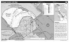
Phleger Estate Trail Map
Trail map of Phleger Estate, part of the Golden Gate National Recreation Area, in Woodside...
101 miles away
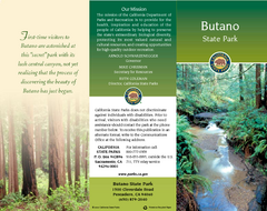
Butano State Park Map
Map of park with detail of trails and recreation zones
101 miles away
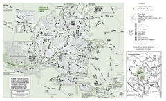
Briones Regional Park Trail Map
Trail map of Briones Regional Park in East Bay.
101 miles away
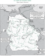
El Corte de Madera Open Space Preserve Map
Trail map of El Corte de Madera Open Space Preserve. Shows all mountain biking, hiking, and...
101 miles away

Bodie State Park SW Map
Map of park with detail of trails and recreation zones
101 miles away

Bodie State Park SE Map
Map of park with detail of trails and recreation zones
102 miles away
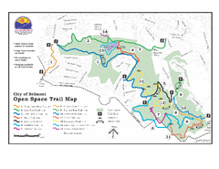
Water Dog Lake Park Trail Map
Trail map of Water Dog Lake Park. Open to mountain biking.
102 miles away
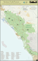
Ventana Wilderness Trails Map
Trail map of the Ventana Wilderness east of Big Sur. Also shows trails in the Silver Peak...
102 miles away
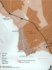
Ano Nuevo State Park Map
Map of park with detail of trails and recreation zones
102 miles away
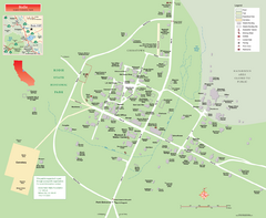
Bodie State Park Map
Map of park with detail of trails and recreation zones
102 miles away

Ano Nuevo State Park Map
Map of park with detail of trails and recreation zones
102 miles away

Bodie State Park NW Map
Map of park with detail of trails and recreation zones
102 miles away
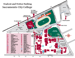
Sacramento City College Campus Map
Sacramento City Campus Map. All buildings shown.
102 miles away
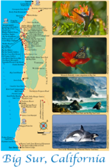
Big Sur Map
Tourist map of Highway 1 area near Big Sur, California
102 miles away
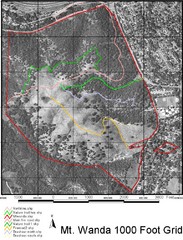
Mt. Wanda Aerial Trail Map
Trail map of Mt. Wanda area in the John Muir National Historic Site.
102 miles away
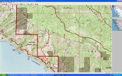
Timber Top, Big Sur Map
Route we climbed to Timber Top in Big Sur. Very steep trail.
102 miles away
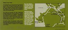
John Muir National Histroric Site Map
102 miles away

Bodie State Park NE Map
Map of park with detail of trails and recreation zones
103 miles away
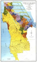
San Mateo County Map
Official county map of San Mateo, California. Scale 1"=5000'
103 miles away
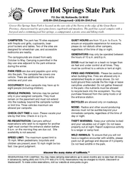
Grover Hot Springs State Park Campground Map
Map of park with detail of trails and recreation zones
103 miles away
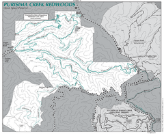
Purisima Open Space Preserve Map
Trail map of Purisima Open Space Preserve. Shows all mountain biking, hiking, and horseback riding...
103 miles away
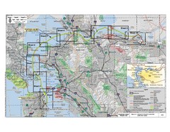
San Francisco Trans Bay Cable Project EIR Map
Map A.2-1 Detailed Project Location
104 miles away
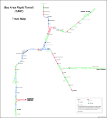
Bay Area Rapid Transit (BART) Track Map
Map of Bay Area Rapid Transit (BART) tracks. Includes all train stops and details about the tracks.
104 miles away

San Mateo County Mid-County Trail Map
Trail map of mid-county trails in San Mateo County, California.
104 miles away
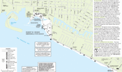
Crown Memorial State Beach Map
104 miles away
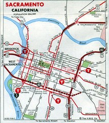
Sacramento, California City Map
104 miles away

Downtown Sacramento, California Map
Tourist map of Downtown Sacramento, California. Museums, lodging, shopping and other attractions...
104 miles away

