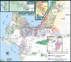
Monterey Area Map
Shows Monterey / Carmel area. Has legend on it with route highlighted to Naval housing.
92 miles away
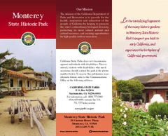
Monterey State Historic Park Map
Map of park with detail of trails and recreation zones
92 miles away
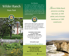
Wilder Ranch State Park Map
Map of park with detail of trails and recreation zones
92 miles away
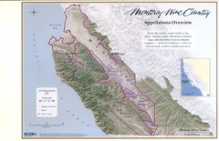
Monterey Wine Country: Appellation Overview Map
The Monterey region is world-famous for unparalleled scenic beauty, golf, and cuisine. Millions of...
92 miles away
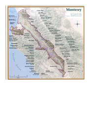
Monterey Wine Country: Appellation Overview Map
The Monterey region is world-famous for unparalleled scenic beauty, golf, and cuisine. Millions of...
92 miles away
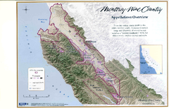
Monterey Wine Country: Appellation Overview Map
The Monterey region is world-famous for unparalleled scenic beauty, golf, and cuisine. Millions of...
92 miles away
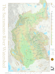
Sacramento River Watershed Map
The map shows, rivers, cities, counties, and roads surrounding the Sacramento River.
92 miles away
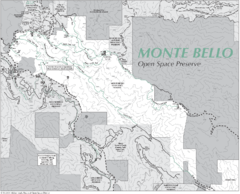
Monte Bello Open Space Preserve Map
Trail map of Monte Bello Open Space Preserve. Covers 3,142 acres and 15.5 miles of trails
92 miles away
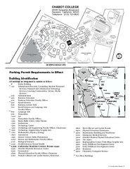
Chabot College Campus Map
Chabot College Campus Map. All buildings shown.
92 miles away
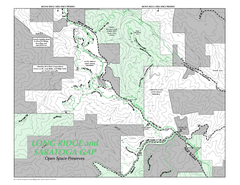
Long Ridge Open Space Preserve Map
93 miles away
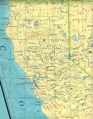
Northern California Map
Map of Northern California including cities, counties, and rivers
93 miles away
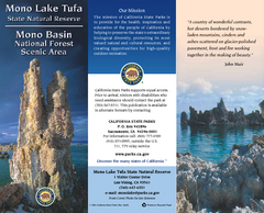
Mono Lake Tufa State Natural Reserve Map
Map of reserve with detail of trails and recreation zones
93 miles away
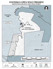
Foothills Regional Open Space Preserve Map
Preserve map of 212 acre Foothills Regional Open Space Preserve. A 0.4 mile trail leads from Page...
93 miles away
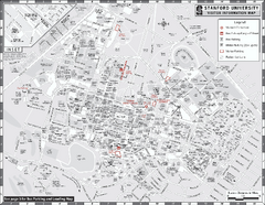
Stanford University Map
Stanford University Campus Map. All buildings shown.
94 miles away
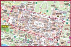
Cardinal Walk Map
Map of Stanford University campus with Cardinal Walk detail
94 miles away
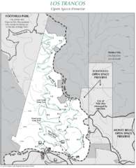
Los Trancos Open Space Preserve Map
Trail map of Los Trancos Open Space Preserve. Shows 274 acres, 5.2 miles of trails.
94 miles away
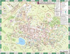
Stanford University Map
A map of the Stanford University campus.
94 miles away
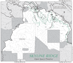
Skyline Ridge Open Space Preserve Map
Trail map of Skyline Ridge Open Space Preserve. Covers 2143 acres and 10.9 miles of trails
94 miles away

1895 San Francisco Bay Area Map
Guide to the San Francisco Bay Area in 1895
94 miles away

Arastradero Preserve Map
Trail map of Arastradero Preserve shows 10.25 miles of trails.
94 miles away
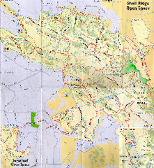
Shell Ridge Open Space Trail Map
Trail map of Shell Ridge Open Space, Walnut Creek's largest open space unit, with trails for...
94 miles away
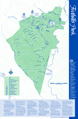
Palo Alto Foothills Park Map
Trail map of Palo Alto Foothills Park. 1400 acres and 15 miles of trails.
94 miles away
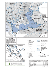
Lake Chabot Trail Map
94 miles away
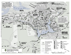
Anthony Chabot Regional Park Map - South
94 miles away
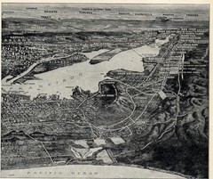
1936 San Francisco Bay Area Map Part 2
Guide to the San Francisco Bay Area, hand drawn over photograph
95 miles away
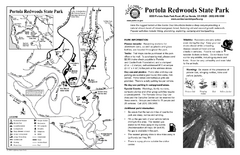
Portola Redwoods State Park Campground Map
Map of campground region of park with detail of trails and recreation zones
95 miles away
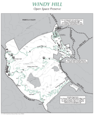
Windy Hill Open Space Preserve Map
Trail map of Windy Hill Open Space Preserve. 1312 acres and 12.2 miles of trails
96 miles away
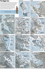
San Francisco Sea Level Rise Map
Guide to the San Francisco Bay Area, and the areas that will be underwater if there is a 1 meter...
97 miles away
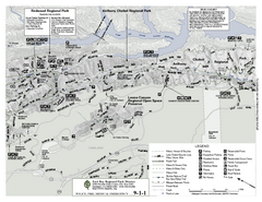
Anthony Chabot Regional Park Map - North
Trail map of the north section of Anthony Chabot Regional Park in the East Bay Hills.
97 miles away
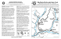
Big Basin Redwoods State Park Map
Map of park with detail of trails and recreation zones
97 miles away
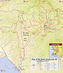
Big Basin Redwoods State Park Trail Map
Topographical trail map of Big Basin Redwoods State Park. Shows roads, trails, natural and other...
97 miles away
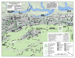
Leona Canyon Regional Open Space Preserve Map
98 miles away
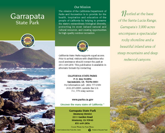
Garrapata State Park Map
Map of park with detail of trails and recreation zones
98 miles away
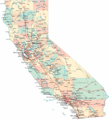
California Road Map
98 miles away
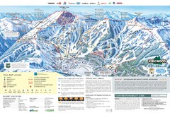
Kirkwood Ski Trail Map
Trail map from Kirkwood, which provides downhill, nordic, and terrain park skiing. It has 14 lifts...
98 miles away
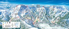
Kirkwood Ski Trail map 2006-07
Official ski trail map of Kirkwood ski area for the 2006-2007 season.
98 miles away
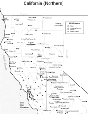
Northern California Airports Map
98 miles away
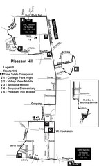
Pleasant Hill, CA Map
99 miles away
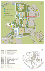
Cañada College Campus Map
Campus map of Cañada College, Redwood City, CA. Shows buildings.
99 miles away
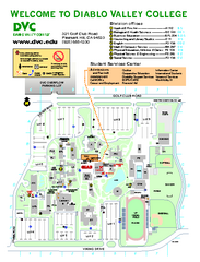
Diablo Valley College Map
99 miles away

