
Mammoth Mountain Ski Trail Map
Trail map from Mammoth Mountain, which provides downhill, nordic, and terrain park skiing. It has...
83 miles away
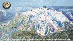
Mammoth Mountain Ski Trail map 2005
Official ski trail map of Mammoth Mountain ski area from the 2005-2006 season.
83 miles away
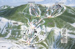
June Mountain Ski Trail Map
Official ski trail map of June Mountain ski area from the 2007-2008 season.
83 miles away
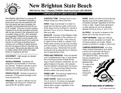
New Brighton State Beach Campground Map
Map of campground region of beach/park with detail of trails and recreation zones
83 miles away
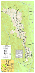
Pleasanton Ridge Regional Park Map
84 miles away

San Joaquin Valley Air Basin Map
This map is used to track air monitoring locations in periodic progress reports.
84 miles away
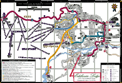
Mammoth Town Map
Map of Mammoth, including shuttle lines
85 miles away

Mammoth Mountain Downhill Skiing Trails Map
Downhill skiing trails on Mammoth Mountain, near Mammoth Lakes, California. Shows trails and their...
85 miles away
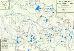
Fish Creek Area Anglers' Map
Hand-drawn fishing map of lakes, peaks, and trails in the Fish Creek Area of the John Muir...
85 miles away
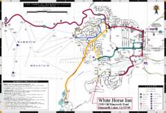
Mammoth Town Map
Town of Mammoth Lakes with shuttle lines included
85 miles away
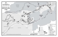
Ebbetts Pass Area Map
Guide to Winter Recreation at Ebbetts Pass
85 miles away
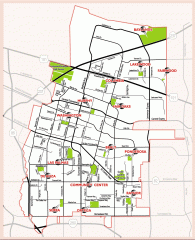
Sunnyvale map 94087 - City Parks
City parks map for Sunnyvale, California 94087. Go to the Sunnyvale Parks and Recreation site to...
85 miles away
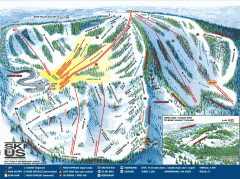
Bear Valley Ski Trail Map
Official ski trail map of Bear Valley ski area from the 2007-2008 season.
86 miles away
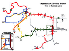
Mammoth Transit Map
Map of Mammoth transit system
86 miles away

Laguna Seca Raceway Map
Overview map of the Laguna Seca Raceway. Shows track, parking, and facilities.
86 miles away
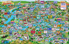
California Delta Boaters Map & Visitors Guide
Map of the California Delta, the Most Current, Legible and Unique Delta Navigation Map to date. Our...
86 miles away
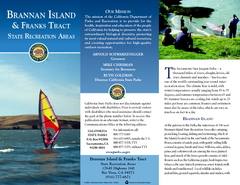
Brannan Island & Franks Tract State...
Map of park with detail of trails and recreation zones
87 miles away
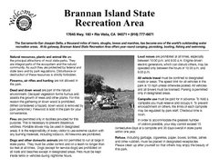
Brannan Island Campground Map
Map of park with detail of trails and recreation zones
87 miles away
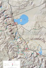
Eastern Sierra Trailhead Map - Lee Vining and...
Shows ranger stations and major trailheads in the eastern Sierra Nevada in the Mono Lake and...
87 miles away
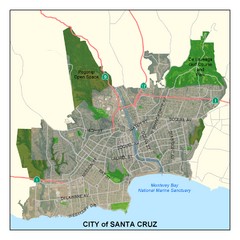
Santa Cruz City Limits Map
Map shows the city limits boundries of Santa Cruz, California
88 miles away
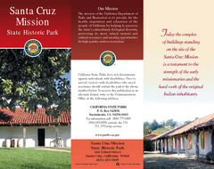
Santa Cruz Mission State Historic Park Map
Map of park and mission
88 miles away
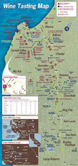
Monterey area wineries map
Map of wineries with public tasting rooms in the Monterey area
89 miles away
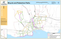
Santa Cruz, CA Bike Map
89 miles away
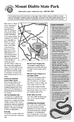
Mount Diablo State Park Campground Map
Map of park with detail of trails and recreation zones
89 miles away

Santa Cruz, California City Map
89 miles away
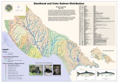
Steelhead and Coho Salmon Distribution Map...
Shows the current distribution of steelhead and resident rainbow trout and coho salmon in Santa...
89 miles away
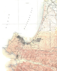
Monterey Map
89 miles away
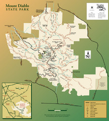
Mt. Diablo State Park Map
Trail map of Mt. Diablo State Park near Walnut Creek, CA
89 miles away
California Delta Maps Map
FISH "N" MAP of the California Delta. Navigation Map with GPS Locations. Printed on...
89 miles away
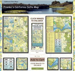
California Delta Maps Map
The "BEST" Navigational Maps of the California Delta. Franko's California...
89 miles away
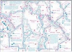
California Delta Maps/Fish "N" Map
The Delta including Suisun Bay, Sacramento & San Joaquin Rivers 10 Foot Underwater Depth...
89 miles away
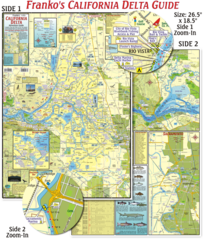
California Delta Maps Map
The "BEST" California Delta Boating, Navigation & Visitors Maps. Printed on Rip-Proof...
89 miles away

Palo Alto Baylands Nature Preserve Map
Map of the Palo Alto Baylands Nature Preserve in Palo Alto, CA. Shows trails, including part of...
90 miles away
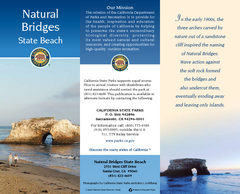
Natural Bridges State Beach Map
Map of beach and park with detail of trails and recreation zones
90 miles away
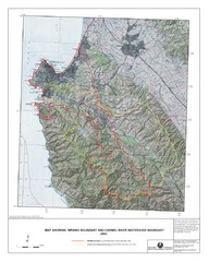
Monterey Peninsula and Carmel River Watershed...
This map contains a digital raster graphic topographic base map of the Monterey Peninsula Water...
91 miles away
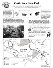
Castle Rock State Park Map
Map of park with detail of trails and recreation zones
91 miles away
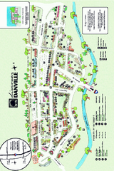
Walking Map of Downtown Danville, California
Tourist walking map of downtown Danville, California. Shows restaurants, shops, visitor's...
91 miles away
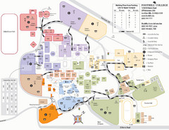
Foothill College Campus Map
Campus map of Foothill College in Los Altos Hills, CA for 2008-2009.
91 miles away
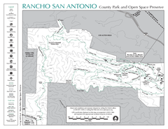
Rancho San Antonio Open Space Preserve Map
Park map of Rancho San Antonio Open Space Preserve near Los Altos, CA. Encompasses 3800 acres and...
91 miles away
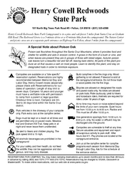
Henry Cowell Redwoods State Park Campground Map
Map of campground region of park with detail of trails and recreation zones
91 miles away

