
Mi-Wok OHV Trail Map
Trail Maps for Off Road Bikes in Stanislaus National Forest
0 miles away
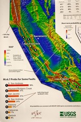
California Faults and Earthquake Probablity...
The Uniform California Earthquake Rupture Forecast map hangs at a press conference where...
less than 1 mile away
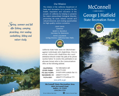
McConnell State Recreation Area Map
Map of park with detail of trails and recreation zones
16 miles away
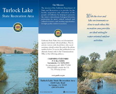
Turlock Lake State Recreation Area Map
Map of recreation area with detail of trails and recreation zones
24 miles away

Turlock Lake State Recreation Area Campground Map
Map of campground region of recreation area with detail of trails and recreation zones
24 miles away

Relative Motion of Pacific and North American...
Diagram illustrating the plate-tectonic setting of southern California (image source: USGS general...
27 miles away
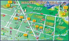
Madera wine map
Tourist map of Madera, California showing Madera Vinters and area wineries.
32 miles away
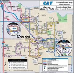
Ceres, CA Transportation Map
34 miles away

Northern California Fire Detection Map
Fires in Northern California
35 miles away
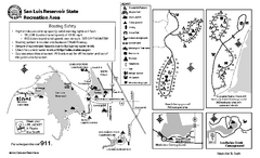
San Luis Reservoir State Recreation Area...
Map of campground region of park and reservoir with detail of trails and recreation zones
37 miles away

San Luis Reservoir State Recreation Area Map
Map of park and reservoir with detail of trails and recreation zones
37 miles away
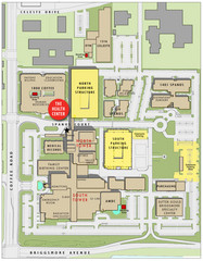
Memorial Medical Center Map
37 miles away
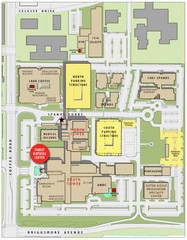
Memorial Medical Center Map
37 miles away

California Counties Map
39 miles away
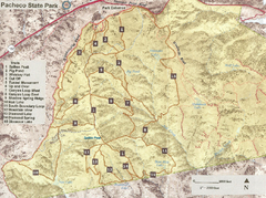
Pacheco State Park Trail Map
Map of park with details of different trails
43 miles away

Pacheco State Park Map
Map of park with detail of trails and recreation zones
44 miles away
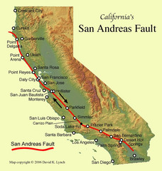
San Andreas Fault, California Map
45 miles away
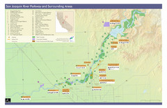
San Joaquin River Parkway Map
Map of the San Joaquin River Parkway. "The San Joaquin River Parkway is a mosaic of parks...
45 miles away
Caswell Memorial State Park Map
Map of park with detail of trails and recreation zones
47 miles away
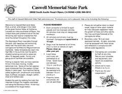
Caswell Memorial State Park Campground Map
Map of park with detail of trails and recreation zones
48 miles away

Millerton Lake State Recreation Area Park Map
Map of park with detail of trails and recreation zones
50 miles away
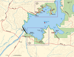
Millerton Lake State Recreation Area SW Map
Map of SW region of park with detail of trails and recreation zones
50 miles away
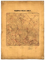
Murphy Peak Area Survey Map
Topographic geology map of Murphy Peak area, California. L.S.J.U. Geological Survey, 1911...
51 miles away
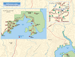
Millerton Lake State Recreation Area NW Map
Map of NW region of park with detail of trails and recreation zones
51 miles away

Millerton Lake State Recreation Area NE Map
Map of NE region of park with detail of trails and recreation zones
51 miles away
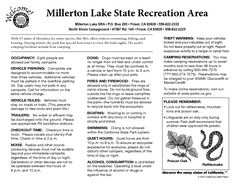
Millerton Lake State Recreation Area Campground...
Map of campground region of park with detail of trails and recreation zones
51 miles away
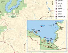
Millerton Lake State Recreation Area SE Map
Map of SE region of park with detail of trails and recreation zones
51 miles away
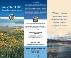
Millerton Lake State Recreation Area Map
Map of park with detail of trails and recreation zones
51 miles away
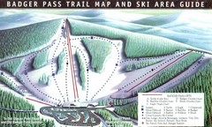
Badger Pass Ski Trail Map
Official ski trail map of Badger Pass ski area
51 miles away
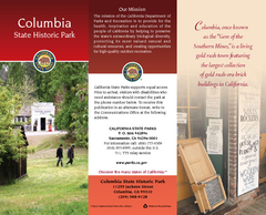
Columbia State Historic Park Map
Map of park with detail of trails and recreation zones
51 miles away
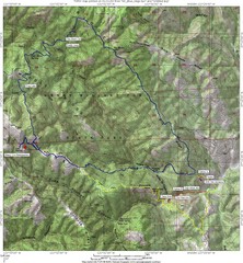
Henry Willard Coe State Park Topographical Map
Topographical map of Henry Willard Coe State Park. Includes roads, elevation information and some...
52 miles away
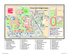
Fresno City College Campus Map
Fresno City College Campus Map. Shows all areas.
53 miles away
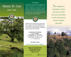
Henry W. Coe State Park Map
Map of park with detail of trails and recreation zones
53 miles away
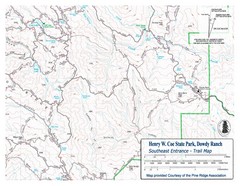
Henry W. Coe State Park, Dowdy Ranch Map
Henry W. Coe State Park Southeast Entrance Trail Map.
53 miles away
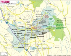
Fresno, California City Map
54 miles away
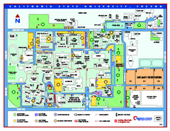
California State University - Fresno Map
California State University - Fresno Campus Map. All areas shown.
54 miles away
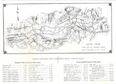
Yosemite Valley Auto Tour Map
Auto tour guide map of Yosemite, 1937
57 miles away
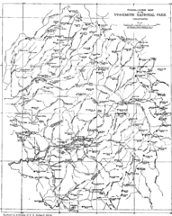
Yosemite Park Map (before development)
Map of Yosemite Park before valley development, showing only Portal Road
57 miles away

Geographic Subdivisions in California Map
57 miles away


