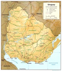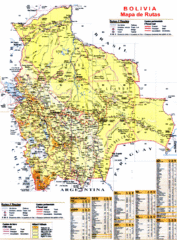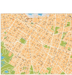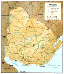
Uruguay (Shaded Relief) 1995 Map
2575 miles away
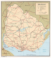
Uruguay (Political) 1973 Map
2575 miles away
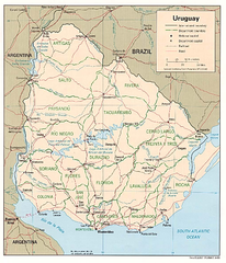
Uruguay (Political) 1995 Map
2575 miles away
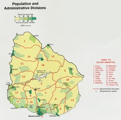
Uruguay Population Map
Uruguay's population by square mile is clearly marked on this map.
2575 miles away
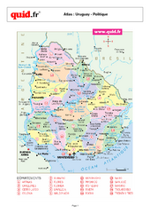
Uruguay Regional Map
Country map with detail of regional divides
2575 miles away
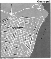
Guayaquil, Ecuador Tourist Map
2577 miles away
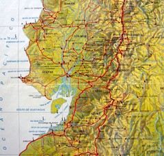
Relieve del Ecuador Map
2578 miles away
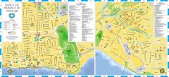
Guayaquil Tourist Map
Shows center and north sectors of Guayaquil, Ecuador. Shows points of interest. In Spanish.
2578 miles away
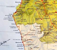
ruta del sol Map
2582 miles away
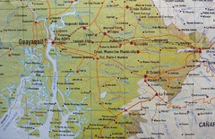
cerca de Guayaquil Map
2590 miles away
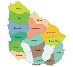
Uruguay Map
2593 miles away
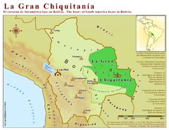
La Gran Chiquitania Map
Location map of the (Gran) Chiquitania region in Bolivia
2601 miles away

Bolivia Detail Map, 1993 Map
2603 miles away
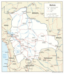
Bolivia Detail Map, 2006 Map
2603 miles away
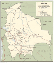
Bolivia Detail Map, 1986 Map
2603 miles away
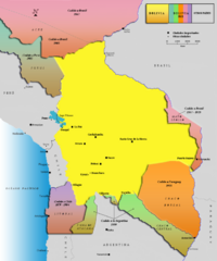
Alleged territorial losses of Bolivia Map v2.0
This another Bolivian map shows all the alleged territorial losses.
2603 miles away
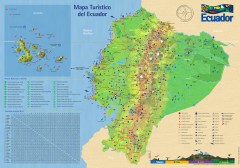
Ecuador Tourist Map
Detailed tourist map of Ecuador with inset of the Galapagos Islands. Shows National Parks and...
2619 miles away
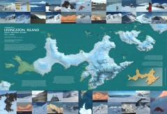
Livingston Island Ice Cover Map
L.L. Ivanov et al, Antarctica: Livingston Island, South Shetland Islands (from English Strait to...
2620 miles away

Paraguay political Map
2620 miles away
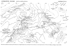
Livingston Island Map
2623 miles away
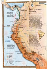
Pizzaro's South American Exploration routes...
2634 miles away
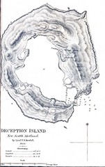
Deception Island Map
2634 miles away
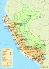
Peru Tourist Map
Roads, cities and landmarks in Peru
2635 miles away

Paraguay Map
Map of Paraguay showing cities, roads, railroads and borders.
2641 miles away
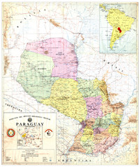
Official map of Paraguay
Official map of Paraguay, year 1993
2641 miles away
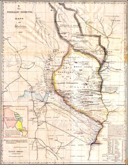
Wartime map of the Chaco
This 1933 map of the Chaco was made during the Chaco War between Paraguay and Bolivia and used by...
2641 miles away
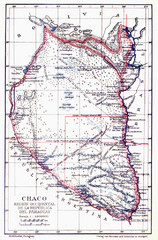
All the failed proposals to delimit the Chaco Map
Here you can see all the proposals to delimit the Chaco between 1879 and 1894. Everyone of them...
2641 miles away
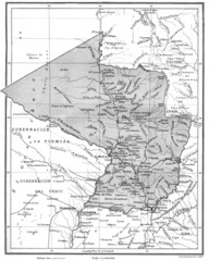
Map of Paraguay before the Chaco War
This is an internationally accepted map of Paraguay before the Chaco War (1932-35) made by Scottish...
2641 miles away
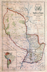
Map of Paraguay before the Chaco War
This dateless map of Paraguay that I scanned shows all the local claim over the Chaco (the northern...
2641 miles away
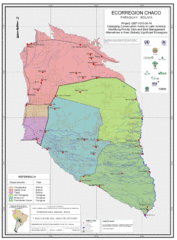
Ecological Region of the Chaco Map
This is the ecological Region of the Chaco shared between Paraguay and Bolivia
2641 miles away
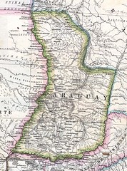
Paraguay Political Map 1875
Political map of Paraguay in 1875. Part of "Mapa Original de la Republica Argentina y Estados...
2641 miles away
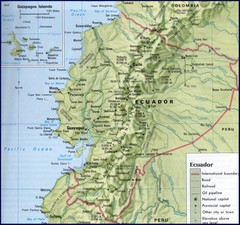
Ecuador Relief Map
2648 miles away

Paraguay Map
2652 miles away
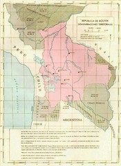
Alleged territorial losses of Bolivia Map
This Bolivian map shows all the alleged territorial losses.
2653 miles away
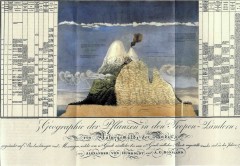
Humboldt's Scientific Representation of...
Alexander von Humboldt's scientific representation of the Chimborazo volcano in Ecuador...
2658 miles away
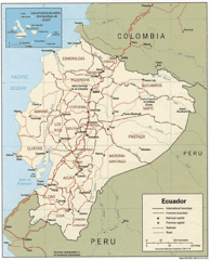
Ecuador Tourist Map
2658 miles away

