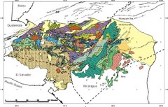
Honduras Geology Map
3536 miles away
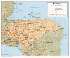
Honduras Tourist Map
3536 miles away
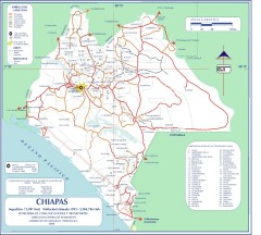
Chiapas Road Map
Road map of the Mexican state of Chiapas. Borders the Pacific Ocean and Guatemala. Shows roads and...
3541 miles away
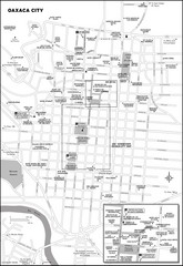
Oaxaca City, Mexico City Map
3545 miles away
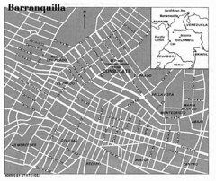
Barranquilla City Tourist Map
3546 miles away
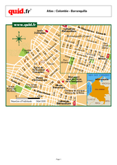
Barranquilla City Map Puerta de Oro
City map of downtown Barranquilla Puerta de Oro
3546 miles away
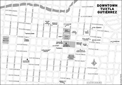
Downtown Tuxtla Gutierrez Map
Downtown Tuxtla Gutierrez
3548 miles away

Honduras North coast Map
3549 miles away
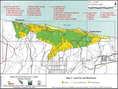
Refugio de Vida Silvestre Cuaro y Salado Mapa Map
Map of the Silvestre Cuaro and Salado Wildlife Refuge, Atlandida, Honduras.
3552 miles away
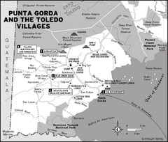
Punta Gorda and the Toledo villages Map
3553 miles away
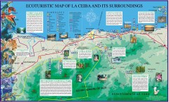
La Ceiba Ecotourism Map
Ecotourism map of La Ceiba, Honduras and its surroundings.
3562 miles away

Amazon River Map
Old map of the Amazon River and major tributaries.
3567 miles away
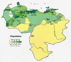
Venezuela Population Map
Map marking population per square mile.
3576 miles away
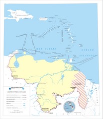
Official boundaries of Venezuela Map
All the official boundaries of Venezuela including the maritime ones.
3576 miles away

Cayos Cochios Islad Map
3582 miles away
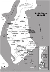
Placencia village Map
3591 miles away
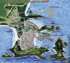
Arraial do Cabo Tourist Map
Tourist map of Arraial do Cabo, Brazil. Approx. 150 km from Rio de Janeiro. Hand-drawn panorama...
3596 miles away
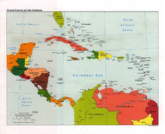
Central American and the Caribbean Political Map
3598 miles away
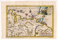
Antique Venezuela map
Very rare medium size map by Pieter van der Aa, published in his description of the Spanish...
3606 miles away
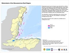
Watersheds of the Mesoamerican Reef Region Map
Map of watersheds or basins on map without elevation data
3610 miles away
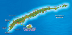
Roatan Island Tourist Map
3612 miles away
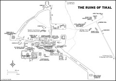
Tikal ruins Map
3619 miles away
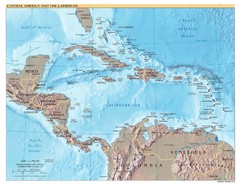
Central America Map
3624 miles away
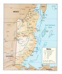
Belize Map
Map of Belize showing cities, rivers and district boundaries.
3627 miles away
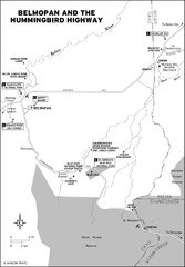
Belmopan and the Hummingbird highway Map
3629 miles away
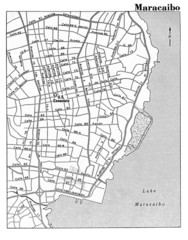
Maracaibo Street Map
3630 miles away
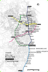
Maracaibo Bus Map
Simple map marking bus-stops and routes.
3631 miles away
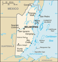
Belize Peaks and Rivers Map
3633 miles away
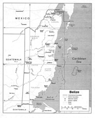
Belize (Political) U.S. Department of State 1990...
3633 miles away
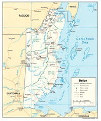
Belize Tourist Map
3633 miles away
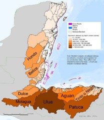
Annual Sediment Delivery from MAR Watersheds Map
This map shows which basins (or watersheds) deliver the most sediment on an annual basis to the...
3633 miles away
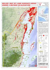
Belize Land Surface Areas Under 4 Meters Map
This map shows elevation areas in Belize under 4 meters in Red. This was the limit for the storm...
3633 miles away
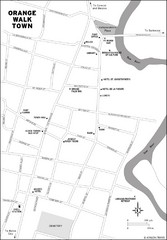
Orange Walk Town Map
View This Map
3633 miles away
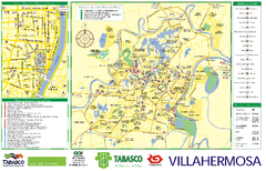
Villahermosa tourist map
3634 miles away
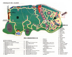
La Venta Park Map
3635 miles away

Venezuela Indigenes populations Map
3639 miles away
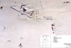
Amundsen Scott South Pole Station Aerial Map
Aerial photo map of the US Amundsen Scott South Pole Station at the South Pole, Antarctica
3640 miles away
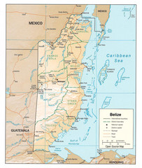
Belize Guide Map
3640 miles away

Venezuela relief Map
3641 miles away

