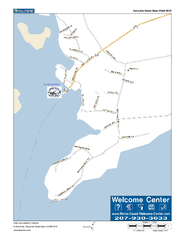
Port Clyde, Maine, USA Map
Maine Coast Welcome Center's local Map of Port Clyde, Me with recommended business locations.
1781 miles away
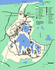
Nickerson State Park trail map
Trail map of Nickerson State Park in Massachusetts.
1781 miles away
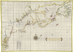
Velasco Map 1610
1781 miles away
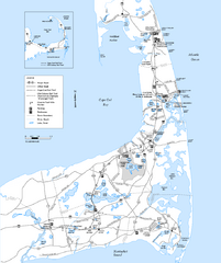
Cape Cod Rail Trail, Cape Cod, Massachusetts Map
Map of the Cape Cod Rail Trail bike path. Shows trails, restrooms, other roads and parking.
1782 miles away
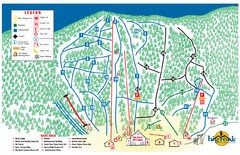
Big Rock Ski Trail Map
Trail map from Big Rock, which provides downhill, night, nordic, and terrain park skiing. It has 5...
1782 miles away
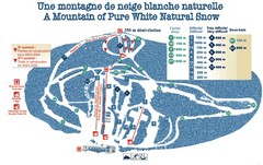
Mont Restigouche Ski Trail Map
Trail map from Mont Restigouche.
1783 miles away
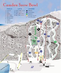
Camden Snow Bowl Ski Trail Map
Trail map from Camden Snow Bowl.
1783 miles away
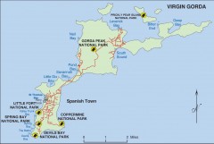
Map of Virgin Gorda
Map of Virgin Gorda in the British Virgin Islands. Shows national parks.
1784 miles away
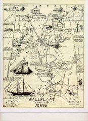
Wellfleet 1930s Tourist Map
A tourist map from the 1930s of Wellfeet, Massachusetts in Cape Cod. Courtesy of Cynthia Blakeley
1785 miles away
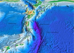
Atlantic Trench Bathymetric Map
1785 miles away
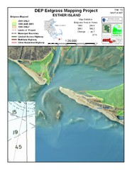
Esther Island Map
DEP Eelgrass map of Esther Island, Nantucket
1785 miles away
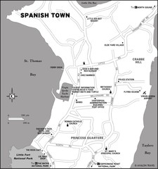
Spanish Town BVI Map
1786 miles away
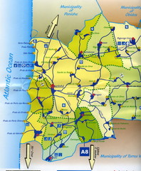
Lourinha Tourist Map
Lourinha, Portugal Tourist map showing cities, roads and some tourist sites/amenities.
1787 miles away
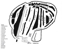
Hermon Mountain Ski Trail Map
Trail map from Hermon Mountain.
1787 miles away
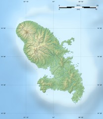
Martinque topography Map
1788 miles away
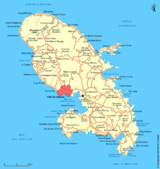
Martinique Map
Overview map of island of Martinique
1789 miles away
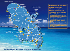
Martinique Tourist Map
Tourist map of island of Martinique in the Caribbean. Shows major roads and beaches.
1789 miles away
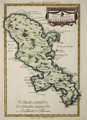
Martinque 1785 Map
1789 miles away
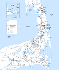
Cape Cod Rail Trail Map
Cape Cod Rail Trail map. The Cape Cod Rail Trail follows a former railroad right-of-way for 22...
1790 miles away
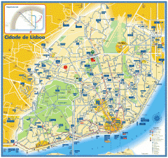
Lisbon Bus, Tram, and Metro Map
Bus and tram map of Lisbon, Portugal. Metro route insert. In Portuguese and English
1791 miles away
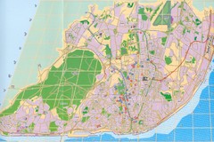
Lisbon Street Map
City street map of Lisbon, Portugal
1791 miles away
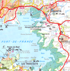
Fort de France area Map
1791 miles away
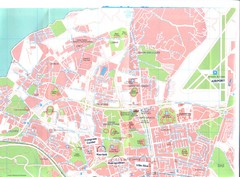
Portugal Congress Map
1792 miles away
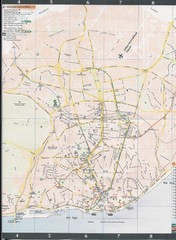
Lisbon Central Map
Map of central Lisbon, Portugal. Scanned.
1792 miles away
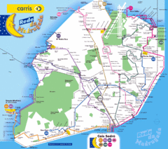
Lisbon, Portugal Tourist Map
1793 miles away
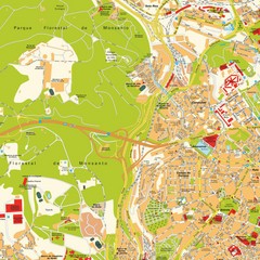
Lisbon, Portugal Tourist Map
1793 miles away
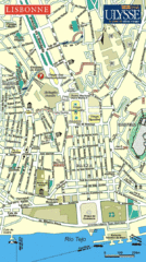
Lisbonne City Map
Simple and clear road map.
1793 miles away
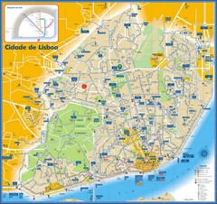
Lisboa Bus and Subway Map
1793 miles away
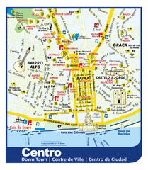
Lisbon Downtown Tourist Map
Tourist map of central Lisbon, Portugal. Shows hotels, restaurants, museums, and other points of...
1793 miles away

Cape Cod Hospital Map
Map of external vicinity of Cape Cod Hospital
1793 miles away
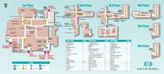
Cape Cod Hospital Map
Campus map of Cape Cod Hospital
1793 miles away
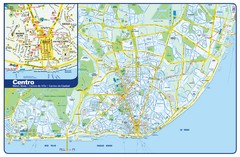
Lisbon Tourist Map
Tourist map of Lisbon, Portugal. Shows hotels, restaurants, museums, and other points of interest...
1793 miles away
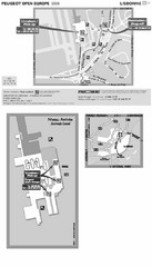
Lisbon Airport Location Map
1793 miles away
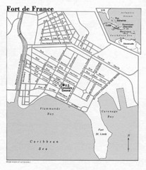
Fort de France Street Map
Street map of city of Fort de France, Martinique
1793 miles away
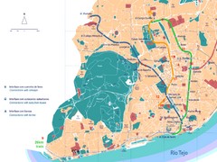
Lisboa Tourist Map
1793 miles away
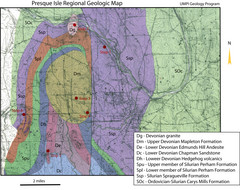
Presque Isle Geologic Map
Presque Isle Geology Field Trip Guide
1794 miles away
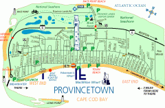
Provincetown, Massachusetts Map
Tourist map of Provincetown, Massachusetts. Shows beaches, visitor's center, bike trails, and...
1794 miles away
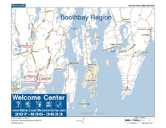
Boothbay Area, Maine, USA Map
Maine Coast Welcome Center's local Map of the Boothbay, Maine area with recommended business...
1795 miles away
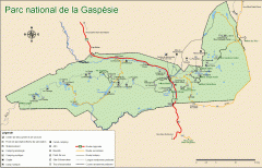
Gaspesie National Park Map - Summer
Official SEPAQ map of Gaspesie National Park in the Gaspe Peninsula, Quebec. Show trails, huts...
1795 miles away

