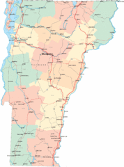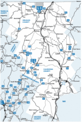
Caledonia County Map
1928 miles away
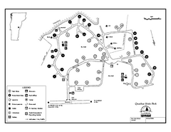
Quechee State Park map
Campground map for Quechee Gorge State Park in Vermont
1929 miles away
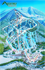
Ascutney Mountain Ski Trail Map 2006-07
Official ski trail map of Ascutney ski area from the 2006-2007 season.
1929 miles away
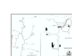
Seyon Lodge State Park Map
Campground map of Seyon Lodge State Park in Vermont
1929 miles away
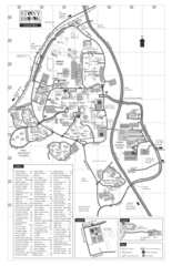
Stony Brook University Map
1930 miles away
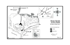
Silver Sands State Park map
Trail and campground map of Silver Sands State Park in Connecticut.
1930 miles away
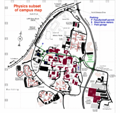
University of New York at Stony Brook Campus Map
1930 miles away
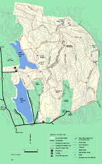
DAR State Forest winter map
Winter use map of the Daughters of the American Revolution State Forest.
1931 miles away
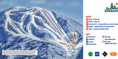
Ski Sundown Ski Trail Map
Trail map from Ski Sundown, which provides downhill and night skiing. It has 5 lifts servicing 15...
1931 miles away
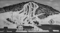
Quechee Lakes Ski Trail Map
Trail map from Quechee Lakes.
1931 miles away
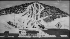
Quechee Club Ski Trail map
Official ski trail map of Quechee ski area from the 2006-2007 season.
1931 miles away
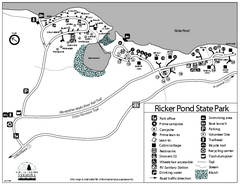
Ricker Pond State Park Campground Map
Campground map of Ricker Pond State Park in Vermont
1931 miles away
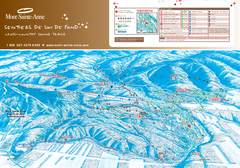
Mont-Sainte-Anne Nordic Ski Trail Map
Trail map from Mont-Sainte-Anne, which provides downhill and nordic skiing. This ski area has its...
1931 miles away
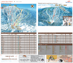
Mont-Sainte-Anne Ski Trail Map
Trail map from Mont-Sainte-Anne, which provides downhill and nordic skiing. This ski area has its...
1931 miles away
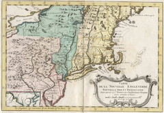
1773 New England Map
French map of New England
1932 miles away
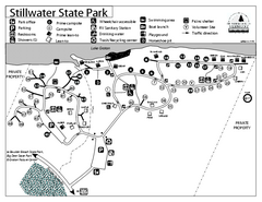
Stillwater State Park Campground Map
Campground map for Stillwater State Park in Vermont
1933 miles away
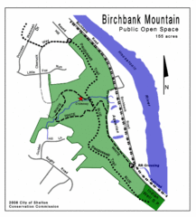
Birchbank Park Map
Several miles of moderately difficult trails along the Housatonic River bluff, including the...
1933 miles away
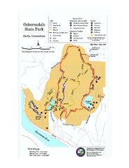
Osbornedale State Park map
Trail map of Osborndale State Park in Connecticut.
1933 miles away
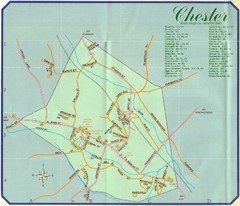
Chester Town Map
1933 miles away
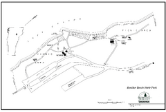
Boulder Beach State Park map
Map of Boulder Beach State Park on Lake Groton in Vermont.
1933 miles away
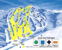
Blandford Ski Trail Map
Official ski trail map of Blandford ski area
1933 miles away
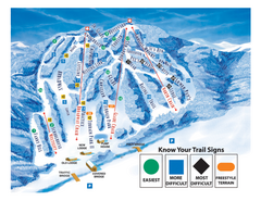
Blandford Ski Area Ski Trail Map
Trail map from Blandford Ski Area.
1933 miles away
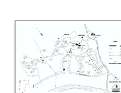
Townshend State Park Campground Map
Campground map of Townshend State Park in Vermont
1933 miles away
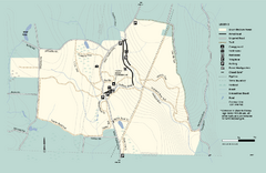
Granville State Forest trail map
Trail map of Granville State Forest in Massachusetts
1934 miles away
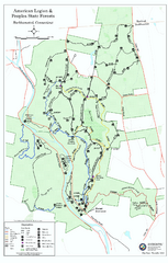
American Legion State Forest trail map
Trail map of American Legion and Peoples State Forests in Connecticut.
1934 miles away
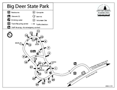
Big Deer State Park map
Campground map for Big Dear State Park in Vermont
1934 miles away
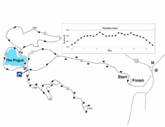
Mt. Tom road to the Pogue race course map
View Course Map and Elevations for the Mt. Tom road to the Pogue 6.1 mile run in Woodstock, VT.
1934 miles away
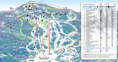
Mont Edouard Ski Trail Map
Trail map from Mont Edouard, which provides downhill skiing. This ski area has its own website.
1934 miles away

Map of Fire Island National Seashore
Official Map of Fire Island National Seashore in New York. Shows all towns and information.
1934 miles away
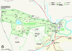
Marsh-Billings-Rockefeller National Historical...
Official NPS map of Marsh-Billings-Rockefeller National Historical Park in Vermont. Shows all areas...
1935 miles away
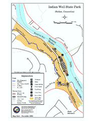
Indian Well State Park map
Trail map for Indian Well State Park in Connecticut.
1935 miles away
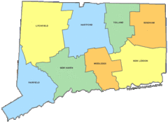
Connecticut Counties Map
1935 miles away
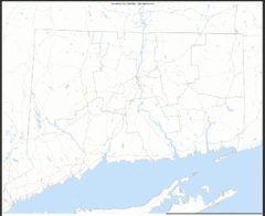
Connecticut Zip Code Map
Check out this Zip code map and every other state and county zip code map zipcodeguy.com.
1935 miles away
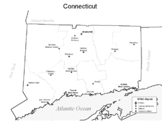
Conneticut Airports Map
1935 miles away
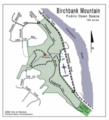
Birchbank Park Map
1935 miles away
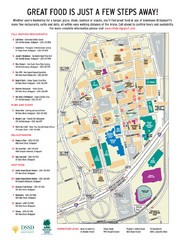
Arena at Harbor Yard Restaurants Map
List of many delicious restaurants and eateries.
1936 miles away
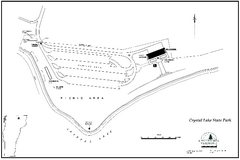
Crystal Lake State Park Map
Trail map of Crystal Lake State Park in Vermont
1936 miles away
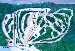
Suicide Six Ski Trail Map
Trail map from Suicide Six.
1936 miles away
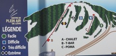
Centre de Plein Air Levis Ski Trail Map
Trail map from Centre de Plein Air Levis.
1936 miles away

