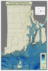
Rhode Island Shaded Bathymetry Map
Bathymetric map of Rhode Island with Narrangansett Bay and Rhode Island Sound. Graduated...
1846 miles away
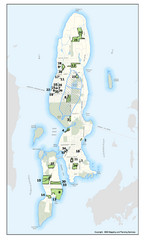
Conanicut Island Land Trust Map
Shows 430 acres of property on Conanicut Island, RI stewarded by the Conanicut Island Land Trust
1847 miles away
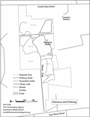
Parker Farm Trail Map
1847 miles away
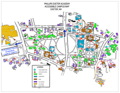
Phillips Exeter Academy Campus Map
Phillips Exeter Academy Campus Map
1847 miles away
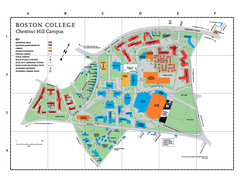
Boston College - Chestnut Hill Campus Map
Boston College - Chestnut Hill Campus Map. Shows all buildings.
1848 miles away
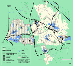
Harold Parker State Forest trail map
Trail map of Harold Parker State Forest in Massachusetts
1848 miles away
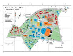
Boston College Main Chestnut Hill Campus Map
The main campus of Boston College, Chestnut Hill. Grid Map with Building Table
1848 miles away
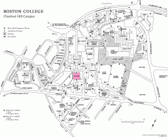
Boston College Chestnut Hill Campus Map
campus map for Boston College's Chestnut Hill Camps
1848 miles away
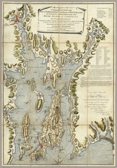
Narrangansett Bay Map 1777
"A Topographical CHART of the BAY of NARRAGANSET in the Province of NEW ENGLAND. with the...
1848 miles away
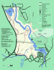
Cutler Park Reservation trail map
Trail map of Cutler Park Reservation in Massachusetts
1848 miles away
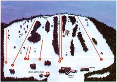
Ski Bradford Ski Trail Map
Trail map from Ski Bradford.
1848 miles away
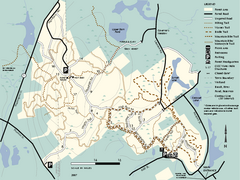
F. Gilbert Hills State Forest trail map
F. Gilbert Hills State Forest trail map in Massachusetts.
1849 miles away
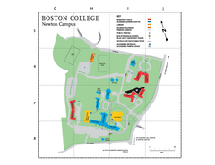
Boston College - Newton Campus Map
Boston College - Newton Campus Map. Shows all buildings.
1849 miles away
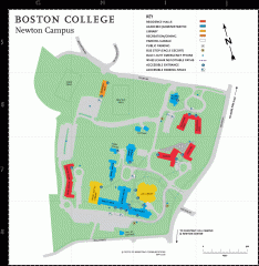
Boston College Newton Campus Map
campus map for Boston College Newton Campus
1849 miles away
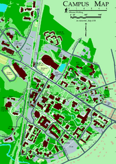
University of New Hampshire Campus Map
University of New Hampshire Campus Map
1849 miles away
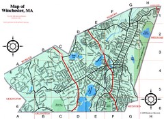
Winchester Town Map
1849 miles away
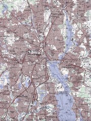
Providence Topo Map
Topo map of Providence, East Providence, Cranston, and Pawtucket, RI. Original scale 1:50,000
1851 miles away
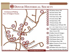
Dover Architectural Walking Map
Architectural walking tour of Hodgson Houses
1851 miles away
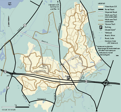
Wrentham State Forest trail map
Trail map of Wrentham State Forest in Massachusetts.
1851 miles away
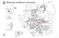
Brown University Map
1852 miles away
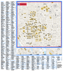
Brown University Campus Map
Official campus map of Brown University.
1852 miles away
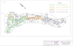
Town of Lexington Historic Districts Map
Identifies the 4 historical districts of Lexington, Massachusetts.
1852 miles away
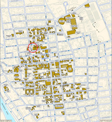
Providence, Rhode Island City Map
1852 miles away
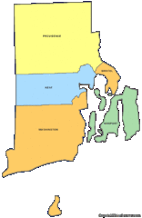
Rhode Island Counties Map
1853 miles away
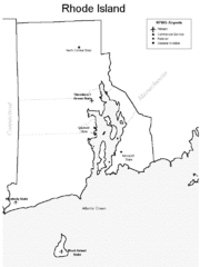
Rhode Island Airports Map
1853 miles away
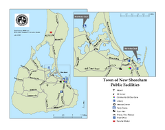
Block Island Road Map
Shows roads and major facilities on Block Island, RI (New Shoreham)
1853 miles away
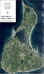
Block Island Aerial Map
Aerial map of Block Island, RI (New Shoreham, RI). True color orthophotography from August 2006.
1853 miles away
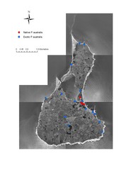
Native and Exotic Phragmites on Block Island Map
1853 miles away
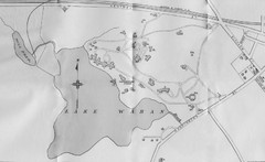
1899 Map of Wellesley College
After College Hall, the original site of Wellesley's faculty, students, classrooms, and...
1854 miles away
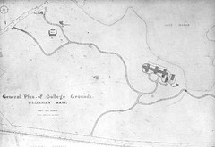
1870s Map of Wellesley College
General plan of college grounds, 1870s.
1854 miles away
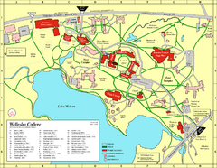
Wellesley College campus map
2008 Wellesley College campus map
1854 miles away
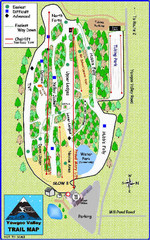
Yawgoo Valley Ski Area Ski Trail Map
Trail map from Yawgoo Valley Ski Area.
1854 miles away
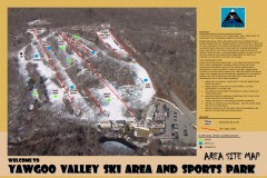
Yawgoo Valley Ski Trail map
Map of Yawgoo Valley Ski area in Exeter, Rhode Island. It is the only skiing resort in Rhode...
1855 miles away
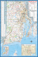
Rhode Island Road Map
Official Rhode Island state highway map. Insets show Newport and Providence.
1855 miles away
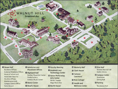
Walnut Hill School Map
Campus Map
1856 miles away
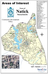
Natick Areas Of Interest Map
Shows points of interest in town of Natick, Massachusetts. Inset of downtown Natick.
1856 miles away
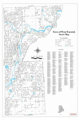
West Warwick Town Map
Street map of W. Warwick
1856 miles away
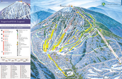
Sugarloaf Ski Trail Map
Trail map from Sugarloaf, which provides downhill, nordic, and terrain park skiing. It has 15 lifts...
1856 miles away
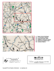
Greater Merrimack Valley, Massachusetts Map
Tourist map of greater Merrimack Valley, Massachusetts. Lodging, forests, and other points of...
1856 miles away

