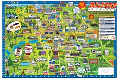
Milford Delaware Cartoon Map
73 miles away
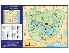
Lums Pond State Park Map
Clear legend and map of this wonderful state park.
73 miles away

Chesapeake & Ohio Canal National Historical...
Official NPS map of Chesapeake & Ohio Canal National Historical Park in Pennsylvania, West...
74 miles away
Wilderness Road State Park Map
Clearly marked state park map and legend.
75 miles away

Oriel College Map
75 miles away
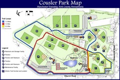
Cousler Park Map
76 miles away
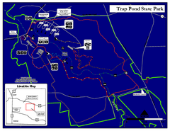
Trap Pond State Park Map
Delaware State Park map.
76 miles away
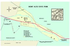
Mont Alto State Park Map
Detailed recreation map for Mont Alto State Park in Pennsylvania
76 miles away
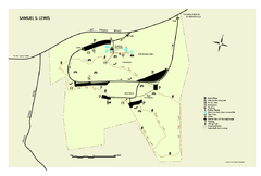
Samuel S. Lewis State Park map
Recreation map for Samuel Lewis State Park in Pennsylvania
77 miles away

University of Delaware Map
University of Delaware Campus Map. All buildings shown.
77 miles away
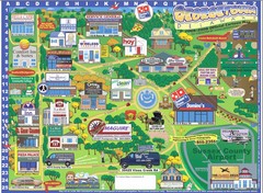
Georgetown Delaware Cartoon Map
77 miles away
Lake Anna State Park Map
Detailed state park map.
78 miles away

Caledonia State Park map
Detailed map of Caledonia State Park area in Pennsylvania.
79 miles away
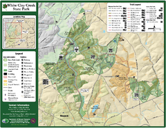
White Clay Creek State Park Map
Clear map and legend of this beautiful state park.
79 miles away
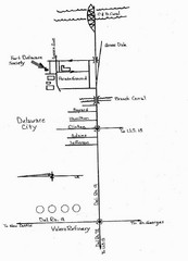
Delaware City Map
City map of Delaware City with Fort Delaware Society highlighted
79 miles away

White Clay Creek Preserve map
White Clay Creek Preserve State Park recreation and trail map
80 miles away
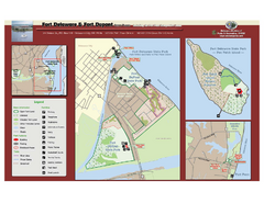
Fort Delaware State Park Map
Nice park on a beautiful island.
81 miles away
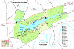
Gifford Pinchot State Park Map
Detailed map of Gifford Pinchot State Park in Pennsylvania.
81 miles away
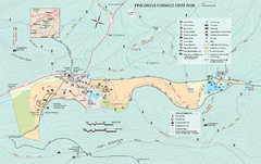
Pine Grove Furnace State Park map
Detailed recreation map for Pine Grove Furnace State Park in Pennsylvania
83 miles away
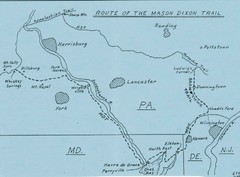
Mason Dixon Trail Map
Hand drawn map of the Mason-Dixon Trail. The 193 mile long Mason-Dixon Trail starts on the...
83 miles away
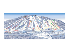
Ski Roundtop Ski Trail Map
Trail map from Ski Roundtop.
84 miles away
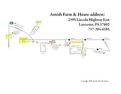
Amish Farm and House Route Map
Map showing directions to the Amish Farm and House with locations of key buildings and streets in...
84 miles away
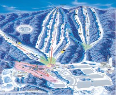
Whitetail Ski Trail Map
Official ski trail map of Whitetail Resort ski area.
84 miles away
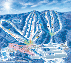
Whitetail Ski Resort Ski Trail Map
Trail map from Whitetail Ski Resort.
85 miles away

Sandy Point State Forest Hunting Map
Virginia Department of Forestry Hunting Areas
85 miles away
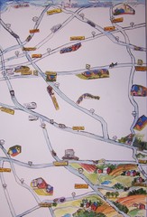
Handrawn Lancaster County Map
Guide to Amish country in Pennsylvania
87 miles away
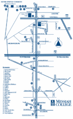
South Pennsylvania Restaurant Map
87 miles away
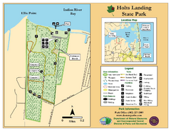
Hots Landing State Park Map
Clear map and legend.
88 miles away
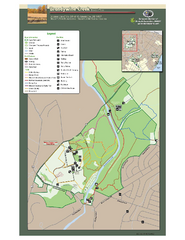
Brandywine Creek State Park Map
Easy to read map and legend of this beautiful state park.
91 miles away
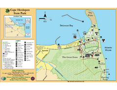
Cape Henlopen State Park Map
Beautiful park with delightful recreational activities.
91 miles away
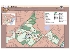
Bellevue State Park Map
Beautiful park with easy to read details.
92 miles away
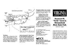
Shenandoah River State Park Map
Detailed map and legend of this beautiful state park.
93 miles away
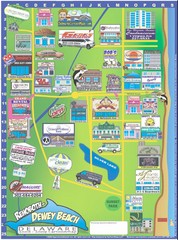
Rehoboth Beach Delaware Cartoon Map
93 miles away
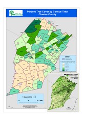
Chester County Tree Cover Map
Poster map of tree cover in Chester County, Pennsylvania
93 miles away
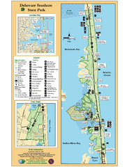
Deleware Seashore State Park Map
Park with perfect views and hiking routes.
95 miles away
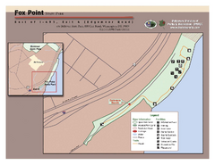
Fox Point State Park Map
Clear and simple state park map.
96 miles away
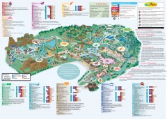
Hershey Park Official Map
Official 2007 map of the Hershey Theme Park in Hershey, PA
96 miles away
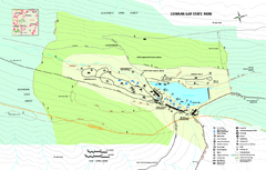
Cowans Gap State Park map
Detailed recreation map for Cowans Gap State Park in Pennsylvania
97 miles away

Shenandoah National Park map
Official NPS map of Shenandoah National Park.
97 miles away

