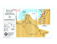
Mount Tom State Park trail map
Trail map of Mt. Tom State Park in Connecticut.
268 miles away

Bristol Mountain Ski Resort Ski Trail Map
Trail map from Bristol Mountain Ski Resort.
268 miles away
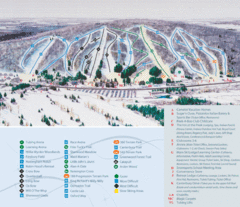
Peek’n Peak Ski Area Ski Trail Map
Trail map from Peek’n Peak Ski Area.
268 miles away

Peak-N-Peek Ski Trail Map
Official ski trail map of Peak-N-Peek ski area
268 miles away
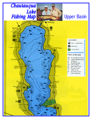
North Chautauqua Lake Fishing Map
Fishing map of northern Chautauqua Lake, New York. Shows marinas, boat ramps, state parks, and...
268 miles away
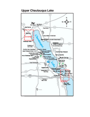
Upper Chautauqua Lake Map
Tourist map of upper Chautauqua Lake, New York. Shops, lodging, and other points of interest in the...
268 miles away
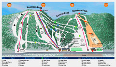
Labrador Mountain Ski Trail Map
Trail map from Labrador Mountain.
268 miles away
Blue Ridge Parkway Official Map
Official NPS map of the Blue Ridge Parkway. The Parkway meanders 469 miles through Virginia and...
269 miles away
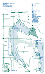
Pymatuning State Park Map
Detailed recreation map for Pymatuning State Park in Ohio
269 miles away
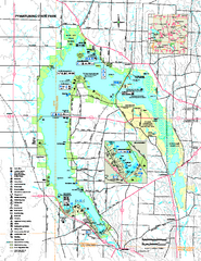
Pymatuning State Park Map
Recreation map for Pymatuning State Park in Pennsylvania
269 miles away
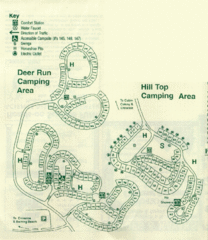
Gilbert Lake State Park Camping Map
269 miles away
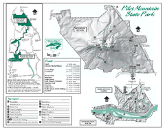
Pilot Mountain State Park map
Detailed recreation map for Pilot Mountain State Park in North Carolina
269 miles away
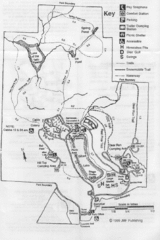
Gilbert Lake State Park Map
270 miles away
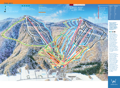
Windham Mountain Ski Trail Map
Trail map from Windham Mountain.
270 miles away

Song Mountain Ski Trail Map
Trail map from Song Mountain.
270 miles away
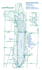
Mosquito Lake State Park map
Detailed recreation map for Mosquito Lake State Park in Ohio
270 miles away
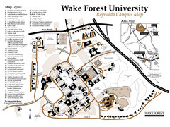
Wake Forest University Map
Campus map of Reynolda Campus
270 miles away
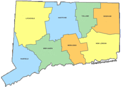
Connecticut Counties Map
270 miles away
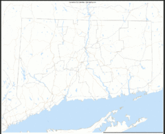
Connecticut Zip Code Map
Check out this Zip code map and every other state and county zip code map zipcodeguy.com.
270 miles away
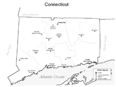
Conneticut Airports Map
270 miles away
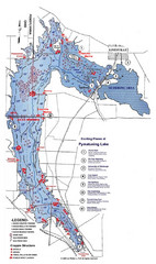
Pymatuning Lake State Park Fishing Map
Pymatuning Lake State Park fishing map
271 miles away
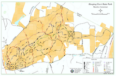
Sleeping Giant State Park map
Trail map for Sleeping Giant State Park in Connecticut.
271 miles away
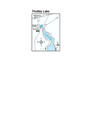
Findley Lake Map
Tourist map of Findley Lake, New York. Shows shops, lodging and hiking trails.
271 miles away
New River Trail State Park Map
Clear and detailed state park map.
271 miles away

Digital Elevation Model (DEM) of Conesus Lake Map
Digital Elevation Model (DEM) of Conesus Lake Map created in ARC Gis
271 miles away
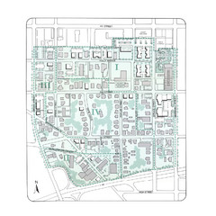
Downtown Wiston-Salem Map
The Holly Avenue neighborhood located on the southwestern edge of downtown Winston-Salem has...
271 miles away
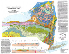
New York State Geologic Map
1:1,000,000 scale geological map of New York State
271 miles away
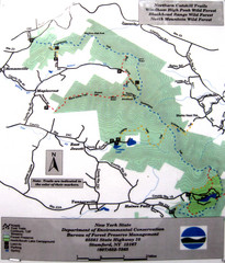
Northern Catskill Trail Map
Trail map shows hiking trails in the northern Catskills of New York. Shows trails in Windham High...
271 miles away
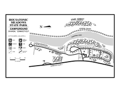
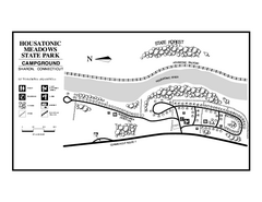
Housatonic Meadows State Park campground map
Campground map for Housatonic Meadows State Park in Connecticut.
272 miles away
Housatonic State Forest campground map
Campground map of Housatonic State Forest in Connecticut.
272 miles away
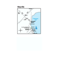
Downtown Mayville Map
Tourist map of Downtown Mayville, New York. Shows museums, restaurants, shops, government buildings...
272 miles away
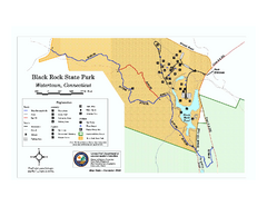
Black Rock State Park trail map
Trail map of Black Rock State Park in Connecticut.
272 miles away
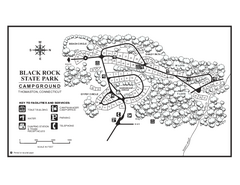
Black Rock Campground map
Map of the Campgrounds in Black Rock State Park.
272 miles away
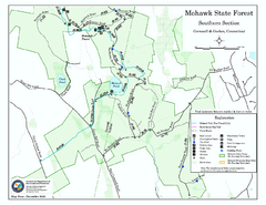
South Mohawk Mountain State Forest (Summer Trails...
Summer trails for South Mohawk State Forest in Connecticut.
273 miles away

South Mohawk Mountain State Forest (Winter Trails...
Winter trial map for the Southern Section of Mohawk Mountain State Forest in Connecticut.
273 miles away
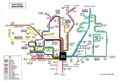
Guilford Bus Services Map
273 miles away
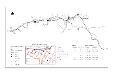
High Bridge Trail Map
Take a hike down this amazing Virginia trail.
273 miles away
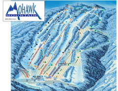
Mohawk Mountain Ski Trail Map
Ski trail map of Mohawk Mountain ski area
274 miles away

North Mohawk Mountain State Forest (Summer Trails...
Summer trail map of the North section of Mohawk Mountain State Forest in Connecticut.
274 miles away

North Mohawk Mountain State Forest (Winter Trails...
Winter trail map for North Mohawk Mountain State Forest in Connecticut.
274 miles away

