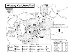
Hanging Rock State Park map
Detailed recreation map for Hanging Rock State Park in North Carolina
258 miles away
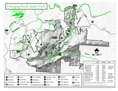
Hanging Rock state park Map
Interior color map of Hanging Rock State Park.
258 miles away
Appalachian National Scenic Trail Map
Scenic trail Maine to Georgia
258 miles away
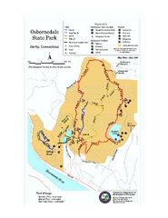
Osbornedale State Park map
Trail map of Osborndale State Park in Connecticut.
258 miles away
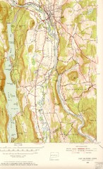
New Milford, Connecticut Map
New Milford, Connecticut topo map with roads, streets and buildings identified
258 miles away
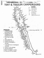
Hanging Rock, campground site map
Hanging Rock State park, map of family campground sites
258 miles away

Allegheny College Map
Campus Map
260 miles away
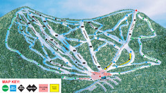
Ski Plattekill Ski Trail Map
Trail map from Ski Plattekill.
260 miles away
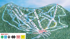
Plattekill Ski Trail Map
Official ski trail map of Plattekill ski area from the 2007-2008 season.
260 miles away
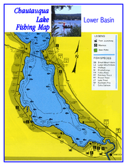
Southern Chautauqua Lake Fishing Map
Fishing map of southern Chautauqua Lake, New York. Shows marinas, boat ramps, state parks and fish...
260 miles away
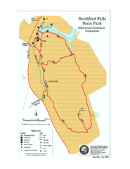
Southford Falls State Park map
Trail map for Southford Falls State Park in Connecticut.
261 miles away

Poets Walk Trail Map
Guide to Poet's Walk and Hudson River Overlook
261 miles away

Hunt Hollow Ski Trail Map
Trail map from Hunt Hollow.
261 miles away
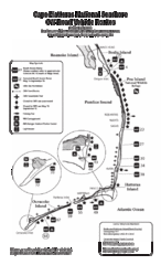
Cape Hatteras Off Road Map
262 miles away
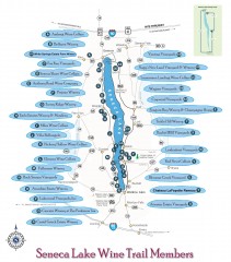
Seneca Lake Wine Trail Map
Winery tour map of Seneca Lake area in New York. Shows all vineyards that are members of the wine...
262 miles away

New Bern Map
Downtown Map of New Bern.
263 miles away
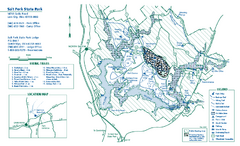
Salt Fork State Park map
Detailed recreation map for Salt Ford State Park in Ohio
263 miles away

Lower Neuse River Conservation Initiative Map
Map and poster showing conservation lands along the lower Neuse river in coastal North Carolina.
263 miles away
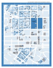
Yale University Campus South and Medical Center...
Yale University Campus South and Medical Center, including the Hewitt Quad, Cross Campus, Old Campus
263 miles away
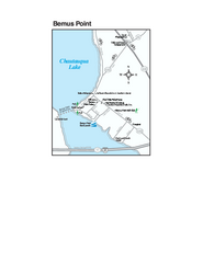
Bemus Point Map
Tourist map of Bemus Point, NY. Shows lodging, parks, shops, restaurants, and other points of...
264 miles away
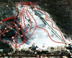
Woodbury Ski Area Ski Trail Map
Trail map from Woodbury Ski Area, which provides downhill, night, nordic, and terrain park skiing...
264 miles away
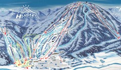
Hunter Mountain Trail Map
Ski trail map
264 miles away
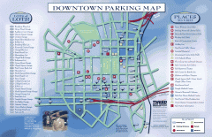
Downtown New Haven Parking Map
Shows locations of all town parking lots and also points of interest
264 miles away

Yale University Map
264 miles away
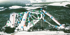
Cockaigne Ski Resort Ski Trail Map
Trail map from Cockaigne Ski Resort.
264 miles away
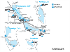
Marinas and Boat Ramps on Chautauqua and...
Recreation map of Chautauqua, Findley, Cassadaga, and Bear Lakes, New York. Shows marinas and boat...
264 miles away
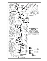
Macedonia Brook State Park campground map
Campground map for Macedonia Brook State Park in Connecticut.
264 miles away
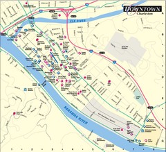
Charleston WV City Map
City map of downtown Charleston, West Virginia. Shows points of interest.
264 miles away
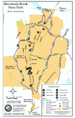
Macedonia Brook State Park trail map
Trail map of Macedonia Brook State Park in Connecticut.
264 miles away
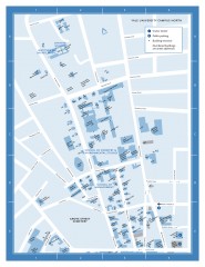
Yale University Campus North Map
Yale University Campus Map - North Campus, including School of Forestry & Environmental Studies...
264 miles away
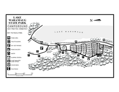
Lake Waramaug State Park campground map
Campground map of Lake Waramaug State Park.
264 miles away
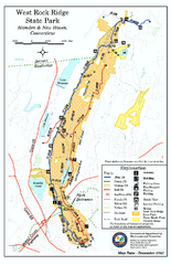
West Rock Ridge State Park map
Trail map of West Rock Ridge State Park in Connecticut.
265 miles away
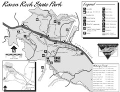
Raven Rock State Park Map
265 miles away
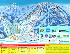
Hunter Mountain Trail Map
265 miles away
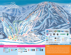
Hunter Mountain Ski Bowl Ski Trail Map
Trail map from Hunter Mountain Ski Bowl.
265 miles away
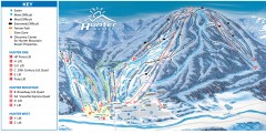
Hunter Mountain ski trail map
Official ski trail map of Hunter Mountain ski area from the 2006-2007 season.
265 miles away
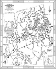
Middlebury, Connecticut Map
265 miles away
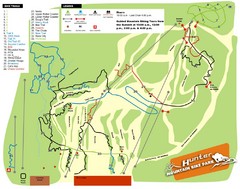
Hunter Mountain Bike Park Map
Map of bike trails in park
267 miles away
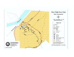
Kent Falls State Park trail map
Trail map of Kent Falls State Park in Connecticut.
267 miles away
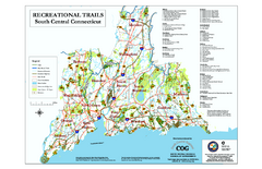
South Central Connecticut Recreational Trail Map
Map of South Central Connecticut showing all recreational trails and open spaces.
267 miles away

