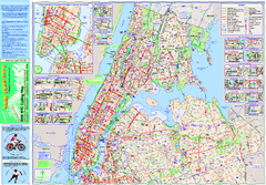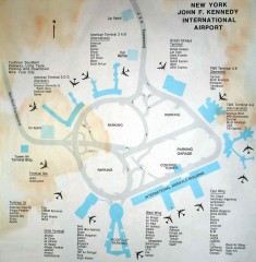
John F. Kennedy International Airport Map
Terminal and Road map of John F. Kennedy International Airport.
200 miles away
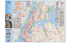
NYC Biking Route Map (Manhattan & Queens)
Official NYC biking map of Manhattan and Queens.
200 miles away

Ski Big Bear Ski Trail Map
Trail map from Ski Big Bear.
201 miles away

Broadway Elevation Map
Illustrative section of Broadway, from 125th Street to 134th Street, looking east
201 miles away

Manhattan Waterfront Greenway Bike Map
Bike map of the Manhattan Waterfront Greenway. Shows walking and biking paths, ferry landings and...
201 miles away
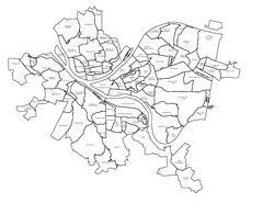
Pittsburgh neighborhoods Map
201 miles away
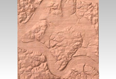
Pittsburgh map carved by CarvedMaps.com
Wood Map of the three rivers area of Pittsburgh, PA. CarvedMaps.com can carve any area within...
201 miles away

Mt. Pisgah State Park map
Detailed recreation map for Mt Pisgah State Park in Pennsylvania
201 miles away
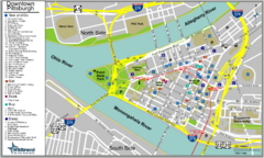
Pittsburgh Tourist Map
201 miles away
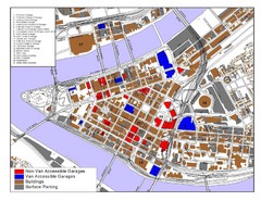
Pittsburgh Tourist Map
201 miles away
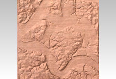
Pittsburgh, PA carved by carvedmaps.com Map
We can carve any location within the United States. Do you have a mountain cabin? We can carve...
201 miles away
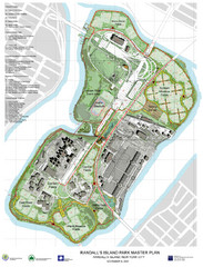
Randall's Island Park Map
Master plan for Randall's Island Park
201 miles away
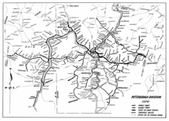
Pittsburgh, Pennsylvania City Map
201 miles away
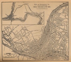
Antique map of Pittsburgh from 1879
"Map of Pittsburgh, Pa. Showing the Location of its Furnaces, Rolling Mills and Steel Works...
201 miles away
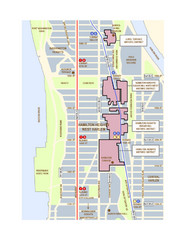
Hamilton Heights West Harlem Map
Hamilton Heights - West Harlem, New York City community map
201 miles away
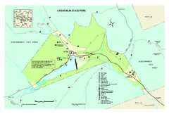
Lyman Run State Park Map
Detailed recreation map for Lyman Run State Park in Pennsylvania
202 miles away
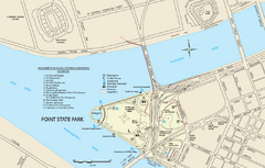
Point State Park Map
Recreation map for Point State Park in Pennsylvania
202 miles away
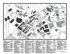
University of Pittsburgh - Main Campus Map
University of Pittsburgh - Main Campus Map. All buildings shown.
202 miles away
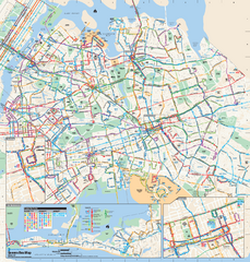
Queens, New York Bus Map
Official MTA Bus Map of Queens, NY. Shows all routes.
202 miles away
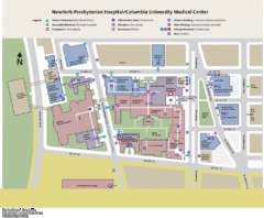
Columbia University Medical Center Map
202 miles away

Hills Creek State Park map
Detailed map of Hills Creek State Park in Pennsylvania
202 miles away
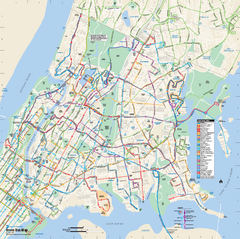
Bronx, New York Bus Map
Official MTA Bus Map of all of the Bronx, New York. Shows all routes.
202 miles away
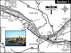
Ohio River at Pittsburgh, PA at the confluence of...
This is a page from the Ohio River Guidebook. The Ohio River begins at this confluence. This map...
203 miles away
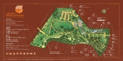
Queens Botanical Garden Map
Shows facilities and names of different gardens. In many languages.
203 miles away
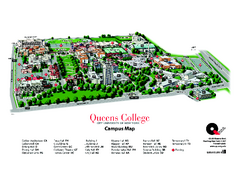
Queens College Campus Map
3D map of Queens College campus. All buildings shown.
203 miles away

1978 Bradford County, Pennsylvania Map
203 miles away
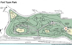
Fort Tyron Park Map
204 miles away
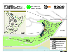
Highbridge Park mountain bike trail map
Mountain biking trail network opened in May 2007. Only mountain biking trails in Manhattan. 25...
204 miles away
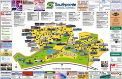
Southpointe Community Map
Tourist map of planned community in Pennsylvania
204 miles away
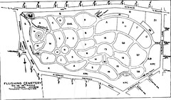
Flushing Cemetery Map
Map of the sections of Flushing Cemetery in Queens
204 miles away
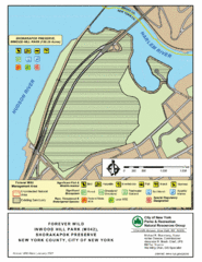
Inwood Hill Park Map
Park map of Inwood Hill Park in the Shorakapok Preserve, New York. 136 acres.
204 miles away
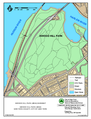
Inwood Hill Park Trail Map
Trail map of Inwood Hill Park located at the extreme northern tip of Manhattan. 136 acres.
204 miles away
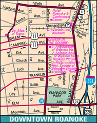
Roanoke, Virginia City Map
205 miles away
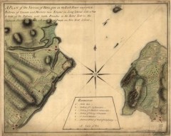
Oyster Bay and Huntington, Huntington Bay Map
A plan of the Narrows of Hells-gate in the East River, near which batteries of cannon and mortars...
205 miles away
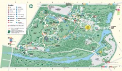
Bronx Zoo Map
Bronx Zoo. The Zoo is open 365 days a year. "Now through November 4, 2007, our hours are 10...
205 miles away
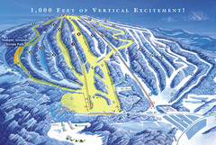
Elk Mountain Ski Trail Map
Trail map from Elk Mountain.
206 miles away
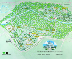
The New York Botanical Garden Map
Official Map of The New York Botanical Garden in New York. Shows all areas and different gardens.
206 miles away

Bendigo State Park map
Detailed map of Bendigo State Park in Pennsylvania
206 miles away
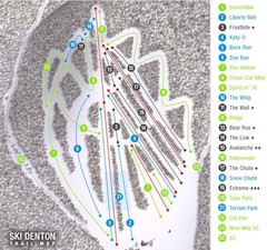
Ski Denton Ski Trail Map
Trail map from Ski Denton.
206 miles away

