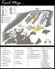
Ski Sawmill Ski Trail Map
Trail map from Ski Sawmill.
183 miles away

Parker Dam State Park Map
Detailed recreation map of Parker Dam State Park in Pennsylvania
183 miles away

Staten Island Subway/Railway Map
183 miles away
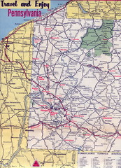
Western Pennsylvania Map
Western Pennsylvania, Northern West Virginia and Eastern Ohio roads
183 miles away
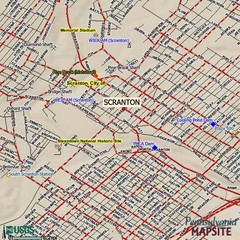
Scranton, Pennsylvania City Map
183 miles away
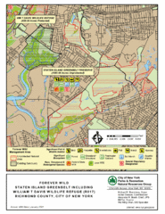
Staten Island Greenbelt Map
184 miles away
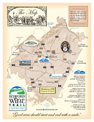
Bedford Wine Trail Map
Map of Bedford Wine Trail, showing all area wineries and vineyards.
184 miles away
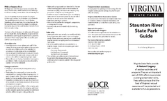
Staunton River State Park Map
Clear map marking trails, rest stops, facilities and more.
184 miles away
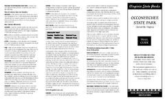
Occoneechee State Park Map
This map clearly marks rest stops, trails, campgrounds and more.
184 miles away
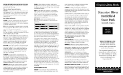
Staunton River Battlefield State Park Map
Clearly labeled state park map.
184 miles away
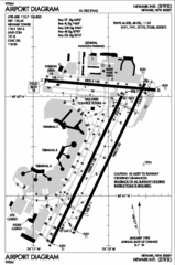
Newark Liberty International Airport Map
186 miles away
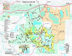
Promised Land State Park map
Detailed recreation map for Promised Land State Park in Pennsylvania
187 miles away
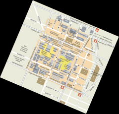
Rutgers University Map
189 miles away
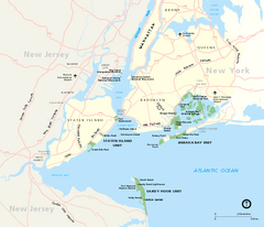
Gateway National Recreation Area Map
Park map of lands in the NPS Gateway National Recreation Area in New York and New Jersey. Shows...
189 miles away
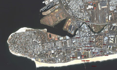
Coney Island Map
Aerial photo Coney Island map
189 miles away

Ole Bull State Park Map
Detailed recreation map of Ole Bull State Park in Pennsylvania
189 miles away
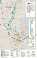
Newark Light Rail system Map
Newark Light rail system
190 miles away
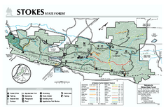
Stokes State Forest map
Trail map of Stokes State Park in New Jersey.
191 miles away
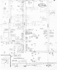
Pipestand Map
Historical map with reference to pipestand for the fire department
191 miles away
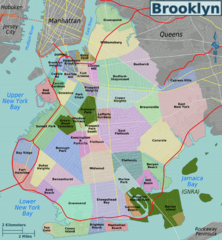
Brooklyn, Neighborhoods Map
191 miles away
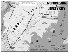
Jersey City Map
191 miles away
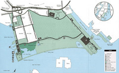
Liberty State Park Map
Map of Liberty State Park, New Jersey on the New York Harbor and next to Ellis Island. Shows...
191 miles away
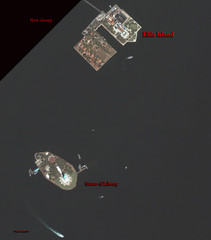
Ellis Island and Statue of Liberty Map
Aerial map of Ellis Island and the Statue of Liberty
192 miles away

NYC Biking Route Map (Part of Queens, Brookyln...
Official biking route map of part of Queens, Brookyln and Staten Island
192 miles away
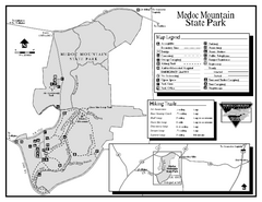
Medoc Mountain State Park map
Detailed recreation map for Medoc Mountain State Park in North Carolina.
192 miles away
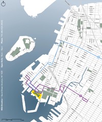
IKEA Brooklyn Map
Location map and map of bus routes and access streets to IKEA in Brooklyn, NY.
192 miles away
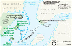
Statue of Liberty National Monument Map
Official NPS map of Statue of Liberty National Monument. Shows Statue of Liberty, Ellis Island, and...
192 miles away
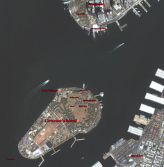
Governor's Island Map
Aerial photo view map of Governor's Island, New York
193 miles away
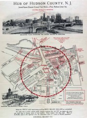
Antique map of Jersey City from 1925
Antique map of Jersey City, New Jersey from 1925.
193 miles away
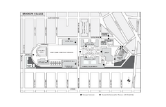
Brooklyn College Campus Map
Brooklyn College Campus Map. All buildings shown.
193 miles away
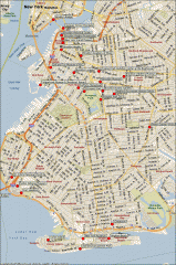
Brooklyn Attractions map
Map of attractions and points of interest in Brooklyn, New York.
193 miles away
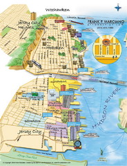
Jersey City, New Jersey City Map
Sketch of Jersey City and Hoboken, New Jersey
193 miles away
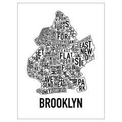
Brooklyn Neighborhood Art Map
Artistic neighborhood map of Brooklyn
193 miles away

Tanglwood Ski Area Ski Trail Map
Trail map from Tanglwood Ski Area, which provides downhill, night, and terrain park skiing. It has...
193 miles away
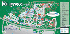
Kennywood Theme Park Map
"America's Finest Traditional Amusement Park" is the slogan for this fun, high rated...
193 miles away
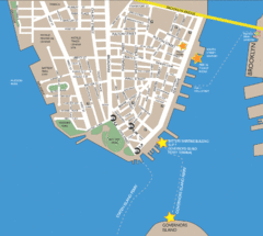
Lower Manhattan Area Map
193 miles away
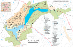
Lackawanna State Park Map
Detailed map of Lackawanna State Park in Pennsylvania.
193 miles away
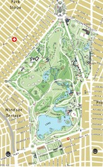
Prospect Park Map
193 miles away
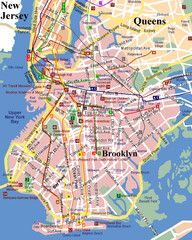
Brooklyn, Attractions Map
193 miles away
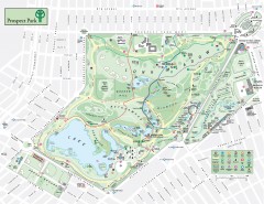
Prospect Park Map
Overview map of Prospect Park, a 585-acre city park located in the heart of Brooklyn. Designed by...
193 miles away

