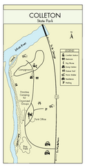
Colleton State Park Map
Detailed map and map legend of this beautiful state park.
316 miles away
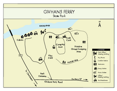
Givhans Ferry State Park Map
Map marked with shelter, phone, restrooms, picnic and more.
317 miles away

Summerville, South Carolina Tourist Map
318 miles away
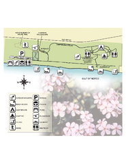
Henderson State Park Map
Map of park with detail of trails and recreation zones
318 miles away
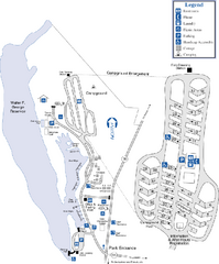
Florence Marina State Park Map
Map of park with detail of trails and recreation zones
320 miles away
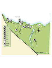
Fred Gannon Rocky Bayou State Park Map
Map of park with detail of trails and recreation zones
320 miles away
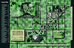
Georgia College Campus Map
Georgia College Campus Map. Shows all areas.
328 miles away
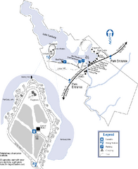
Hamburg State Park Map
Map of park with detail of trails and recreation zones
329 miles away
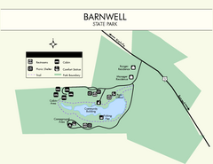
Barnwell State Park Map
Simple map of this state park.
330 miles away
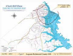
Richmond County Failure Inundation Map
Map of the flood water failure inundation of Augusta Richmond county, Georgia. Includes detailed...
333 miles away
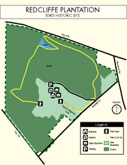
Redcliffe Plantation State Park Map
Clear map of this wonderful state park with a beautiful natural setting.
336 miles away
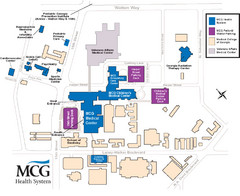
MCG Health System--Medical College of Georgia...
Color-coded map of all buildings on the Medical College of Georgia associated with the MCG Health...
340 miles away
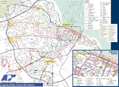
Augusta Public Transit Routes Map
Transit Route Map of the town of Augusta. Includes all streets, some important buildings, and a...
340 miles away
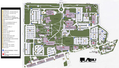
Augusta State University Map
Campus map
341 miles away
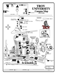
Troy University Map
Campus map of Troy University Troy campus. All areas shown.
345 miles away
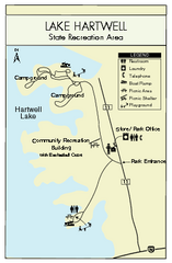
Lake Hartwell State Park Map
Clear state park map.
345 miles away
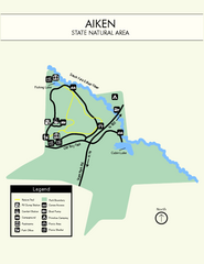
Aiken State Park Map
Small and simple state park map.
345 miles away
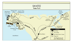
Santee State Park Map
Clear state park map.
349 miles away
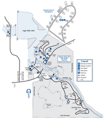
High Falls State Park Map
Map of park with detail of trails and recreation zones
350 miles away
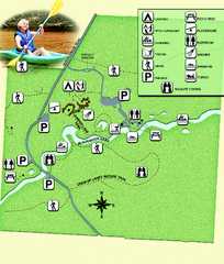
Blackwater River State Park Map
Map of park with detail of various recreation zones
351 miles away
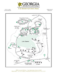
F.D. Roosevelt State Park Map
Map of park with detail of trails and recreation zones
352 miles away

Lake Oconee Map
352 miles away
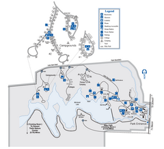
Indian Springs State Park Map
Map of park with detail of trails and recreation zones
353 miles away
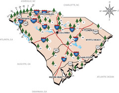
South Carolina State Park Map
Shows state parks in South Carolina
353 miles away
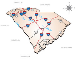
South Carolina Interstate Map
Shows Interstate highways in South Carolina
353 miles away
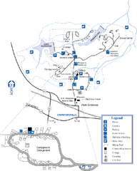
A. H. Stephens Historic Park Map
Map of park with detail of trails and recreation zones
355 miles away
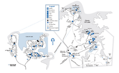
Mistletoe State Park Map
Map of park with detail of trails and recreation zones
355 miles away

Pensacola Beach Tourist Map
355 miles away
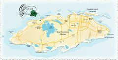
Nassau Island Map
355 miles away
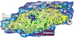
Nassau New Providence Island Map
Tourist map of New Providence Island, Bahamas
355 miles away
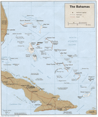
Bahamas Tourist Country Map
356 miles away
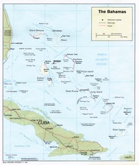
The Bahamas Tourist Map
356 miles away
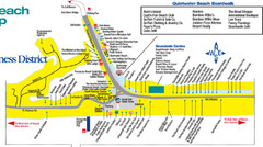
Quitewater Beach Boardwalk Map
356 miles away
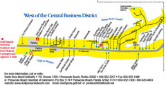
Pensacola Beach Tourist Map
357 miles away
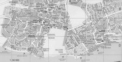
Bahamas Guide Map
360 miles away
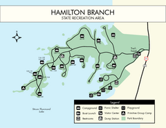
Hamilton Branch State Park Map
Simple state park map.
361 miles away
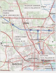
Pensacola, Florida Tourist Map
362 miles away
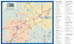
Auburn and Opelika City Map
Map of Auburn and Opelika, Alabama with tourist information.
363 miles away
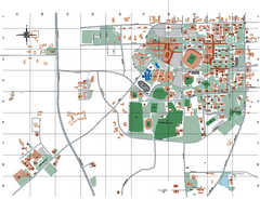
Auburn University Map
363 miles away

