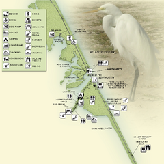
Sebastian Inlet State Park Map
Map of park with detail of trails and recreation zones
85 miles away

University of Florida Map
88 miles away
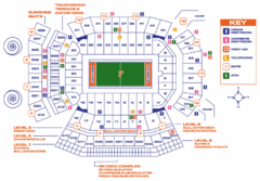
Ben Hill Griffin Stadium Map
Clear map and legend of this stadium.
88 miles away
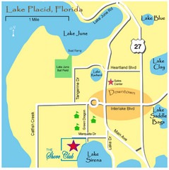
Lake Placide Town Map
88 miles away
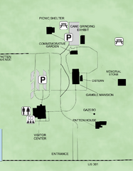
Gamble Plantation Historic State Park Map
Map of park with detail of recreation zones
92 miles away
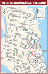
Downtown St. Augustine, Florida Map
Tourist map of historic downtown St. Augustine, Florida. Shows visitor information, restrooms, and...
93 miles away
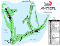
Fort De Sota Park Map
Shows facilities of Ft DeSota Park, Florida. Home of North Beach, rated #1 beach in America by...
95 miles away
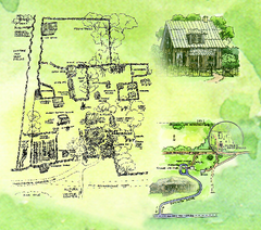
Dudley Farm Historic State Park Map
Map of park with detail of historical monuments
95 miles away
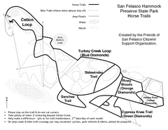
San Felasco Hammock Preserve State Park Horse...
Map of horse trails throughout preserve
96 miles away
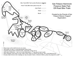
San Felasco Hammock Preserve State Park Bike...
Map of bike trails throughout preserve
96 miles away
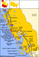
Bradenton Beach Map
Bradenton Beach and surrounding beach map.
97 miles away
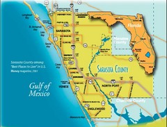
Sarasota Map
Sarasota county map and road system.
100 miles away
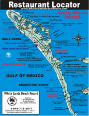
Anna Maria Island, Florida Restaurant Map
100 miles away
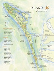
Ana Maria Island Tourist Map
101 miles away
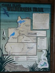
Myakka Island Trail Map
Trail map of Myakka Island. From photo.
101 miles away
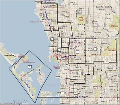
Sarasota, Florida City Map
102 miles away
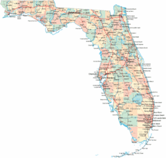
Florida Road Map
105 miles away

Birdwatching Areas in St. Lucie County Florida Map
Map shows Birdwatching Areas in St. Lucie County, Florida.
107 miles away
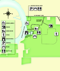
Fanning Springs State Park Map
Map of park with detail of trails and recreation zones
108 miles away
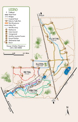
Oscar Scherer State Park Trail Map
Map of park with detail of hiking trails throughout
110 miles away
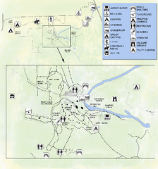
OLeno State Park Map
Map of park with detail of trails and recreation zones
111 miles away
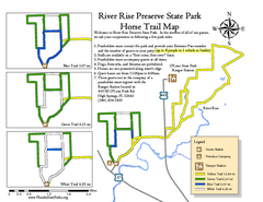
River Rise Preserve State Park Horse Trail Map
Map of horse trails throughout preserve
111 miles away

Baseball Spring Training in Souther Florida Map
Guide 2009 Baseball Spring Training in Florida
111 miles away

Port St. Lucie , Florida City Map
117 miles away
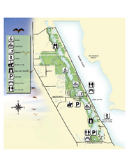
Savannas Preserve State Park Map
Map of park with detail of trails and recreation zones
117 miles away
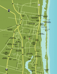
Port St. Lucie Map
Map of Port Saint Lucie.
120 miles away
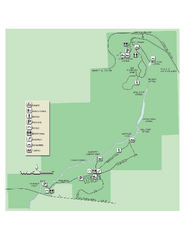
Ichetucknee Springs State Park Map
Map of park with detail of trails and recreation zones
120 miles away
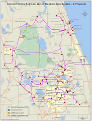
Jacksonville, Florida City Map
122 miles away
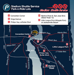
Stadium Shuttle Service Map
122 miles away
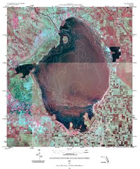
Elevation contour maps of Lake Okeechobee Map
Elevation contour maps of Lake Okeechobee
125 miles away
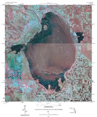
Elevation Contours of Lake Okeechobee Map
Elevation contour maps of Lake Okeechobee
125 miles away
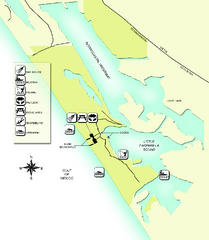
Don Pedro Island State Park Map
Map of park with detail of trails and recreation zones
127 miles away
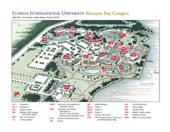
Florida International University at Biscayne...
127 miles away
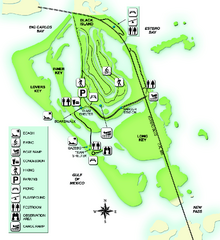
Lovers Key State Park Map
Map of park with detail of trails and recreation zones
131 miles away
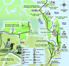
Jacksonville Area Florida State Parks Map
Overview map of Florida State Parks near Jacksonville, Florida. Shows Pumpkin Hill Creek Preserve...
132 miles away
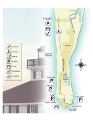
Gasparilla Island State Park Map
Map of park with detail of trails and recreation zones
133 miles away
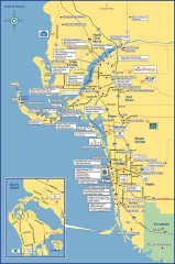
Fort Meyers tourist map
Tourist map of Fort Meyers, Florida. Shows businesses and points of interest.
133 miles away
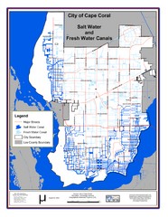
Cape Coral, Florida City Map
134 miles away
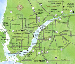
Cap Coral and Surrounding Area Map
Small, humble fishing community along the coast of Florida.
136 miles away
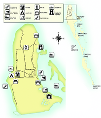
Cayo Costa State Park Map
Map of park with detail of trails and recreation zones
136 miles away

