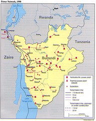
Burundi Power Plant Map
Map marking hydroelectric and thermal power plants, plus transmission lines.
572 miles away
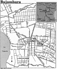
Burundi City Map
Simple city map labeling road systems.
572 miles away
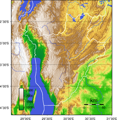
Burundi Topography Map
Color-coded physical relief map of country of Burundi
577 miles away
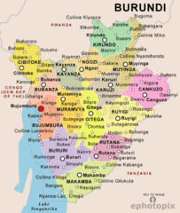
Burundi Political Map
582 miles away
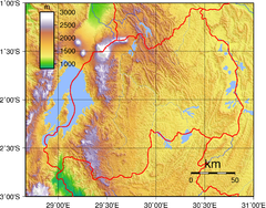
Rwanda Topography Map
627 miles away
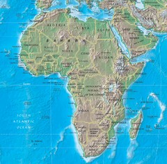
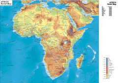
Physical Africa Map
627 miles away
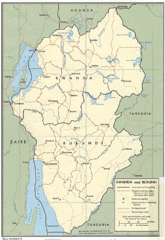
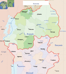
Rwanda and Burundi Guide Map
633 miles away
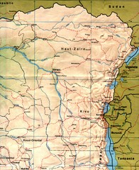
Zaire (Eastern Region) Map
Eastern Zaire (now Democratic Republic of the Congo)
639 miles away

Lake Malawi Map
643 miles away
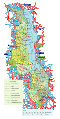
Malawi Overview Map
Overview of country of Malawi on Lake Malawi. Shows roads and rivers.
646 miles away
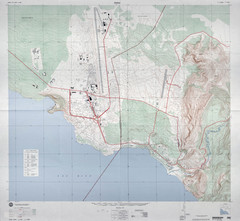
Goma Map
Goma, Democratic Republic of the Congo • original scale 1:7,500, Edition 3-DMA, Series Z091.
646 miles away
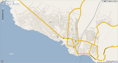
Goma, Congo street map
Street map of eastern Congo–Kinshasha city of Gome, near the Rwanda border. Produced by...
647 miles away
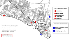
City of Goma Evacuation Plan, late 2007 Map
Map of Goma indicating evacuation points for Congolese government push against rebel groups (mostly...
647 miles away
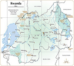
Rwanda Parks and Rainforest Map
651 miles away
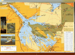
Moremi Game Reserve at Okavango Delta Map
652 miles away
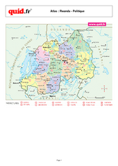
Rwanda Regional Map
Map of Rwanda with detail of regional divides
652 miles away
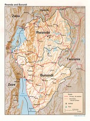
Rwanda Topographic Map
Guide to the African country of Rwanda
655 miles away
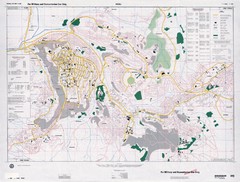
Kigali Road Map
660 miles away
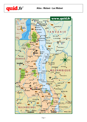
Lake Malawi Map
Map of Lake Malawi and surrounding region
663 miles away
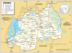
Rwanda Road Map
664 miles away

Okavango Delta Map
666 miles away
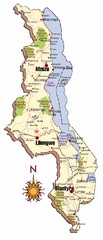
Malawi Map
671 miles away
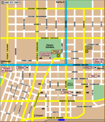
Harare City Tourist Map
Map of city center with detail of street names and hotels
677 miles away
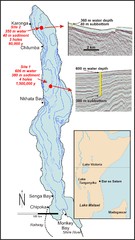
Lake Malawi Bathemetric Map
683 miles away
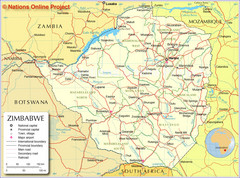
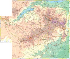
Zimbabwe Tourist Map
683 miles away
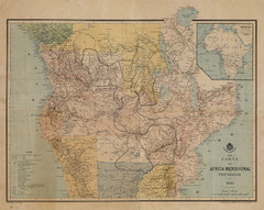
Map Color Pink: Portuguese States of Africa
"Map Color Pink" was the name given to the Portuguese project to link Angola to...
689 miles away
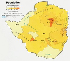
South Rhodesia Population Map
This map marks the distribution of population within South Rhodesia.
709 miles away
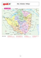
Zimbabwe Regional Map
Country map with detail of regional divides
718 miles away
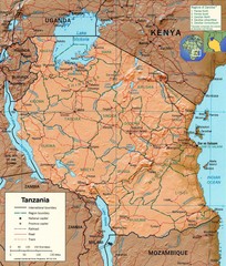
Tanzania Map
725 miles away
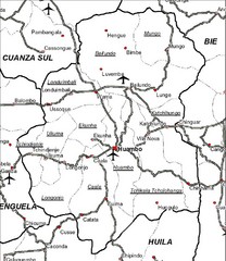
Huambo City Map
Simple road map marking streets and airports.
729 miles away
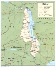
Malawi Map
Guide to Malawi, a country in Africa
734 miles away
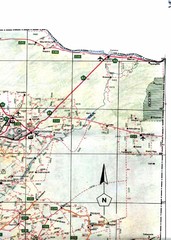
Northeast Namibia Map
735 miles away
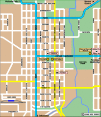
Bulawayo City Tourist Map
Map of city center with detail of streets and hotels
743 miles away
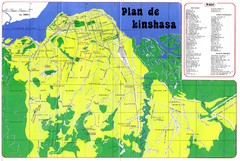
Kinshasa Overview Map
Overview map of Kinshasa, Democratic Republic of Congo shows major streets.
769 miles away

