
Phoenix, Arizona City Map
168 miles away
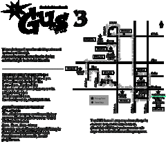
Glendale Urban Shuttle 3 Map
168 miles away
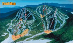
Sunrise Park Ski Trail Map
Official ski trail map of Sunrise Park ski area
172 miles away
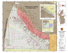
Barry M. Goldwater Range Topographical Map
Map showing detailed information about the Barry M. Goldwater Range, Sauceda and Sand Tank...
172 miles away
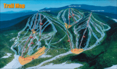
Sunrise Park Resort Ski Trail Map
Trail map from Sunrise Park Resort, which provides downhill, night, nordic, and terrain park skiing...
172 miles away
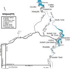
Scottsdale Map
Map of Scottsdale's reservoirs and recreational areas.
173 miles away

University Of Phoenix Stadium Map
One of the most amazing stadiums, with the first fully retractable natural grass playing surface...
179 miles away
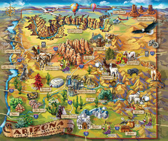
Arizona Fun Map
179 miles away
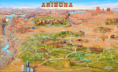
Northern Arizona attractions Map
179 miles away
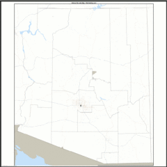
Arizona Zip Code Map
Check out this Zip code map and every other state and county zip code map zipcodeguy.com.
179 miles away
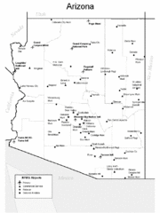
Arizona Airports Map
179 miles away
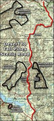
Desert to Tall Pines Scenic Byway Map
A much better map of the Desert to Tall Pines Scenic Byway. Unfortunately does not give hiking...
181 miles away
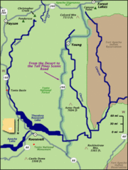
From the Desert to the Tall Pines Scenic Byway Map
Desert to Tall Pines Scenic Byway. This is the Scenic Byways official name. This is not a very...
181 miles away
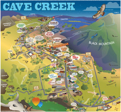
Cave Creek, Arizona Map
187 miles away
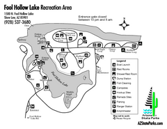
Fool Hollow Lake Recreation Area Map
Map of recreation area with detail of trails and recreation zones
189 miles away
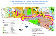
Migrant Deaths along US Border - California and...
Map shows locations of migrant deaths from 2000-2004 along the US-Mexican border in California and...
190 miles away
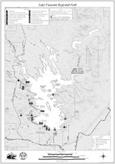
Lake Pleasant Regional Park Map
199 miles away
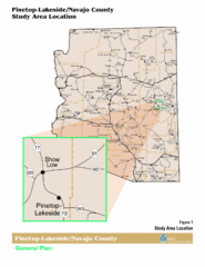
Arizona Highway Map
203 miles away
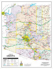
Arizona State Road Map
Arizona state road map
205 miles away
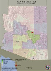
Cannabis Seized in Arizona Map 2005
Shows outdoor plants and sites seized in Arizona, by county, in 2005.
205 miles away
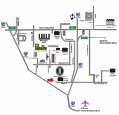
Area Map of El Paso
Area Map of El Paso. Illustrates all buildings, streets and Visitor Parking in the city.
223 miles away

El Paso, Texas City Map
223 miles away
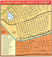
Downtown El Paso Map
Downtown tourist street map of El Paso and nearby Juarez
223 miles away
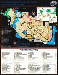
The University of Texas at El Paso Map
The University of Texas at El Paso. All buildings shown.
223 miles away

Franklin Mountains, Texas State Park Facility and...
224 miles away
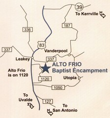
Alto Frio, Texas Tourist Map
226 miles away
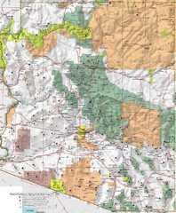
Arizona Prominance Map
Prominant peaks are marked by flags in 4 categories according to elevation.
232 miles away
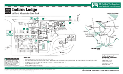
Indian Lodge, Texas State Park Location and Room...
235 miles away
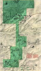
Petrified Forest Map
Map of the Petrified Forest, Painted Desert and Rainbow Forest. Shows all roads, tourist...
241 miles away
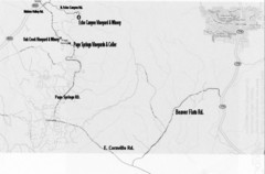
Central Arizona Wineries Map
242 miles away
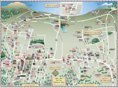
Prescott tourist map
Tourist and business map of Prescott, Arizona. Shows all businesses in the tri-city area.
243 miles away
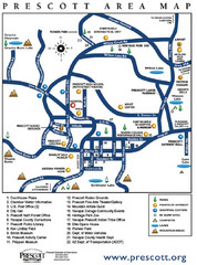
Prescott Area Map
243 miles away
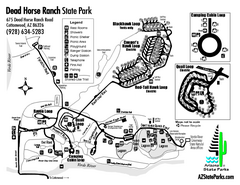
Dead Horse Ranch State Park Map
Map of park with detail of trails and recreation zones
243 miles away
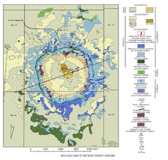
Meteor Crater Geologic Map
245 miles away
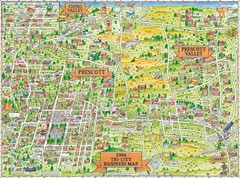
Prescott Prescott Valley and Chino Valley Tourist...
Tri-city tourist map of Prescott, Arizona, Prescott Valley, Arizona, and Chino Valley, Arizona...
245 miles away
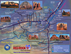
Sedona Tourist Map
Tourist map of Sedona, AZ. Shows points of interest and photos of local red rock formations and...
245 miles away
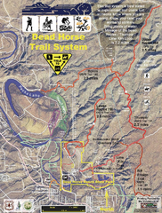
Dead Horse Trail System Map
Trail map of area surrounding Dead Horse State Park in Clarkdale, Arizona
245 miles away
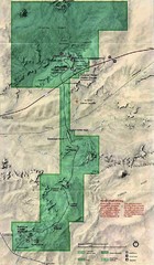
Petrified Forest National Park Map
Petrified Forest National Park Map with trails, vistiors centers and park area marked.
246 miles away
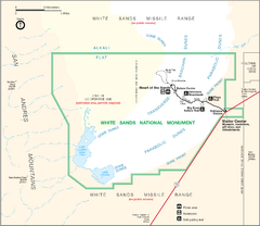
White Sands National Monument Map
247 miles away
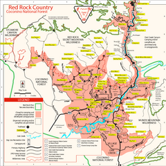
Red Rock County Trail Map
Trail map of trails of Red Rock County, AZ around Sedona, AZ. Shows trailheads and trail names.
247 miles away

