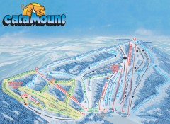
Catamount Ski Trail Map
Official ski trail map of Catamount ski area from the 2006-2007 season.
148 miles away
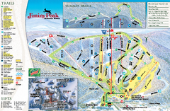
Jiminy Peak Resort Ski Trail Map
Trail map from Jiminy Peak Resort.
148 miles away
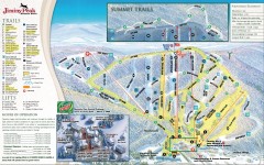
Jiminy Peak Ski Trail Map
Official ski trail map of Jiminy Peak ski area from the 2007-2008 season.
148 miles away

Niagara Falls Map
Photographic Map of Niagara Falls - tourist / visitor information.
148 miles away
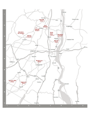
Shawangunk Wine Trail Map
Map of the Shawangunk Wine Trail on the Hudson River in New York. Shows all vineyards and wineries...
149 miles away
Fort Ticonderoga 1777 Map
149 miles away
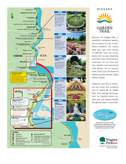
Niagara Garden Trail Map
Tourist map of attractions along the Garden Trail along the Canadian side of the St. Lawrence River...
149 miles away
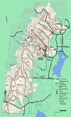
Pittsfield State Forest winter trail map
Winter use trail map of Pittsfield State Forest in Massachusetts.
149 miles away
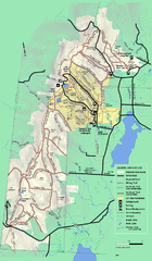
Pittsfield State Forest summer trail map
Summer use trail map of Pittsfield State Forest in Massachusetts.
149 miles away
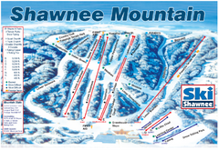
Shawnee Mountain Ski Trail Map
Trail map from Shawnee Mountain.
149 miles away
Shaftsbury State Park Map
Campground map of Shaftsbury State Park in Vermont.
149 miles away
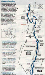
Deleware River Boat Map
149 miles away
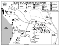
Lake St. Catherine State Park Campground Map
Campground map of St. Catherine State Park in Vermont
150 miles away
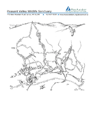
Pleasant Valley Wildlife Sanctuary Trail Map
Trail map of Pleasant Valley Wildlife Sanctuary
151 miles away
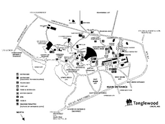
Tanglewood Map
Detailed map of the Tanglewood grounds that includes the location of the Box Office, Friends Office...
151 miles away
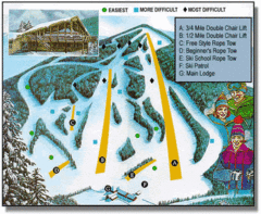
Bousquet Ski Area Ski Trail Map
Trail map from Bousquet Ski Area.
151 miles away
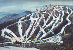
Brodie Ski Trail Map
Trail map from Brodie.
151 miles away
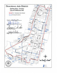
Pittsfield,, Massachusetts City Map
151 miles away
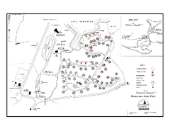
Bomoseen State Park map
Campground map of Bomoseen State Park in Vermont
152 miles away
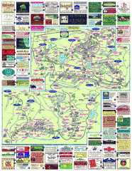
South County Berkshires map
Tourist map of Great Barrington, Housatonic, Sheffield, S. Egremont, N. Egremont Lenox, Stockbridge...
152 miles away

R. B. Winter State Park map
Recreation map for R. B. Winter State Park in Pennsylvania
152 miles away
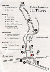
Jim Thorpe Tourist Map
Tourist map of historic Jim Thorpe, Pennsylvania. Scanned from a tourist brochure
152 miles away
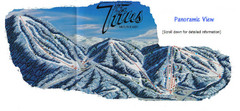
Titus Mountain Ski Trail Map
Trail map from Titus Mountain.
152 miles away
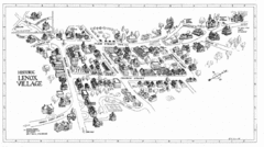
Lenox Village Map
Hand-drawn village map of historic center of Lenox, Massachusetts
152 miles away

Bucktail State Park Natural Area map
Detailed map of Bucktail State Park Natural Area in Pennsylvania
152 miles away
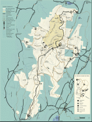
Mt. Greylock State Reservation map
Official summer map of the Mount Greylock State Reservation. At 3,491 feet, Mount Greylock is the...
152 miles away
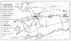
Lenox Town Map
Hand-drawn town map of Lenox, Mass. Bordered by Lenox Mountain and October Mountain. Shows points...
153 miles away

Beltzville State Park map
Detailed recreation map for Beltzville State Park in Pennsylvania
153 miles away
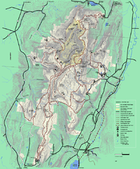
Mt. Greylock State Reservation winter trail map
Winter use trail map of Mt. Greylock State Park in Massachusetts.
153 miles away
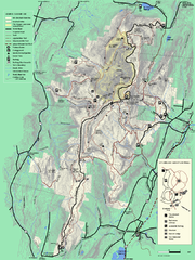
Mt. Greylock State Reservation summer trail map
Summer trail map of the Mt. Greylock State Park area in Massachusetts.
153 miles away
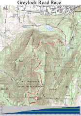
Mt. Greylock Road Race Course Map
Course map of the annual Mount Greylock Road Race. 8 Miles (uphill). Start/Finish: Mt. Williams...
153 miles away
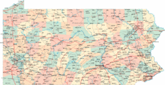
Pennsylvania Road Map
Pennsylvania detailed road map
153 miles away
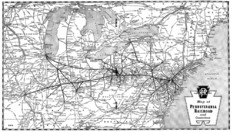
Pennsylvania Railroad System Map
Pennsylvania Railroad system map
153 miles away
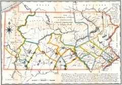
Pennsylvania Survey Map 1791
Survey Map 1791
153 miles away

Mountain Creek South Ski Trail Map
Trail map from Mountain Creek.
153 miles away
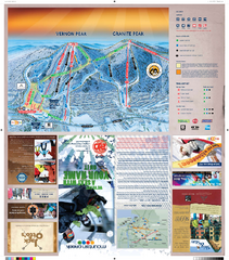
Mountain Creek North Ski Trail Map
Trail map from Mountain Creek.
153 miles away
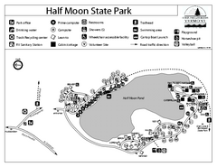
Half Moon State Park Campground Map
Campground map of Half Moon State Park in Vermont
153 miles away
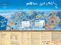
Mountain Creek Ski Trail Map
Official ski trail map of Mountain Creek ski area from the 2007-2008 season. (formerly Vernon...
153 miles away
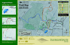
Equinox Preservation Trail map
Trail map of the Equinox Preservation Trust in Manchester, VT. The Equinox Preservation is over...
153 miles away

