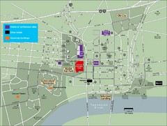
University of Tennessee Map
Map with locations of downtown Tennessee.
234 miles away

University of Tennessee Map
234 miles away
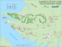
Barren River Lake State Resort Park Map
Map of facilities and golf course in Barren River Lake State Resort Park.
235 miles away
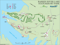
Barren River State Park map
Recreation map for Barren River Lake State Park in Kentucky
235 miles away
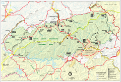
Great Smokey Mountains National Park Trail Map
Hiking trails.
235 miles away
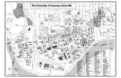
University of Tennessee Map
Campus Map of the University of Tennessee. All areas shown.
236 miles away
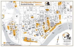
University of Tennessee Tourist Map
236 miles away
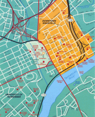
Knoxville, TN Tourist Map
236 miles away
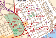
Knoxville, TN Tourist Map
236 miles away
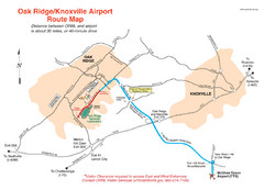
Knoxville and Oakridge Airports Map
236 miles away

Knoxville, Tennessee City Map
236 miles away
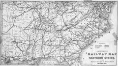
1865 Southern US States Railway Map
Guide to railroad travel in the southern United States
236 miles away
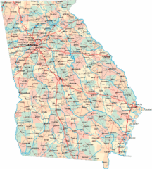
Georgia Road Map
Detailed, colorful road map of the state of Georgia.
237 miles away
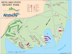
KenLake State Resort Park Map
Map of trails, facilities, and golf course for the KenLake State Resort Park located on the mid...
237 miles away
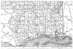
Mississippi Gulf Coast counties, 1906 Map
237 miles away
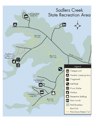
Sadlers Creek State Park Map
This simple map gives you an easy to follow layout of this amazing state park.
237 miles away
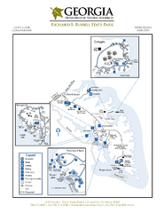
Richard B. Russell State Park Map
Map of park with detail of trails and recreation zones
238 miles away
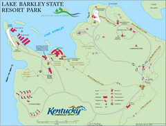
Lake Barkley State Resort Park Map
Map of the trails and facilities of Lake Barkley State Resort Park.
238 miles away

Abraham Balwin Agricultral College Campus Map
238 miles away
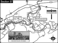
Knoxville, TN Tennessee River/Holston River...
This is the source of the Tennessee River at the confluence of the Holston River and French Broad...
238 miles away
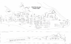
Dauphin Island Street Map
239 miles away
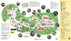
Knoxville Zoo Map
239 miles away
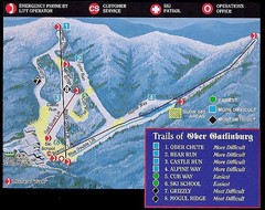
Ober Gatlinburg Ski Resort Ski Trail Map
Trail map from Ober Gatlinburg Ski Resort.
239 miles away

Sassafras Ridge Panorama Map
Panoramic view from Sassafras Ridge near Cashiers, North Carolina.
239 miles away

Dauphin Island Change Detection Map
239 miles away
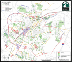
Bowling Green Biking Map
Map of biking trails in the city of Bowling Green area. Includes all streets, parks, some buildings...
239 miles away
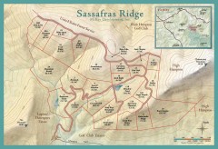
Sassafras Ridge Shaded Relief Map
This map is a shaded relief property map with survey boundaries and property roads. The map...
240 miles away
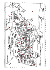
Clemson University Map
241 miles away
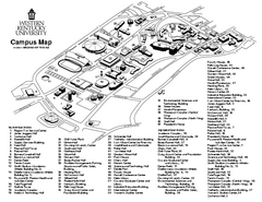
Western Kentucky University Map
Western Kentucky University Campus Map. All buildings shown
241 miles away
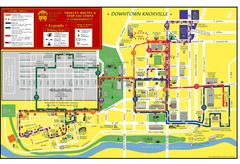
Knoxville, TN Tourist Map
241 miles away
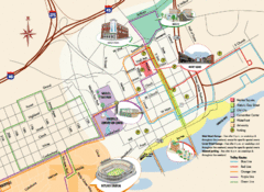
Knoxville, TN Tourist Map
241 miles away
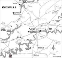
Knoxville, TN Tourist Map
241 miles away
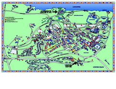
Clemson University Map
Clemson University Campus Map. All buildings shown.
241 miles away
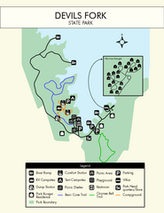
Devils Fork State Park Map
Clearly marked state park map.
242 miles away
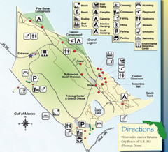
St. Andrews State Park Map
Overview map of St. Andrews State Park, #2 beach in America by TripAdvisor.com, 2008
243 miles away
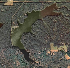
Lake Tallavana Map
Lake Tallavana aerial Map of the lake and surrounding areas.
244 miles away

Lake Tallavana Parcel Map
Lake Tallavana Parcel Map
245 miles away
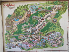
Dollywood Park Map
245 miles away
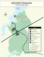
Keowee Toxaway State Park Map
Clear and detailed map of this wonderful state park.
245 miles away
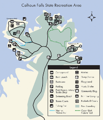
Calhoun Falls State Park Map
Clear map and detailed legend help make this map easy to read and follow.
245 miles away

