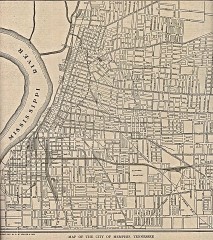
Antique map of Memphis from 1911
Antique map of Memphis, Tennessee from The New Encyclopedic Atlas and Gazetteer of the World. New...
215 miles away
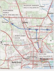
Pensacola, Florida Tourist Map
216 miles away
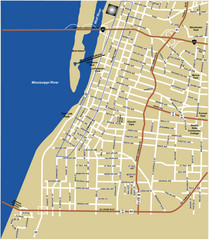
Downtown Memphis Map
216 miles away
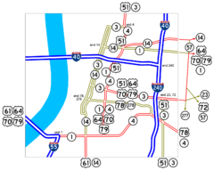
Downtown Memphis Map
Roads and freeways around Memphis.
216 miles away
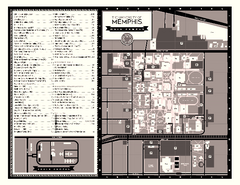
University of Memphis Map
Campus Map of the University of Memphis. All buildings shown.
217 miles away
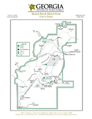
Black Rock Mountain State Park Map
Map of park with detail of trails and recreation zones
217 miles away
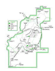
Black Rock State Park map
Detailed recreation map for Black Rock State Park in Georgia
217 miles away
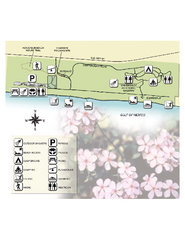
Henderson State Park Map
Map of park with detail of trails and recreation zones
218 miles away
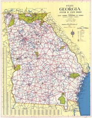
Georgia Road Map
Road map of state of Georgia, 1952
219 miles away
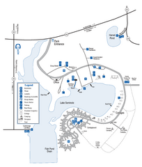
Seminole State Park Map
Map of park with detail of trails and recreation zones
219 miles away
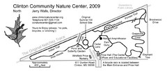
Clinton Community Nature Center Map
A relaxing walk through the Clinton Community Nature Center.
220 miles away
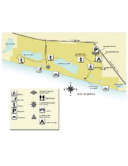
Topsail Hill Preserve State Park Map
Map of park with detail of recreation zones
220 miles away

Pensacola Beach Tourist Map
221 miles away
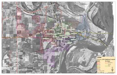
West Memphis City Map
City Map of West Memphis with ward boundaries
221 miles away
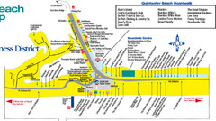
Quitewater Beach Boardwalk Map
221 miles away
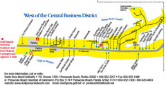
Pensacola Beach Tourist Map
221 miles away
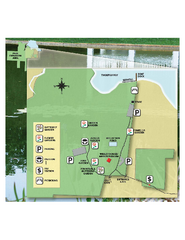
Eden Gardens State Park Map
Map of park with detail of gardens
222 miles away
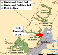
Cumberland Trail, Alabama Map
222 miles away
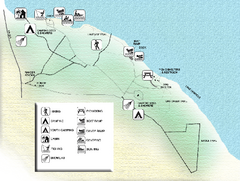
Three Rivers State Park Map
Map of park with detail of recreation zones
222 miles away
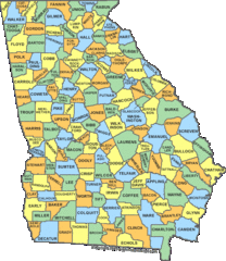
Georgia Counties Map
222 miles away
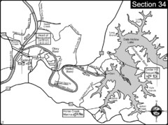
Celina, TN Dale Hollow Lake-Cumberland River Map
Celina Tennessee is the location for the head of navigation for the Cumberland River at the fork of...
223 miles away
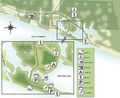
Grayton Beach State Park Map
Map of park with detail of trails and recreation zones
224 miles away
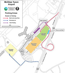
McGhee Tyson Airport Map
225 miles away
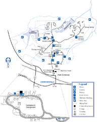
A. H. Stephens Historic Park Map
Map of park with detail of trails and recreation zones
226 miles away
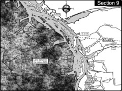
Lake Barkley-Cumberland River Map
Portion of Lake Barkley formed on the Cumberland River. In this section the state line is shown...
226 miles away
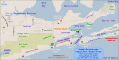
Orange Beach, Florida Beach Tourist Map
228 miles away
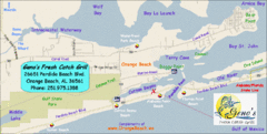
Orange Beach Tourist Map
228 miles away
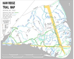
Haw Ridge Trail Map
228 miles away
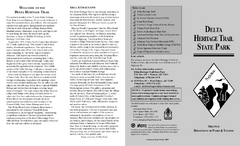
Delta Heritage Trail State Park Map
Map of Arkansas Historical Delta Heritage Trail both completed and uncompleted sections.
229 miles away
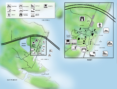
Camp Helen State Park Map
Map of park with detail of various recreation zones
230 miles away

Gulf Islands National Seashore Park Map
Official NPS map of the Gulf Islands National Seashore Park. Largest National Seashore in the US...
231 miles away
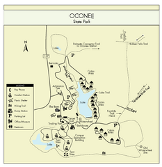
Oconee State Park Map
Beautiful state park clearly mapped with legend.
231 miles away

Mississippi & Alabama coastal area, 1732 Map
231 miles away
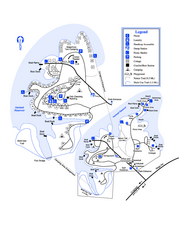
Hart State Park Map
Map of park with detail of trails and recreation zones
231 miles away
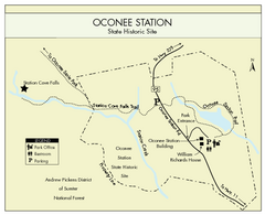
Oconee Station Map
Clear and simple map of Oconee State Park's station.
233 miles away
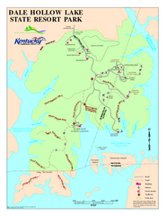
Dale Hollow Lake State Park Map
Map of trails and facilities of Dale Hollow Lake State Park.
233 miles away
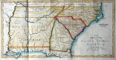
Southern Parts of the US Map
"This map was initially published in Morse's American Gazetteer in 1797 with Georgia...
233 miles away
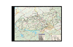
Great Smoky Mountains National Park - Trail map
Official trail map of Great Smoky Mountains National park. Shows all trails, park roads, visitor...
234 miles away
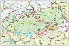
Great Smoky Mountains National Park - Park map
Official park map of Great Smoky Mountains National park. Shows location of all park roads...
234 miles away
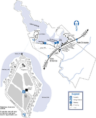
Hamburg State Park Map
Map of park with detail of trails and recreation zones
234 miles away

