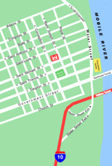
Midtown Nashville and West End Map
183 miles away
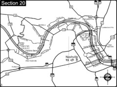
Nashville, TN-Cumberland River Map
The Cumberland River is an important waterway to the city of Nashville. Nashville is also a great...
184 miles away
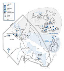
Hard Labor Creek State Park Map
Map of park with detail of trails and recreation zones
185 miles away
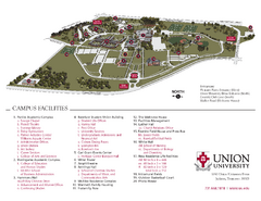
Union University Jackson Campus Map
Campus map of Union University in Jackson, Tennessee
190 miles away
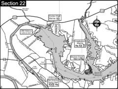
Old Hickory Lake-Cumberland River Map
Section 22 from the Cumberland River Guidebook shows the dam that forms Old Hickory Lake near...
191 miles away
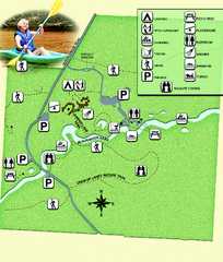
Blackwater River State Park Map
Map of park with detail of various recreation zones
195 miles away
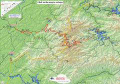
Cherohala Map
Map of Cherohala Skyway. Includes Visitor Information, roads, camping areas, and trails.
196 miles away
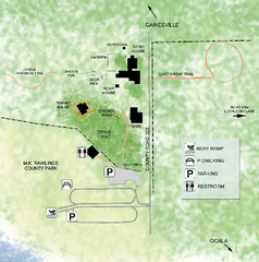
Marjorie Kinnan Rawlings Historic State Park Map
Map of park with detail of trails and recreation zones
199 miles away
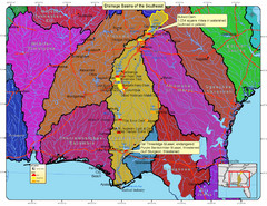
Drainage Basins of the Southeast United States Map
Lakes, rivers and dams in the Apalachicola, Chattahoochee and Flint River System.
199 miles away

University of Georgia and Surrounding Area Map
199 miles away
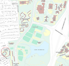
Brandon Town Map
Town of Brandon and University of Georgia Campus
200 miles away

Athens, Georgia City Map
200 miles away
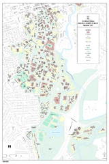
University of Georgia Map
Campus map of the University of Georgia. All buildings shown.
200 miles away
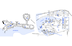
Georgia Veterans State Park Map
Map of park with detail of trails and recreation zones
201 miles away

Detailed Map of Hawkesdene House area
Detailed map of how to get to Hawkesdene House B&B Inn
201 miles away
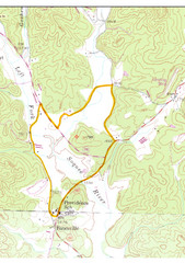
Soque River Ramble 6K Run & Walk Course...
Soque River Ramble 6K Race Course Elevation Map in Georgia.
202 miles away
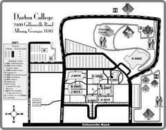
Darton College Campus Map
202 miles away

Athens Airport Lines Map
203 miles away
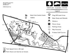
Shelby Farms Park Activities Areas Map
Visitor map of Shelby Farms Park. Shows parameters of dog areas, parking, play grounds, shelters...
204 miles away

Lake Oconee Map
205 miles away
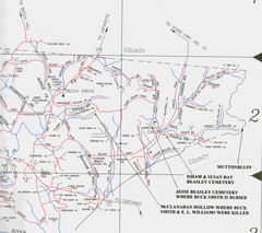
Trousdale County Muttonbluff Map
Pictured is a part of a map of Trousdale County containing the extreme northeast section. The...
205 miles away
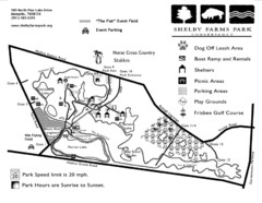
Shelby Farms Park Map
206 miles away
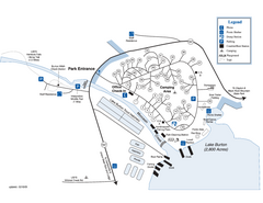
Moccasin Creek State Park Map
Map of park with detail of trails and recreation zones
206 miles away
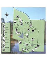
Falling Waters State Recreation Area Map
Map of park with detail of trails and recreation zones
207 miles away
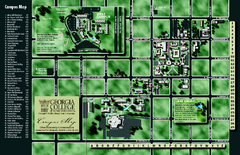
Georgia College Campus Map
Georgia College Campus Map. Shows all areas.
208 miles away
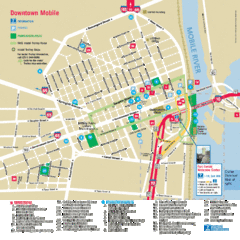
Mobile, Alabama Tourist Map
208 miles away
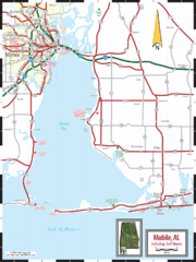
Mobile, Alabama Tourist Map
208 miles away
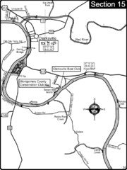
Clarksville, TN-Cumberland River Map
Cumberland River flows past Clarksville that has a great riverfront and services for traveling...
208 miles away
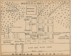
Antique map of Mobile from 1815
"Mobile in 1815" From Report on the Social Statistics of Cities, Compiled by George E...
209 miles away
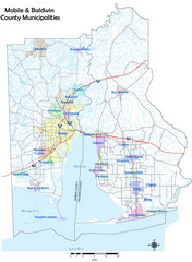
Mobile County Map
Clear map marking Mobile County and local area.
209 miles away

Mobile, Alabama City Map
209 miles away
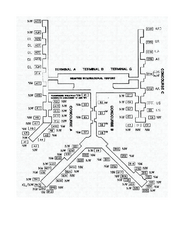
Memphis International Airport Terminal Map
Official Terminal Map of Memphis International Airport. Shows all terminals.
209 miles away
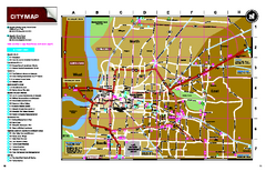
Memphis, Tennessee City Map
210 miles away
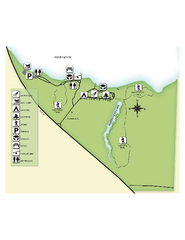
Fred Gannon Rocky Bayou State Park Map
Map of park with detail of trails and recreation zones
210 miles away
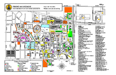
University of Southern Mississippi Map
212 miles away
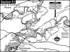
Kingston, TN Tennessee River/Clinch River/Emory...
Shows a bend on the Tennessee River at the confluence of the Clinch & Emory Rivers. For boat...
212 miles away
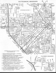
Hattiesburg, Mississippi City Map
212 miles away
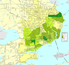
Pensacola, Florida City Map
212 miles away
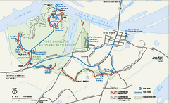
Fort Donelson National Battlefield Official Map
Official NPS map of Fort Donelson National Battlefield in Tennessee. Fort Donelson visitor center...
214 miles away

