
UWG Campus Map
99 miles away
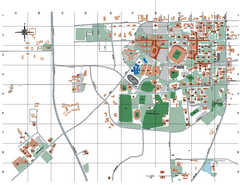
Auburn University Map
99 miles away
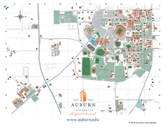
Auburn University Map
Campus Map of Auburn University. All areas shown.
100 miles away
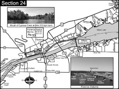
Florence, AL Tennessee River Map
For boating navigational information and river road travel along the Tennessee River. This map...
100 miles away
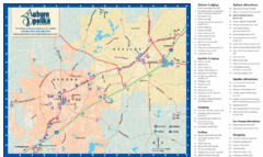
Auburn and Opelika City Map
Map of Auburn and Opelika, Alabama with tourist information.
101 miles away
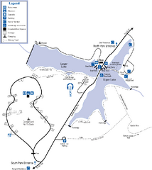
James H. Floyd State Park Map
Map of park with detail of trails and recreation zones
106 miles away

Tishomingo State Park, Mississippi Map
This map unfortunately does not adequately represent this park which is in one of the few areas of...
112 miles away
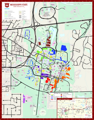
Mississippi State University Map
116 miles away
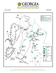
Cloudland Canyon State Park Map
Map of park with detail of trails and recreation zones
119 miles away
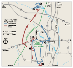
Tupelo National Battlefield Official Map
Official NPS map of Tupelo National Battlefield in Mississippi. Tupelo National Battlefield (NB...
121 miles away
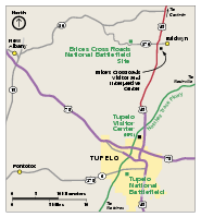
Brices Cross Roads National Battlefield Site...
Official NPS map of Brices Cross Roads National Battlefield Site in Mississippi. The grounds of the...
126 miles away
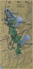
Antietam National Battelfield Map
126 miles away
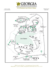
F.D. Roosevelt State Park Map
Map of park with detail of trails and recreation zones
127 miles away
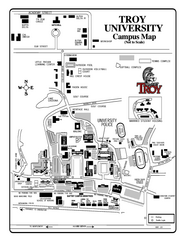
Troy University Map
Campus map of Troy University Troy campus. All areas shown.
129 miles away
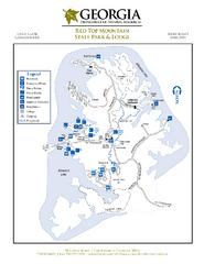
Red Top Mountain State Park Map
Map of park with detail of trails and recreation zones
129 miles away
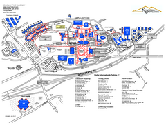
Kennesaw State University Map
Kennesaw State University Campus Map. All buildings shown.
131 miles away
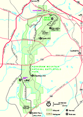
Kennesaw Mountain National Battlefield Park...
Official NPS map of Kennesaw Mountain National Battlefield Park in Georgia. We are a day use only...
131 miles away
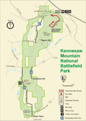
Kennesaw Moutain National Battlefield Park Map
131 miles away
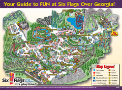
Six Flags Over Georgia Theme Park Map
Official Park map of Six Flags Over Georgia in Atlanta.
131 miles away
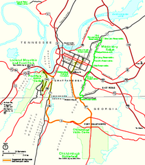
Chickamauga & Chattanooga National Military...
Official NPS map of Chickamauga & Chattanooga National Military Park in Georgia. All units of...
131 miles away
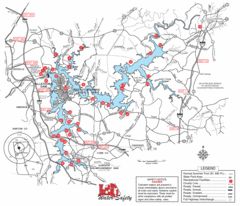
Allatoona Lake Map
132 miles away
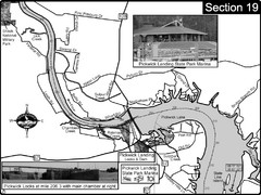
Pickwick Lake Tennessee River Map
For boating navigational information and river road travel along the Tennessee River. This map...
133 miles away
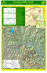
Noxubee Hills Trail Map
Shows singletrack and doubletrack trails in the Noxubee Hill trail system in Tombigbee National...
133 miles away
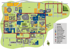
University of Tennessee Chattanooga Campus Map
Official campus map of University of Tennessee Chattanooga.
136 miles away

University of Tennessee Map
Campus map
136 miles away
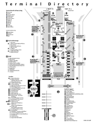
Atlanta Airport Map
137 miles away
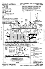
Atlanta Airport Map
137 miles away
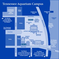
Tennessee Aquarium Campus Map
Map of Tennessee Aquarium Campus includes location of all buildings, bathrooms, parking, and...
137 miles away
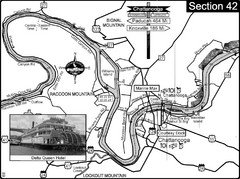
Chattanooga, TN Tennessee River Map
For boating navigational information and river road travel along the Tennessee River.
137 miles away
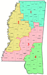
Mississippi Congressional Map
138 miles away
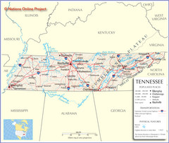
Tennessee Tourist Map
139 miles away
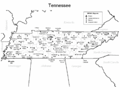
Tennessee Airports Map
139 miles away
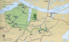
Civil War Era Tennessee State Battle Map
139 miles away
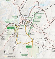
Chattanooga Guide Map
139 miles away
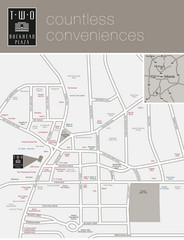
Two Buckhead Plaza/Surrounding Area Map
140 miles away
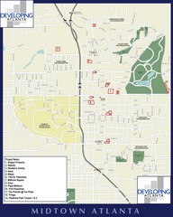
Midtown Atlanta Map
140 miles away
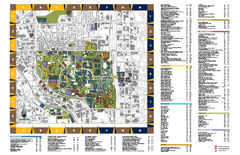
Georgia Institute of Technology Map
Georgia Institute of Technology Campus Map. All buildings shown.
140 miles away

Atlanta MARTA rail map
Official rail map of the Metropolitan Atlanta Rapid Transit Authority.
140 miles away
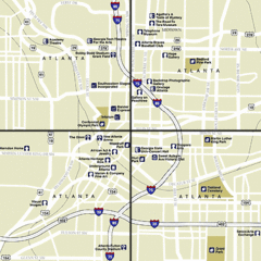
Atlanta, Georgia City Map
140 miles away
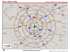
Atlanta Metro Proximity Ring Map
Shows proximity of downtown Atlanta, Georgia to surrounding areas
140 miles away

