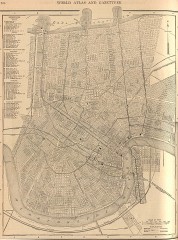
Antique map of New Orleans from 1908
Antique map of New Orleans, Louisiana, from The New Encyclopedic Atlas and Gazetteer of the World...
313 miles away
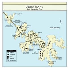
Dreher Island State Park Map
Clearly labeled state park map.
313 miles away
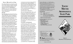
Toltec Mounds Archeological State Park Map
Map of the trails and earthworks sites of the Toltec Mounds Archeological State Park.
314 miles away
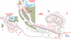
Suwanee Park Camping Map
314 miles away

New Orleans Magazine Street Map
Illustrated map by Michael A Hill for US Magazine - Lucky for shopping feature.
314 miles away
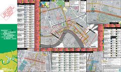
Prospect.1 New Orleans Biennial Art Map
Map of Prospect.1, the largest biennial of international contemporary art ever organized in the...
314 miles away
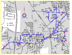
Berea Bus Route Map
314 miles away
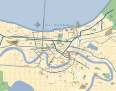
New Orleans Neighborhood Map
Overview map of city of New Orleans shows districts/neighborhoods and major streets.
315 miles away
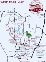
Shawnee Hills Wine Trail Map
Wineries in the Shawnee Hills area of Illinois.
315 miles away
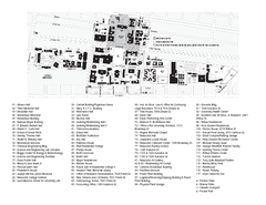
Tulane University Map
315 miles away
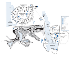
Laura S. Walker State Park Map
Map of park with detail of trails and recreation zones
315 miles away
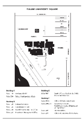
Uptown Square Map
316 miles away
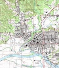
Batesville City Map
Topographic city map of Batesville, Arkansas
317 miles away
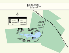
Barnwell State Park Map
Simple map of this state park.
318 miles away
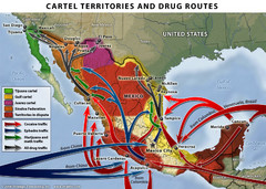
Mexican Drug Cartel Territories and Routes Map
319 miles away
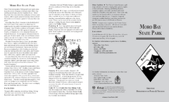
Moro Bay State Park Map
Map of Moro Bay State Park showing trails and park amenities.
320 miles away
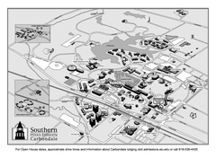
Southern Illinois University Carbondale Map
Campus Map of the Southern Illinois University Carbondale. All buildings shown.
321 miles away
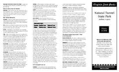
Natural Tunnel State Park Map
Detailed and informative state park map and legend.
322 miles away
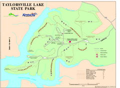
Taylorsville Lake State Park Map
Map of trails and facilities in Taylorsville Lake State Park.
322 miles away
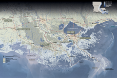
Jean Lafitte National Historical Park and...
Official NPS map of Jean Lafitte National Historical Park and Preserve in Louisiana. Map shows all...
322 miles away
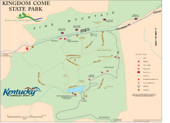
Kingdom Come State Park Map
Trail map for Kingdom Come State Park.
323 miles away
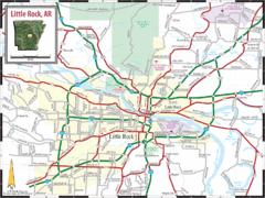
Little Rock, Arkansas City Map
324 miles away
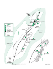
Stephen C. Foster State Park Map
Map of park with detail of trails and recreation zones
324 miles away
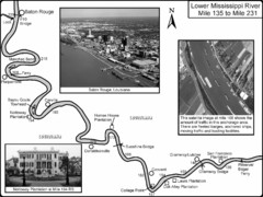
Mississippi River Mile 135 to Mile 231 Map
Historical Map from book "Mississippi River-Historical Sites and Interesting Places
324 miles away
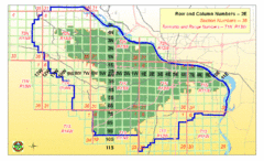
Little Rock City Map
City map of Little Rock, Arkansas with section designations
324 miles away
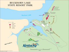
Buckhorn Lake State Resort Park Map
Map of Trails and Facilities of Buckhorn Lake State Resort Park.
324 miles away
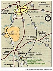
Louisville National Parks Map
National parks around Louisville.
326 miles away

South Carolina Counties Map
326 miles away
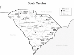
South Carolina Airports Map
326 miles away
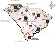
South Carolinas Airports Map
326 miles away
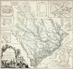
James Cook's South Carolina Map
English cartographer and explorer James Cook's 1773 map of English colony of South Carolina...
326 miles away
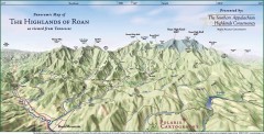
Panoramic Map of the Highlands of Roan (from TN)
Panoramic map of the Highlands of Roan as seen from Tennessee.
326 miles away

Roan Mountain Panorama Map
Panoramic Map of the View from the Baud Family Cabin of Roan Mountain, TN. The view overlooks...
326 miles away
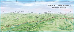
Panoramic View of Roan to Grandfather Map
This panorama takes in the vista from Roan to Grandfather mountain - overlooking the upper Linville...
327 miles away
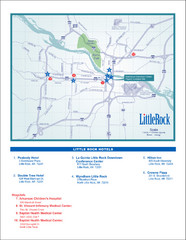
Little Rock Map
327 miles away
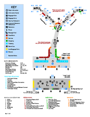
Louisville International Airport Terminal Map
Official Map of the Louisville International Airport. Shows all terminals and facilities.
327 miles away
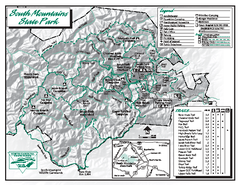
South Mountains State Park map
Detailed recrational map for South Mountain State Park in North Carolina
328 miles away
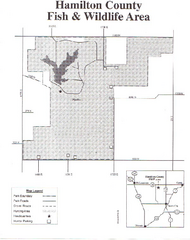
Hamilton County Wildlife Area, Illinois Site Map
329 miles away

