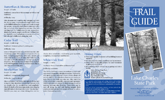
Lake Charles State Park Trail Map
Map of trails for Lake Charles State Park including othe park sites and amenities.
303 miles away
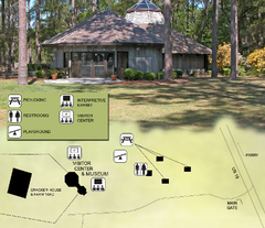
Forest Capital Museum State Park Map
Map of park with detail of recreation zones
303 miles away
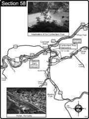
Harlan, KY-Cumberland River Headwaters Map
Section 58 of the Cumberland River Guidebook shows the beginning of the Cumberland River at the...
303 miles away
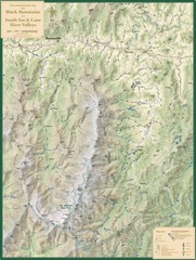
Black Mountains and South Toe and Cane River...
Guide to recreation around Mt. Mitchell State Park and Black Mountains
304 miles away
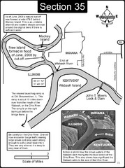
Mount Vernon, IN Wabash River & Ohio River Map
This is a page from the Wabash River Guidebook. The map shows important information for boaters and...
304 miles away
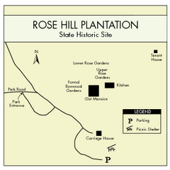
Rose Hill Plantation Map
Clear and simple state park map.
304 miles away
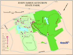
John James Audubon State Park Map
Map of trails, facilities and historical sites in John James Audubon State Park.
304 miles away
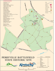
Perryville Battlefield State Historic Site Map
Map of trails and interpretive markers for the historical site of Perryville Battlefield.
305 miles away
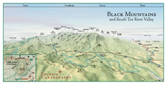
Black Mountains Panorama Map
This map portrays a sweeping vista of the Black Mountains and South Toe River Valley - extending...
305 miles away
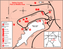
Saline County State Fish & Wildlife Area...
306 miles away
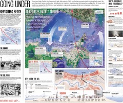
New Orleans Hurricane Map
This map, made before the Hurricane Katrina disaster in 2005, revisits the 1965 Hurricane Betsy and...
306 miles away
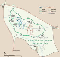
Cowpens National Battlefield Official Map
Official NPS map of Cowpens National Battlefield in South Carolina. Open 9:00 a.m. - 5:00 p.m...
307 miles away
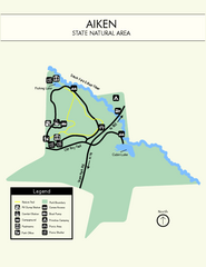
Aiken State Park Map
Small and simple state park map.
307 miles away
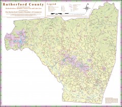
Tourist map of Rutherford County
Map of Rutherford County with detail panels for Rutherfordton, Spindale, Forest City, and Lake Lure.
307 miles away

University of New Orleans Lakefront Campus Map
308 miles away
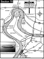
Ohio River at Evansville, IN and Henderson, KY Map
This is a page from the Ohio River Guidebook. The map shows important information for boaters and...
309 miles away
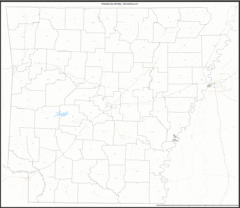
Arkansas Zip Code Map
Check out this Zip code map and every other state and county zip code map zipcodeguy.com.
309 miles away
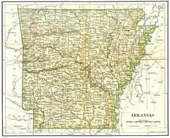
Old Arkansas Map
Old 1892 historical map in great condition.
309 miles away
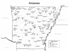
Arkansas Airports Map
309 miles away
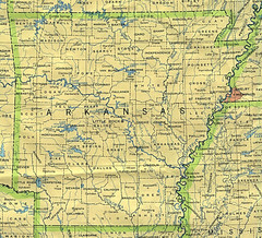
Arkansas County Map
Arkansas divided into counties
309 miles away
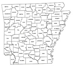
Arkansas Historical County Map
Historical County Map of Arkansas from 1936
309 miles away
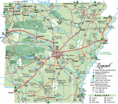
Arkansas State Park Map
Map highlights Arkansas State Parks and tourist areas including towns and major roads.
309 miles away
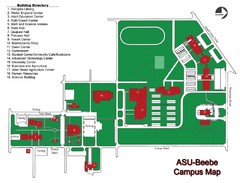
Arkansas State University-Beebe Campus Map
Campus map of Arkansas State University's Beebe campus.
309 miles away
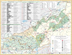
Pisgah National Forest and Nantahala National...
Pisgah National Forest and Nantahala National Forest recreation map. Contains list of all...
310 miles away
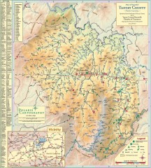
Yancey County Chamber of Commerce Map
Map of Yancey County, North Carolina. Shows all public roads, communities, hiking trails and picnic...
310 miles away
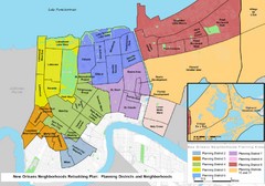
New Orleans Districts Map
Rebuilding map of New Orleans showing districts
311 miles away
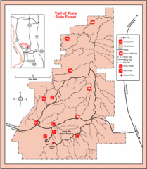
Trail of Tears State Park, Illinois Map
311 miles away
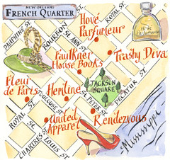
New Orleans French Quarter Map
Map produced for Us Magazine-Lucky for shopping feature on New Orleans.
312 miles away
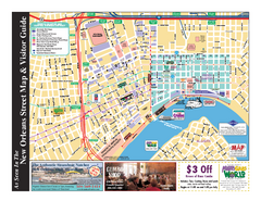
New Orleans French Quarter Map
Tourist street map of French Quarter in city of New Orleans, Louisiana
312 miles away
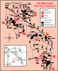
Ten Mile Creek State Wildlife Area, Illinois Site...
312 miles away
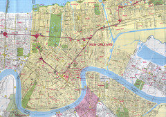
New Orleans, Louisiana City Map
312 miles away
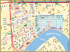
New Orleans French Quarter Street Map
Street map of New Orleans shows French Quarter, Arts/Warehouse District, Downtown/CBD.
312 miles away
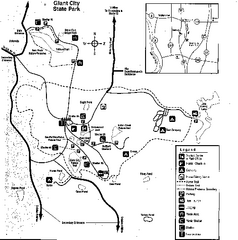
Giant City, Illinois Site Map
312 miles away
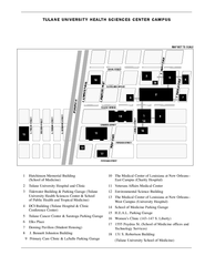
Tulane University Downtown Campus Map
312 miles away
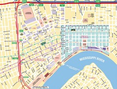
New Orleans Tourist Map
312 miles away
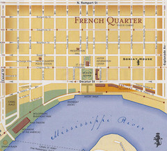
New Orleans Tourist Map
312 miles away
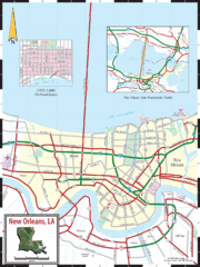
New Orleans Tourist Map
312 miles away
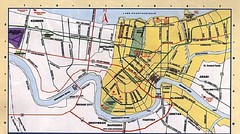
New Orleans Tourist Map
312 miles away
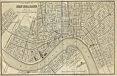
New Orleans 1873 Map
313 miles away

